Road Stream Crossing Site CHAR_CX04
Lake Charlevoix Watershed, Stover Creek
Ferry Ave
Charlevoix Twp,
Charlevoix County
Information collected by:
Site Location
GPS Coordinates: 45.300928
, -85.249953
T34N
R08W
Sec 35
Owned by Private
Structure is NOT Perched
Total Erosion: 0.1616 tons/year
Severity: Minor
Year Inventoried: 2011
Site ID
Site ID
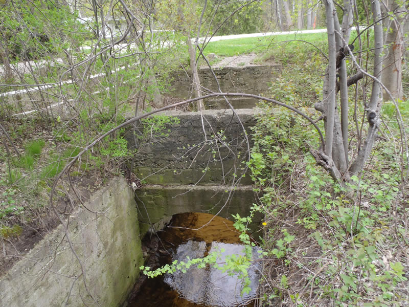
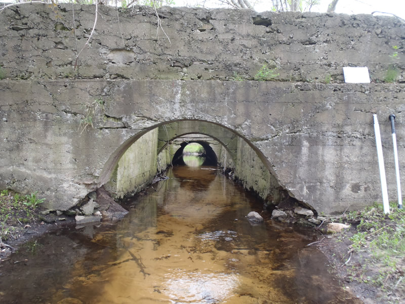
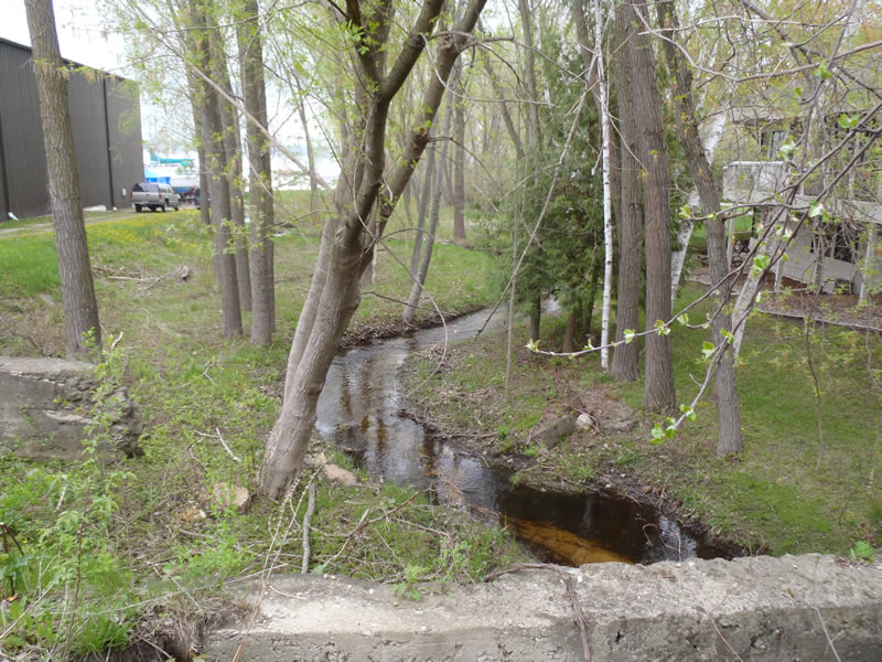
Inlet
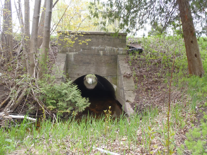
Outlet
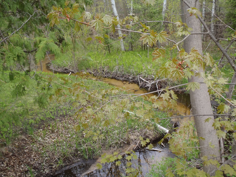
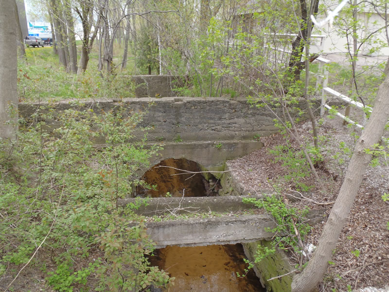
Upstream Conditions
Downstream Conditions
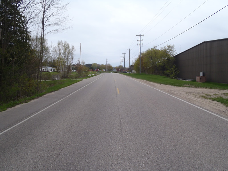
Road Approach - Left
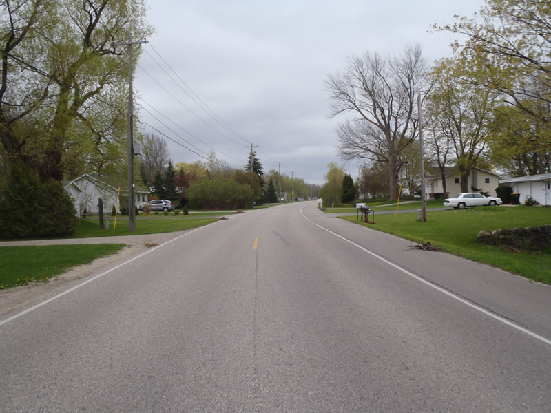
Road Approach - Right
Crossing Information
Type of Crossing: culvert(s)
Number of Structures: 1
Structure Shape: Open Bottom Arch
Inlet Type: Headwall
Outlet Type: At Stream Grade
Structure Material: Concrete
Structure Substrate: Mixture
General Conditions: Poor
Structure Interior: smooth
Dimensions of Structure: Length 130 ft.
, Width 8.5 ft.
, Height 5 ft.
Structure is NOT Perched
Structure Inlet
Water Depth: 1.09 ft.
Embedded Depth of Structure: 0 ft.
Water Velocity*: 0.4 ft./sec.
Structure Outlet
Water Depth: 0.49 ft.
Embedded Depth of Structure: 0 ft.
Water Velocity*: 0.8 ft./sec.
*Water Velocities were measured 0.5 ft. below Surface
(with Meter)
Stream Information
Stream Flow: Less than Bankfull
Riffle Information
Water Depth: 0.24 ft.
Bankfull Width: 10 ft.
Wetted Width: 9.5 ft.
Water Velocity: 1.9 ft./sec.
(Measured with Meter)
Dominant Substrate: Gravel
Road Information
Paved
County Road
Road Condition: Good
Road Width at Culvert: 30 ft.
Location of Low Point: At Stream
Runoff Path: Ditch
Embankments
Upstream
Fill Depth: 8 ft.
Slope: Vertical
Downstream
Fill Depth: 8 ft.
Slope: Vertical
Approaches
Left Approach
Length: 321 ft.
Slope: 1% to 5%
Vegetation: Heavy
LS Factor: 0.464
Erosion: 0.1478 tons/year
Right Approach
Length: 279 ft.
Slope: Less Than 1%
Vegetation: Partial
LS Factor: 0.05
Erosion: 0.0138 tons/year
Erosion Information
Total Erosion at Crossing: 0.1616 tons/year
Extent of Erosion: Moderate
Summary Information
Erosion is an area of concern for this site.
No, however the concrete is beginning to fail.
A future visit to this site is recommended.
For a more thorough check of the structure's stability.
�