Road Stream Crossing Site BEAR_BC077
Bear Creek Watershed, Tributary of Cedar Creek
Bigge Rd
Maple Grove Twp,
Manistee County
Information collected by:
Site Location
GPS Coordinates: 44.38233
, -85.95494
T23N
R14W
Sec 13
Owned by Private
Structure is NOT Perched
Total Erosion: 0.4596 tons/year
Severity: Moderate
Year Inventoried: 2011
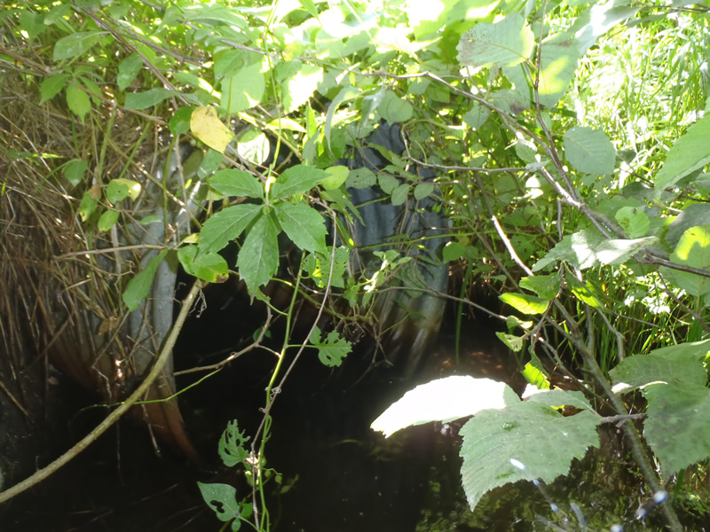
Inlet
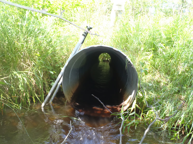
Outlet
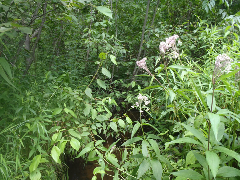
Upstream Conditions
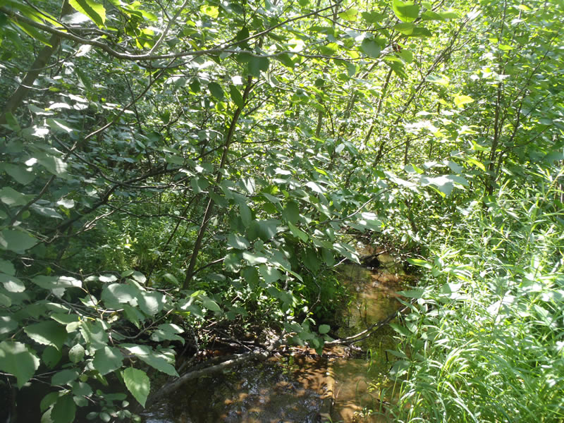
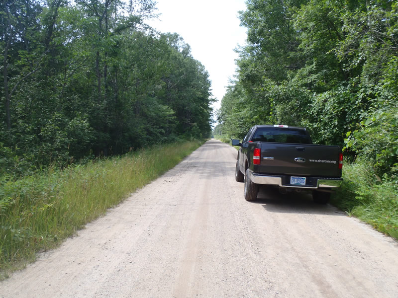
Downstream Conditions
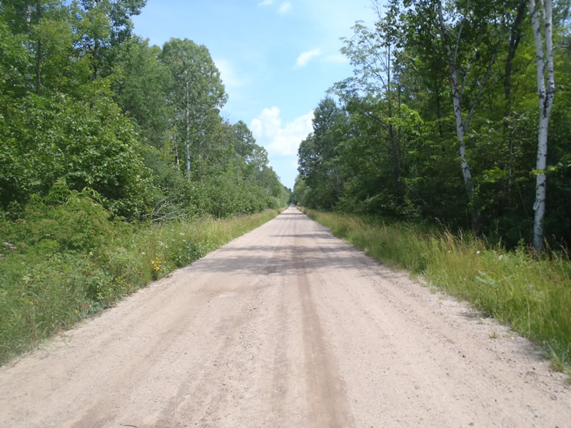
Road Approach - Left
Road Approach - Right
Crossing Information
Type of Crossing: culvert(s)
Number of Structures: 1
Structure Shape: Round
Inlet Type: Projecting
Outlet Type: At Stream Grade
Structure Material: Metal
Structure Substrate: None
General Conditions: Fair
Structure Interior: corrugated
Dimensions of Structure: Length 30 ft.
, Width 2.6 ft.
, Height 2.6 ft.
Structure is NOT Perched
Structure Inlet
Water Depth: 0.44 ft.
Embedded Depth of Structure: 0 ft.
Water Velocity*: 1.5 ft./sec.
Structure Outlet
Water Depth: 0.25 ft.
Embedded Depth of Structure: 0 ft.
Water Velocity*: 3 ft./sec.
*Water Velocities were measured 0.15 ft. below Surface
(with Meter)
Additional Comments
Inlet is 0.5 feet above stream grade.
Stream Information
Stream Flow: Less than Bankfull
Scour Pool: Length 12 ft.
, Width 6 ft.
, Depth 1.6 ft.
Riffle Information
Water Depth: 0.2 ft.
Bankfull Width: 8.4 ft.
Wetted Width: 6.8 ft.
Water Velocity: 1.6 ft./sec.
(Measured with Meter)
Dominant Substrate: Gravel
Road Information
Gravel
County Road
Road Condition: Fair
Road Width at Culvert: 18 ft.
Location of Low Point: Other
Runoff Path: Ditch
Embankments
Upstream
Fill Depth: 0.6 ft.
Slope: Vertical
Downstream
Fill Depth: 0.5 ft.
Slope: More than 1:2
Approaches
Left Approach
Length: 0 ft.
Slope: Less Than 1%
Vegetation: Heavy
LS Factor: 0.05
Erosion: 0.2479 tons/year
Right Approach
Length: 150 ft.
Slope: Less Than 1%
Vegetation: Heavy
LS Factor: 0.05
Erosion: 0.2098 tons/year
Erosion Information
Total Erosion at Crossing: 0.4596 tons/year
Extent of Erosion: Minor
Notes:
Minor ditch and minimal embankment erosion due to unstable soils.
Location of Erosion | Erosion Dimensions | Eroded Material | Material Eroded | Total Erosion | ||
facing downstream | Length | Width | Depth | Reaching Stream? | (tons/year) | |
Right Upstream Ditch |
2.5 ft. |
4 ft. |
2.5 ft. |
yes |
Sandy Loam |
0.0019 |
Summary Information
Erosion is an area of concern for this site.
�