Road Stream Crossing Site BEAR_BC088
Bear Creek Watershed, Tributary of Cedar Creek
Old Railroad North off Johnson Rd
Maple Grove Twp,
Manistee County
Information collected by:
Site Location
GPS Coordinates: 44.34739
, -86.01574
T23N
R14W
Sec 33
Owned by Private
Perch Height: 0.3 ft.
Total Erosion: 1.5372 tons/year
Severity: Moderate
Year Inventoried: 2011

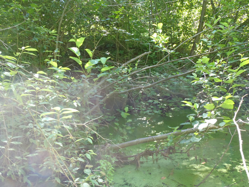
Inlet
Outlet

Upstream Conditions
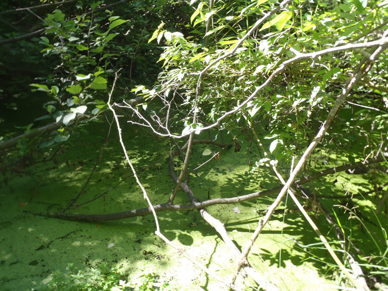
Downstream Conditions
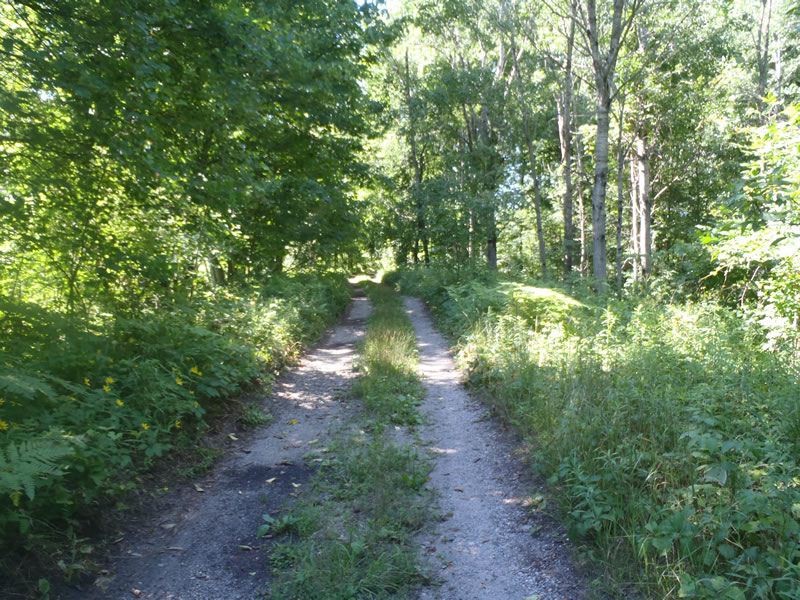
Road Approach - Left
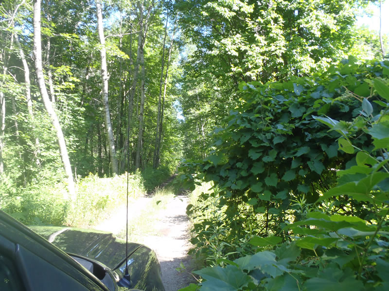
Road Approach - Right
Crossing Information
Type of Crossing: culvert(s)
Number of Structures: 1
Structure Shape: Round
Inlet Type: Projecting
Outlet Type: At Stream Grade
Structure Material: Concrete
Structure Substrate: None
General Conditions: Poor
Structure Interior: smooth
Dimensions of Structure: Length 30 ft.
, Width 3 ft.
, Height 3 ft.
Perch Height: 0.3 ft.
Water Depth: 0 ft.
Embedded Depth of Structure: 0 ft.
Water Velocity*: 0 ft./sec.
Water Depth: 0 ft.
Embedded Depth of Structure: 0 ft.
Water Velocity*: 0 ft./sec.
*Water Velocities were measured at the Surface
(with Meter)
Additional Comments
1) Intermittent stream dry at the time of data collection 2) A permanent pond is present immediately downstream of crossing 3) A Complete data and picture set could not be collected due to unstable tree stands over crossing. Fill depths and perch height was estimated from distance. 4) Culvert is crushed with a hold present under the road. The hole is open to the surface of the road allowing for direct road sediment to enter stream.
Stream Information
Stream Flow: None
Dominant Substrate: Organics
Road Information
Gravel
County Road
(Seasonal)
Road Condition: Poor
Road Width at Culvert: 9 ft.
Location of Low Point: At Stream
Runoff Path: Ditch
Embankments
Upstream
Fill Depth: 5 ft.
Slope: Vertical
Downstream
Fill Depth: 5 ft.
Slope: Vertical
Approaches
Left Approach
Length: 1000 ft.
Slope: 1% to 5%
Vegetation: Heavy
LS Factor: 0.57
Erosion: 1.4132 tons/year
Right Approach
Length: 1000 ft.
Slope: Less Than 1%
Vegetation: Heavy
LS Factor: 0.05
Erosion: 0.124 tons/year
Erosion Information
Total Erosion at Crossing: 1.5372 tons/year
Extent of Erosion: Severe
Notes:
A hole in the road and into the culvert is allowing sediment from the road to erode directly into the culvert.
Summary Information
Erosion is an area of concern for this site.
Poor structural integrity of culvert.
A future visit to this site is recommended.
To obtain a full set of data and pictures.
�