Road Stream Crossing Site BEAR_BC090
Bear Creek Watershed, Cedar Creek
High Bridge Rd (County Road 669)
Maple Grove Twp,
Manistee County
Information collected by:
Site Location
GPS Coordinates: 44.34858
, -86.02062
T23N
R14W
Sec 32
Owned by Private
Structure is NOT Perched
Total Erosion: 1.319 tons/year
Severity: Severe
Year Inventoried: 2011
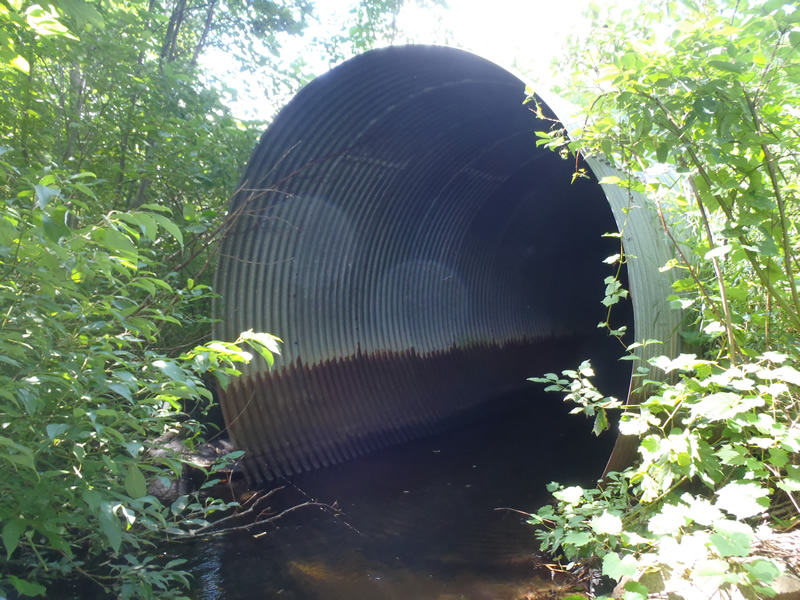
Inlet
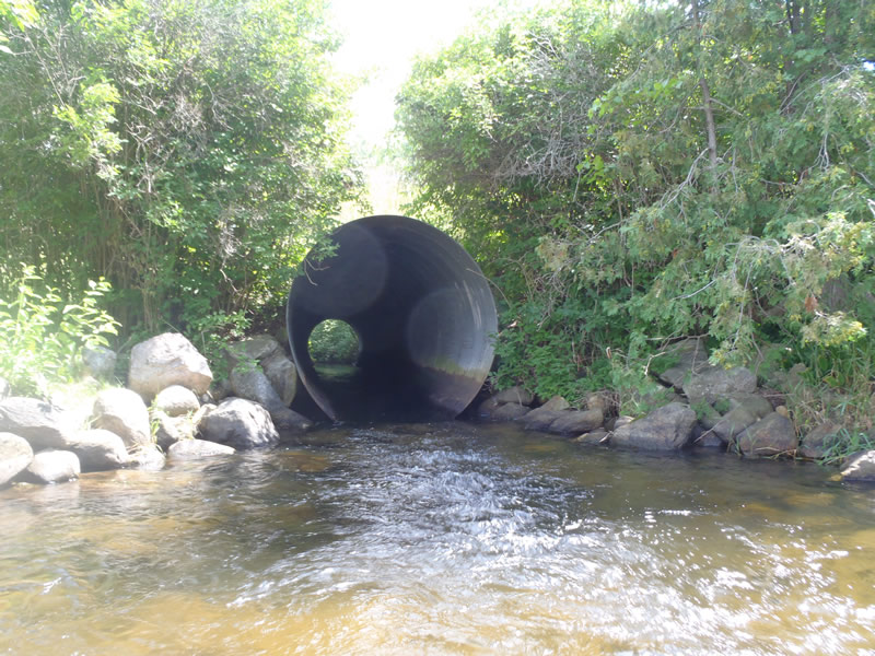
Outlet
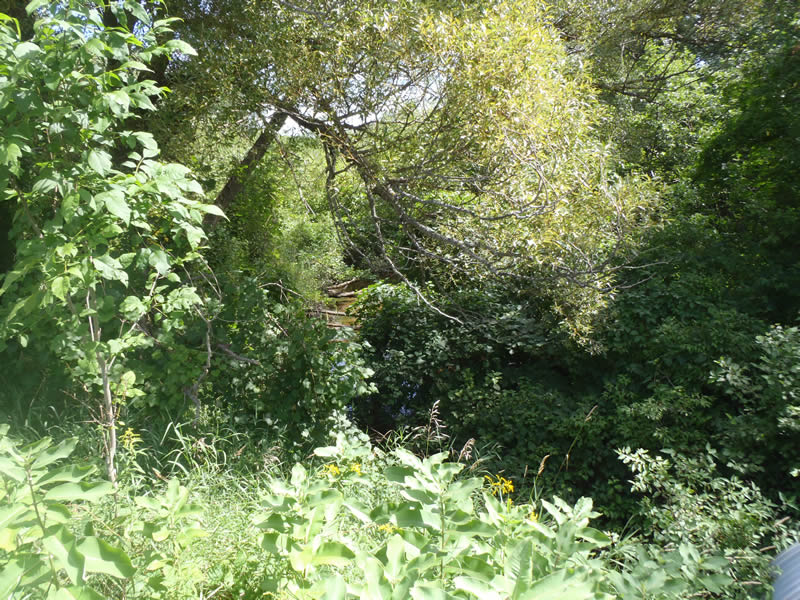
Upstream Conditions
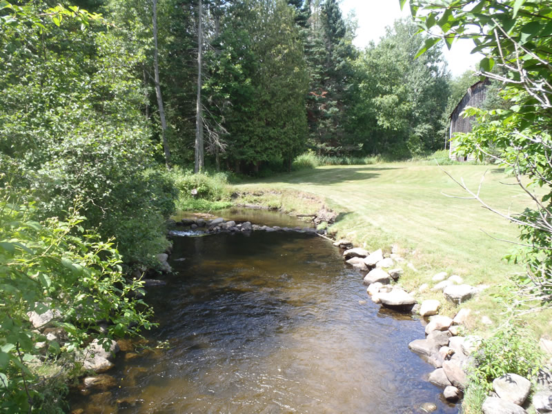
Downstream Conditions
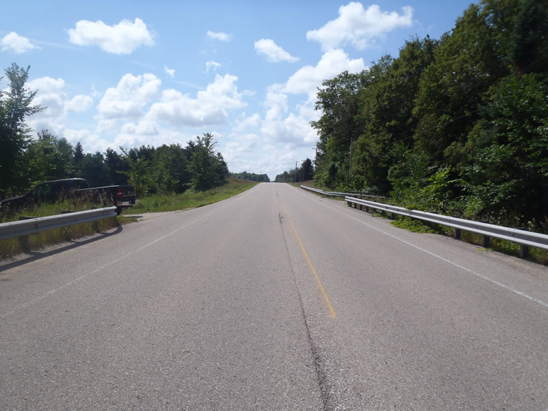
Road Approach - Left
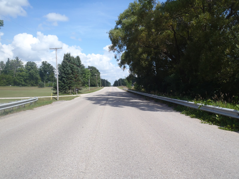
Road Approach - Right
Crossing Information
Type of Crossing: culvert(s)
Number of Structures: 1
Structure Shape: Round
Inlet Type: Projecting
Outlet Type: At Stream Grade
Structure Material: Metal
Structure Substrate: None
General Conditions: Good
Structure Interior: corrugated
Dimensions of Structure: Length 90 ft.
, Width 8 ft.
, Height 8 ft.
Structure is NOT Perched
Structure Inlet
Water Depth: 1.36 ft.
Embedded Depth of Structure: 0 ft.
Water Velocity*: 1.8 ft./sec.
Structure Outlet
Water Depth: 0.63 ft.
Embedded Depth of Structure: 0 ft.
Water Velocity*: 6.3 ft./sec.
*Water Velocities were measured 0.38 ft. below Surface
(with Meter)
Stream Information
Stream Flow: Less than Bankfull
Scour Pool: Length 60 ft.
, Width 15 ft.
, Depth 4 ft.
Riffle Information
Water Depth: 0.81 ft.
Bankfull Width: 16.9 ft.
Wetted Width: 14.7 ft.
Water Velocity: 1.1 ft./sec.
(Measured with Meter)
Dominant Substrate: Sand
Road Information
Paved
County Road
Road Condition: Good
Road Width at Culvert: 35 ft.
Location of Low Point: At Stream
Runoff Path: Roadway
Embankments
Upstream
Fill Depth: 3.5 ft.
Slope: More than 1:2
Downstream
Fill Depth: 4.3 ft.
Slope: More than 1:2
Approaches
Left Approach
Length: 500 ft.
Slope: 1% to 5%
Vegetation: Heavy
LS Factor: 0.57
Erosion: 0.6595 tons/year
Right Approach
Length: 500 ft.
Slope: 1% to 5%
Vegetation: Heavy
LS Factor: 0.57
Erosion: 0.6595 tons/year
Erosion Information
Total Erosion at Crossing: 1.319 tons/year
Extent of Erosion: Minor
Summary Information
Fish Passage is an area of concern for this site.
Water velocity more than doubles in tube.
A future visit to this site is recommended.
To further assess fish passage.
�