Road Stream Crossing Site BEAR_BC091
Bear Creek Watershed, Podunk Creek
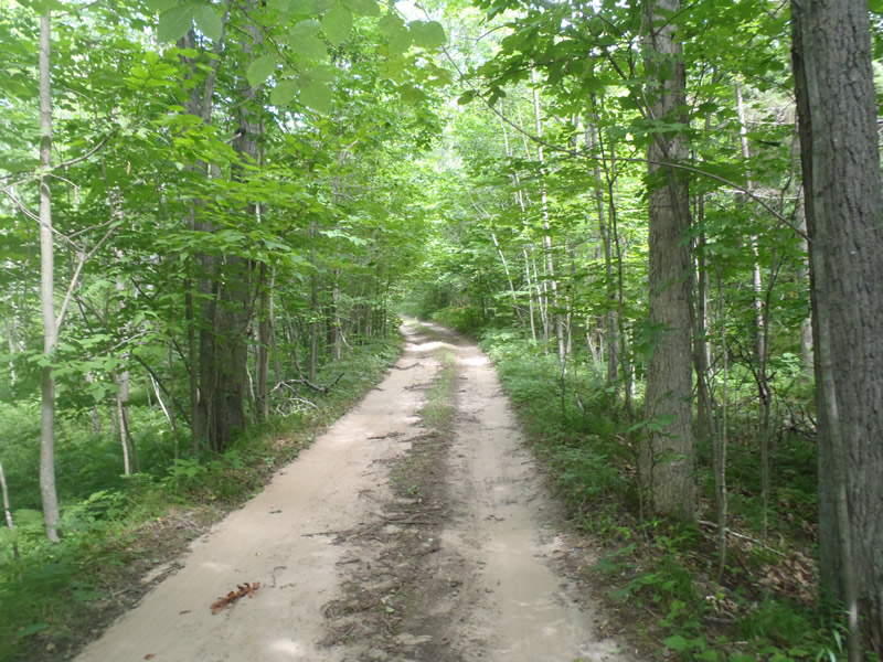
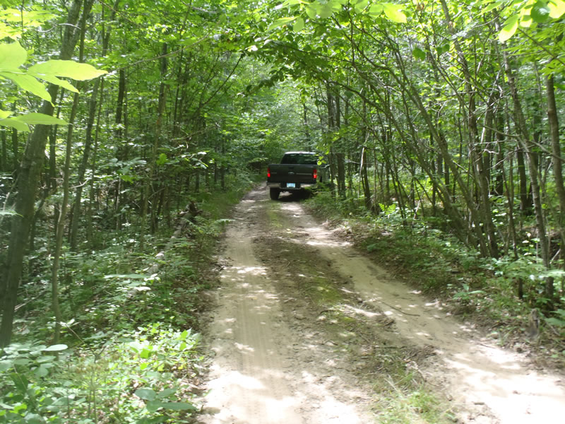
Unimproved two-track west of Pole Rd
Dickson Twp,
Manistee County
Information collected by:
Site Location
GPS Coordinates: 44.3241
, -85.99191
T22N
R14W
Sec 10
Owned by Federal
Fish Passability 0.5
Structure is NOT Perched
Total Erosion: 0.5519 tons/year
Severity: Moderate
Year Inventoried: 2011
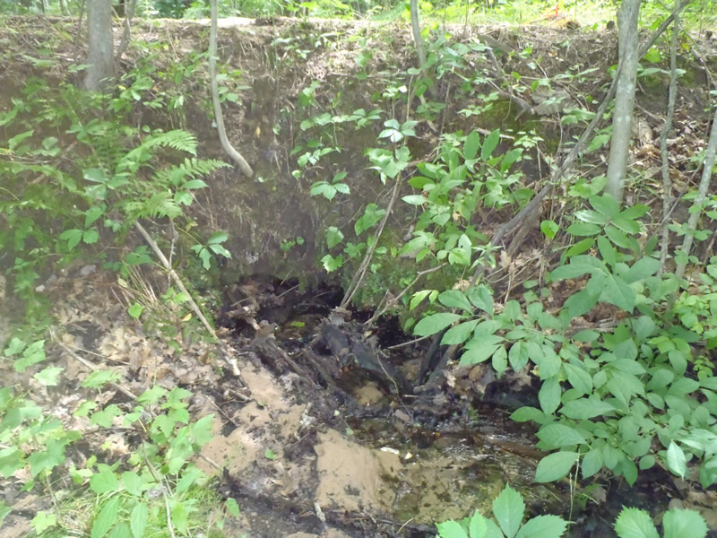
Inlet
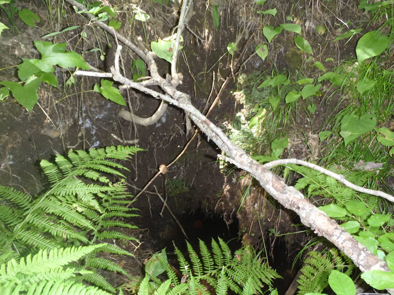
Outlet
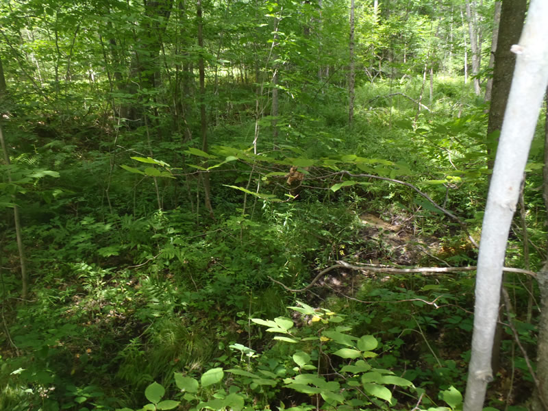
Upstream Conditions
Downstream Conditions
Road Approach - Left
Road Approach - Right
Crossing Information
Type of Crossing: culvert(s)
Number of Structures: 1
Structure Shape: Round
Inlet Type: Projecting
Outlet Type: At Stream Grade
Structure Material: Metal
Structure Substrate: Sand
General Conditions: Poor
Structure Interior: smooth
Structure is Rusted through
Dimensions of Structure: Length 10 ft.
, Width 1 ft.
, Height 1 ft.
Structure is NOT Perched
Structure Inlet
Water Depth: 0.16 ft.
Embedded Depth of Structure: 0 ft.
Water Velocity*: 0.2 ft./sec.
Structure Outlet
Water Depth: 0.7 ft.
Embedded Depth of Structure: 0 ft.
Water Velocity*: 0.05 ft./sec.
*Water Velocities were measured at the Surface
(with Meter)
Stream Information
Stream Flow: Less than 1/2 Bankfull
Riffle Information
Water Depth: 0.16 ft.
Bankfull Width: 5.2 ft.
Wetted Width: 2.16 ft.
Water Velocity: 1.1 ft./sec.
(Measured with Meter)
Dominant Substrate: Sand
Road Information
Sand
County Road
(Seasonal)
Road Condition: Fair
Road Width at Culvert: 8 ft.
Location of Low Point: At Stream
Runoff Path: Ditch
Embankments
Upstream
Fill Depth: 3.6 ft.
Slope: Vertical
Downstream
Fill Depth: 3.5 ft.
Slope: Vertical
Approaches
Left Approach
Length: 468 ft.
Slope: 1% to 5%
Vegetation: Heavy
LS Factor: 0.494
Erosion: 0.5091 tons/year
Right Approach
Length: 333 ft.
Slope: Less Than 1%
Vegetation: Heavy
LS Factor: 0.05
Erosion: 0.0367 tons/year
Erosion Information
Total Erosion at Crossing: 0.5519 tons/year
Extent of Erosion: Minor
Notes: Both embankments lack adequate stabilizing vegetation and are steep
Location of Erosion | Erosion Dimensions | Eroded Material | Material Eroded | Total Erosion | ||
facing downstream | Length | Width | Depth | Reaching Stream? | (tons/year) | |
Right Downstream Embankment |
4 ft. |
4 ft. |
1.6 ft. |
yes |
Sandy Loam |
0.0061 |
Summary Information
Fish Passability 0.5
�