Road Stream Crossing Site BEAR_BC103
Bear Creek Watershed, Little Bear Creek
Chief Rd
Pleasanton Twp,
Manistee County
Information collected by:
Site Location
GPS Coordinates: 44.43755
, -86.10018
T24N
R15W
Sec 34
Owned by Private
Structure is NOT Perched
Total Erosion: 45.0127 tons/year
Severity: Severe
Year Inventoried: 2011
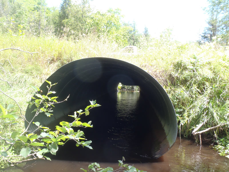
Inlet
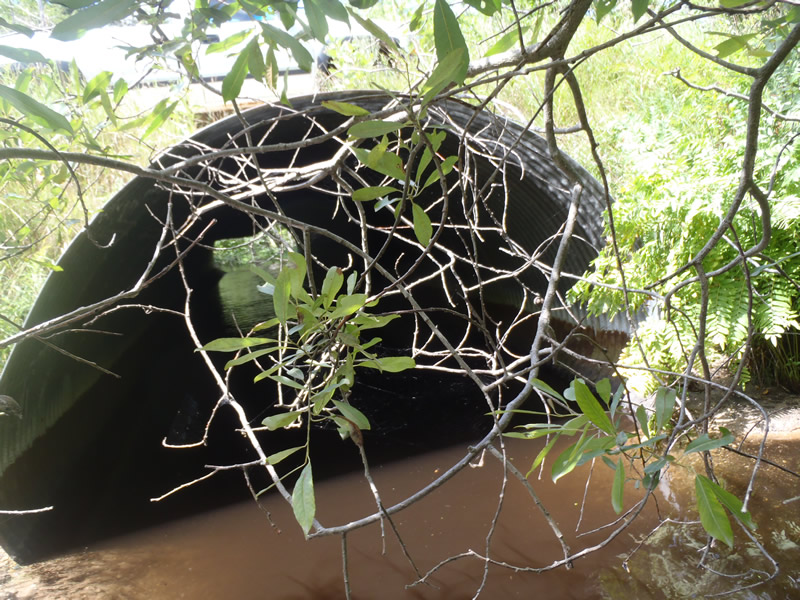
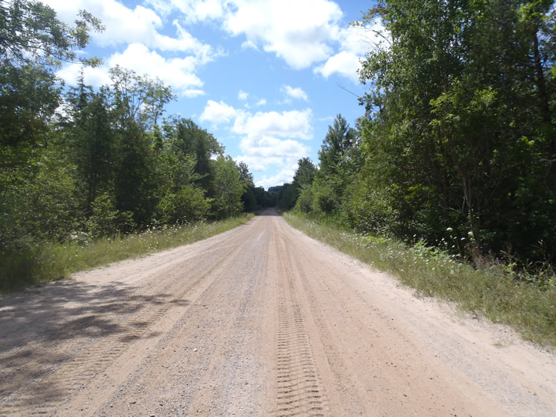
Outlet
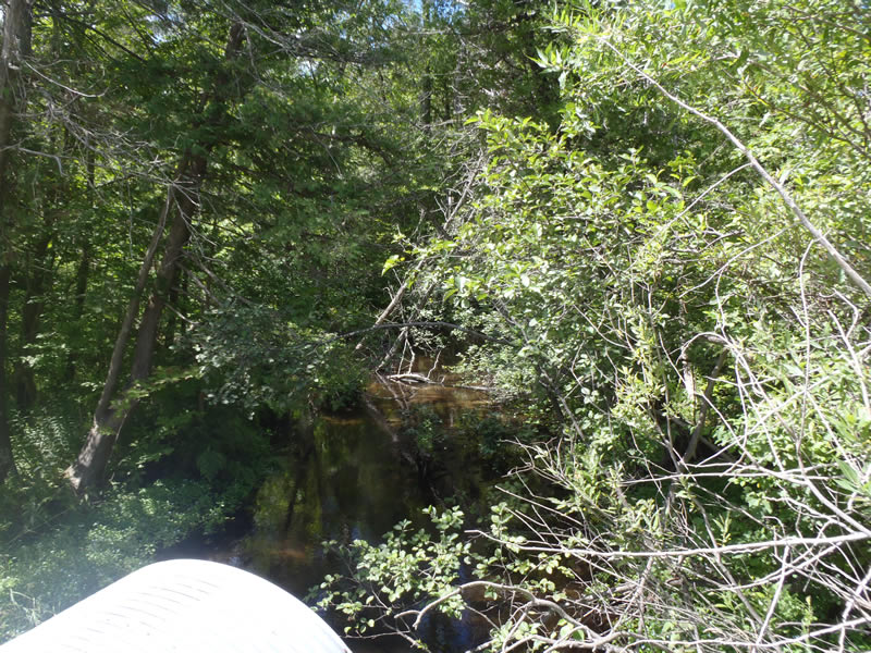
Upstream Conditions
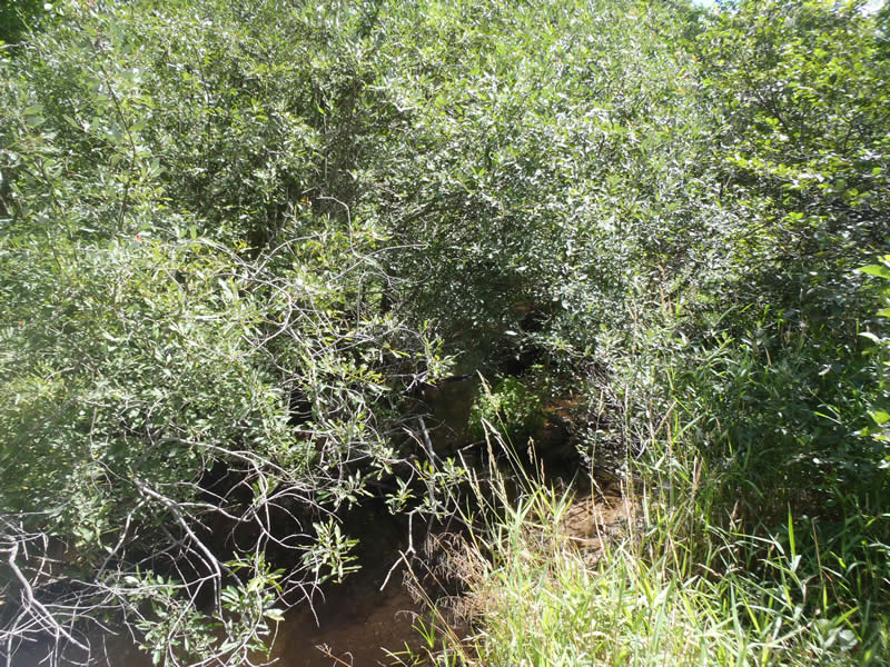
Downstream Conditions
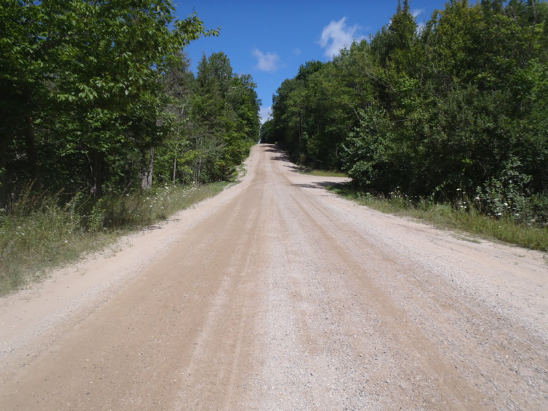
Road Approach - Left
Road Approach - Right
Crossing Information
Type of Crossing: culvert(s)
Number of Structures: 1
Structure Shape: Pipe Arch
Inlet Type: Projecting
Outlet Type: At Stream Grade
Structure Material: Metal
Structure Substrate: None
General Conditions: Fair
Structure Interior: corrugated
Dimensions of Structure: Length 60 ft.
, Width 8 ft.
, Height 6 ft.
Percentage Crushed:
Inlet: 0%
Outlet: 0%
In Pipe: 1% to 25%
Structure is NOT Perched
Structure Inlet
Water Depth: 0.83 ft.
Embedded Depth of Structure: 0 ft.
Water Velocity*: 1.8 ft./sec.
Structure Outlet
Water Depth: 1.43 ft.
Embedded Depth of Structure: 0 ft.
Water Velocity*: 0.7 ft./sec.
*Water Velocities were measured 0.5 ft. below Surface
(with Meter)
Additional Comments
Inlet is 0.97 Feet above stream grade
Stream Information
Stream Flow: Less than Bankfull
Riffle Information
Water Depth: 0.41 ft.
Bankfull Width: 22.2 ft.
Wetted Width: 20.3 ft.
Water Velocity: 0.8 ft./sec.
(Measured with Meter)
Dominant Substrate: Sand
Road Information
Gravel
County Road
Road Condition: Fair
Road Width at Culvert: 28 ft.
Location of Low Point: At Stream
Runoff Path: Roadway
Embankments
Upstream
Fill Depth: 3.2 ft.
Slope: More than 1:2
Downstream
Fill Depth: 2.5 ft.
Slope: More than 1:2
Approaches
Left Approach
Length: 850 ft.
Slope: 1% to 5%
Vegetation: Heavy
LS Factor: 5.785
Erosion: 44.6226 tons/year
Right Approach
Length: 0 ft.
Slope: Less Than 1%
Vegetation: Heavy
LS Factor: 0.05
Erosion: 0.3857 tons/year
Erosion Information
Total Erosion at Crossing: 45.0127 tons/year
Extent of Erosion: Minor
Notes:
Minor embankment erosion due to road runoff and foot traffic.
Location of Erosion | Erosion Dimensions | Eroded Material | Material Eroded | Total Erosion | ||
facing downstream | Length | Width | Depth | Reaching Stream? | (tons/year) | |
Right Downstream Embankment |
4 ft. |
1 ft. |
1 ft. |
yes |
Sand |
0.0044 |
Summary Information
Erosion is an area of concern for this site.
�