Road Stream Crossing Site BEAR_BC112
Bear Creek Watershed, Big Bear Creek
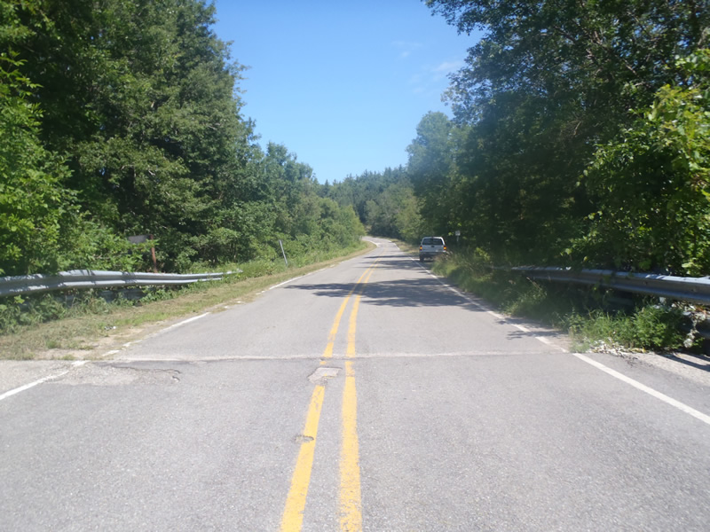
River Rd
Brown Twp,
Manistee County
Information collected by:
Site Location
GPS Coordinates: 44.29238
, -86.11385
T22N
R15W
Sec 22
Owned by Private
Federal
Federal
Fish Passability 1
Structure is NOT Perched
Total Erosion: 0.0547 tons/year
Severity: Minor
Year Inventoried: 2011
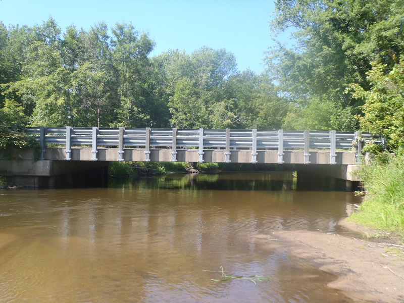
Inlet
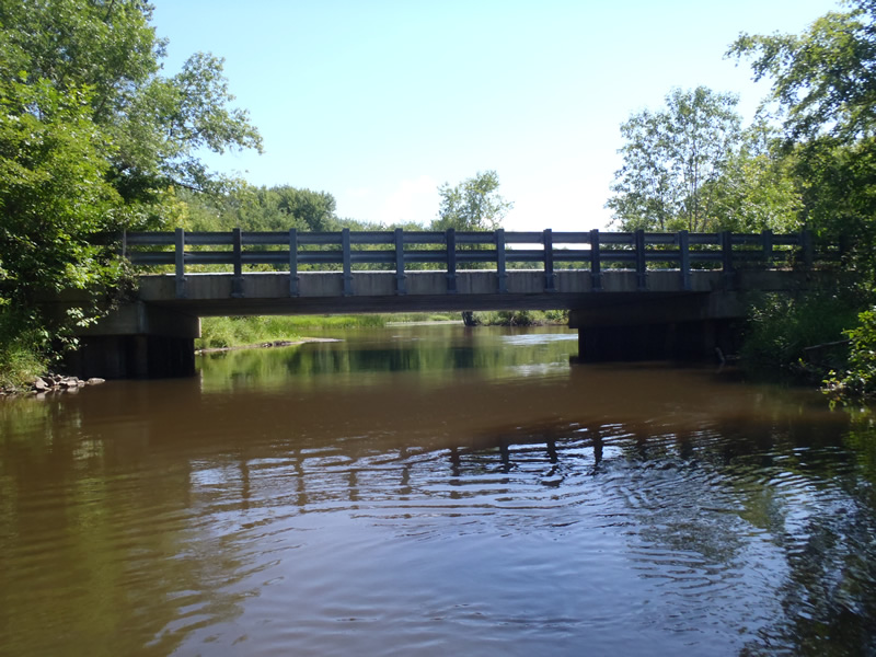
Outlet
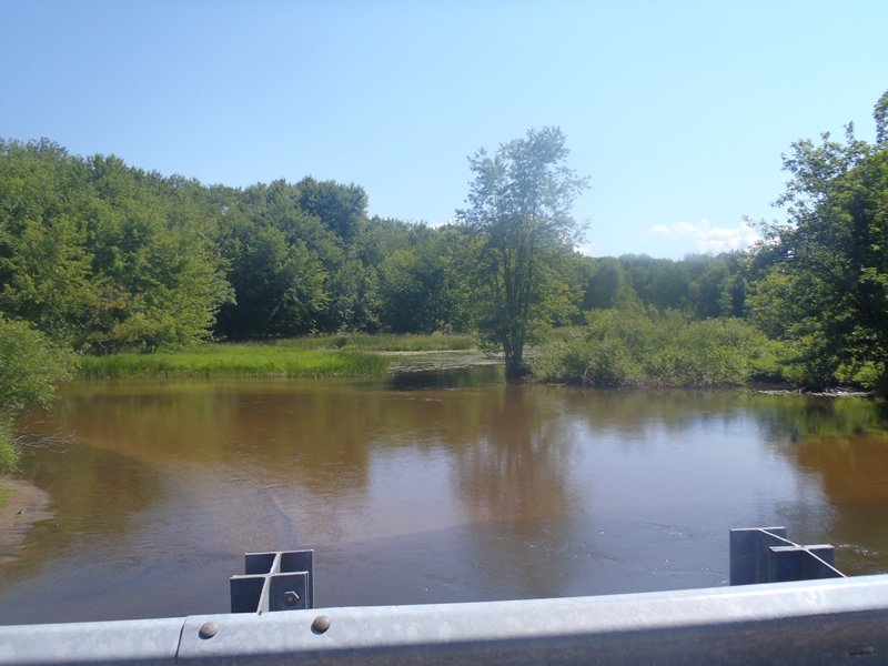
Upstream Conditions
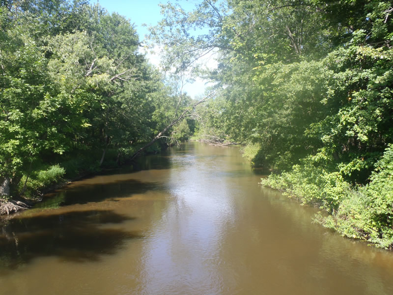
Downstream Conditions
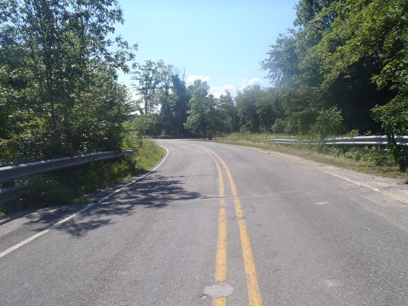
Road Approach - Left
Road Approach - Right
Crossing Information
Type of Crossing: Bridge
Structure Shape: Open Bottom Square/Rectangle
Inlet Type: Headwall
Outlet Type: At Stream Grade
Structure Material: Metal
Structure Substrate: Sand
General Conditions: Good
Structure Interior: corrugated
Dimensions of Structure: Length 33 ft.
, Width 50 ft.
, Height 9 ft.
Structure is NOT Perched
Structure Inlet
Water Depth: 4 ft.
Embedded Depth of Structure: 0 ft.
Water Velocity*: 1.3 ft./sec.
Structure Outlet
Water Depth: 4 ft.
Embedded Depth of Structure: 0 ft.
Water Velocity*: 1.5 ft./sec.
*Water Velocities were measured 2.4 ft. below Surface
(with Meter)
Stream Information
Stream Flow: Less than Bankfull
Riffle Information
Water Depth: 1.5 ft.
Bankfull Width: 72 ft.
Wetted Width: 66 ft.
Water Velocity: 1.3 ft./sec.
(Measured with Meter)
Dominant Substrate: Sand
Road Information
Paved
County Road
Road Condition: Fair
Road Width at Culvert: 30 ft.
Location of Low Point: Other
Runoff Path: Ditch
Fill Depth: 0 ft.
Slope: 1:1
Fill Depth: 0 ft.
Slope: 1:1
Approaches
Left Approach
Length: 438 ft.
Slope: Less Than 1%
Vegetation: Heavy
LS Factor: 0.05
Erosion: 0.0217 tons/year
Right Approach
Length: 666 ft.
Slope: Less Than 1%
Vegetation: Heavy
LS Factor: 0.05
Erosion: 0.033 tons/year
Erosion Information
Total Erosion at Crossing: 0.0547 tons/year
Summary Information
Fish Passability 1
�