Road Stream Crossing Site BSAB_BS35
Big Sable River Watershed, Big Sable River
Yonker Rd
Sheridan Twp,
Mason County
Information collected by:
Site Location
GPS Coordinates: 44.07444
, -86.08633
T19N
R15W
Sec 3
Owned by Federal
Severity: Moderate
Year Inventoried: 2011
Site ID

Contact Point
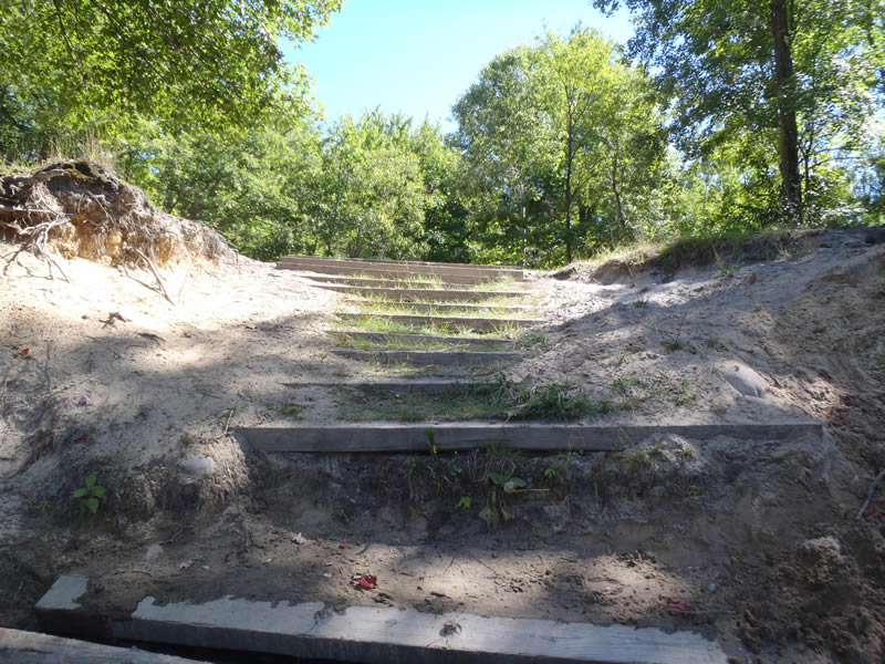
Outlet
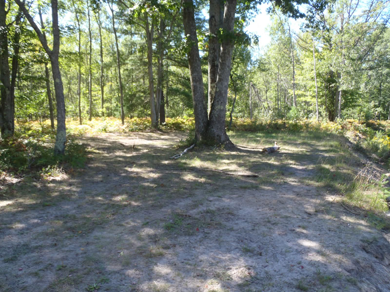
Road Approach - Left
Road Approach - Right
Crossing Information
Type of Crossing: Contact Point
General Conditions: Poor
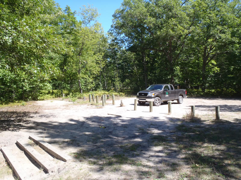
Road Information
Sand
County Road
Road Condition: Fair
Location of Low Point: At Stream
Length: 99 ft.
Slope: 1% to 5%
Vegetation: Partial
Erosion Information
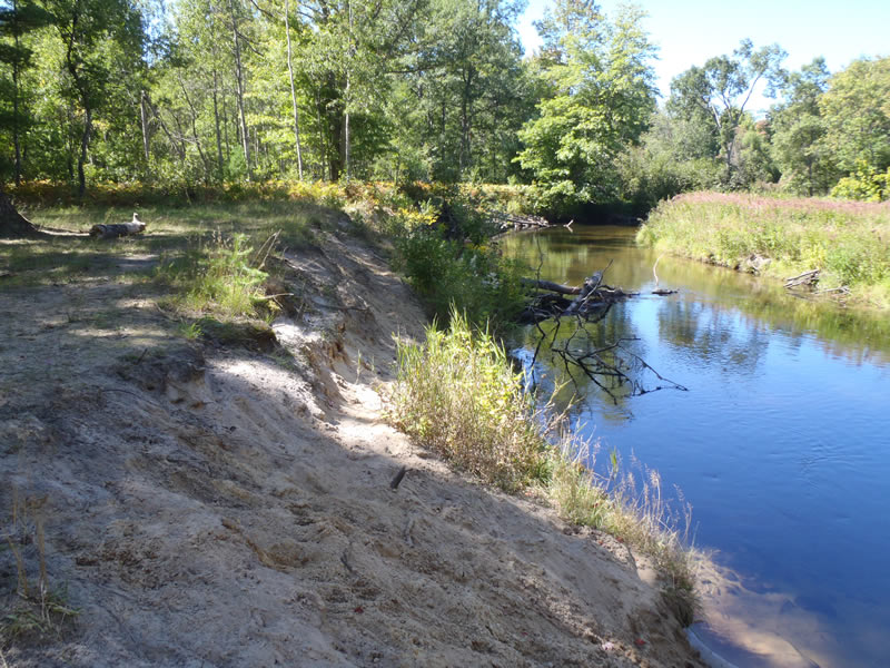
Extent of Erosion: Severe
Notes: Severe streambank erosion is due to lack of vegetation and foot traffic . Eroded sand is visable on the streambed
Summary Information
Erosion is an area of concern for this site.
A future visit to this site is recommended. to further assess erosion factors and determine stabilization measures
�