Road Stream Crossing Site BSAB_BS34
Big Sable River Watershed, Muckwa Creek
NF-5023
Meade Twp,
Mason County
Information collected by:
Site Location
GPS Coordinates: 44.08903
, -86.04941
T20N
R15W
Sec 36
Owned by Federal
Fish Passability 1
Structure is NOT Perched
Total Erosion: 1.7414 tons/year
Severity: Moderate
Year Inventoried: 2011
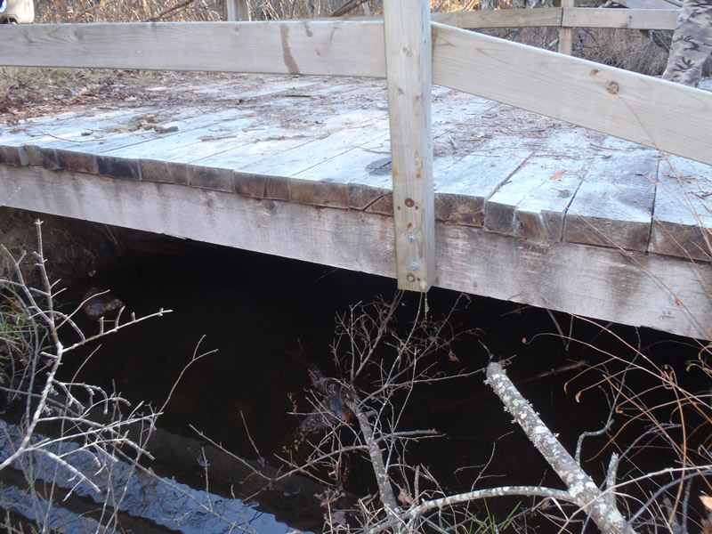
Inlet
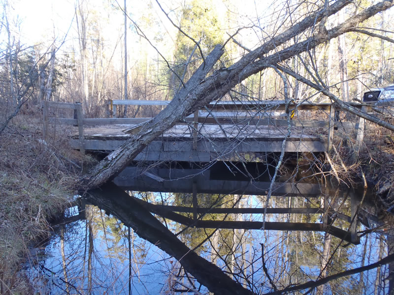
Outlet
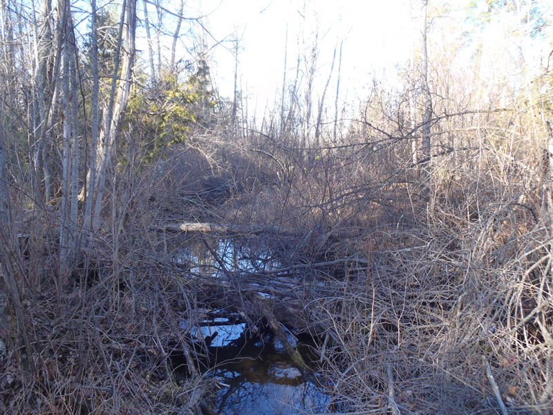
Upstream Conditions
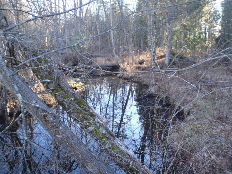
Downstream Conditions
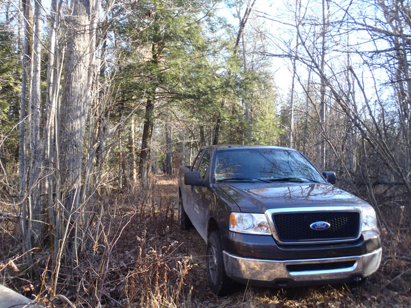
Road Approach - Left
Road Approach - Right
Crossing Information
Type of Crossing: Bridge
Structure Shape: Open Bottom Square/Rectangle
Inlet Type: Other
Outlet Type: At Stream Grade
Structure Material: Wood
Structure Substrate: Sand
General Conditions: Poor
Structure Interior: smooth
Dimensions of Structure: Length 11 ft.
, Width 20 ft.
, Height 3 ft.
Structure is NOT Perched
Structure Inlet
Water Depth: 1.12 ft.
Embedded Depth of Structure: 0.05 ft.
Water Velocity*: 0.05 ft./sec.
Structure Outlet
Water Depth: 4 ft.
Embedded Depth of Structure: 0.05 ft.
Water Velocity*: 0.05 ft./sec.
*Water Velocities were measured 0.67 ft. below Surface
(with Meter)
Stream Information
Stream Flow: Less than Bankfull
Riffle Information
Water Depth: 0.6 ft.
Bankfull Width: 26.7 ft.
Wetted Width: 22.3 ft.
Water Velocity: 0.5 ft./sec.
(Measured with Meter)
Dominant Substrate: Gravel
Road Information
Native Surface
State Road
(Seasonal)
Road Condition: Fair
Road Width at Culvert: 11 ft.
Location of Low Point: At Stream
Runoff Path: Ditch
Fill Depth: 0 ft.
Slope: 1:1
Fill Depth: 0 ft.
Slope: 1:1
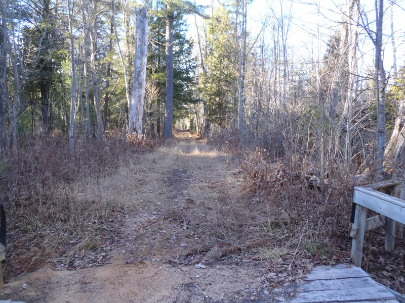
Approaches
Left Approach
Length: 50 ft.
Slope: Less Than 1%
Vegetation: Heavy
LS Factor: 0.05
Erosion: 0.0076 tons/year
Right Approach
Length: 1000 ft.
Slope: 1% to 5%
Vegetation: Heavy
LS Factor: 0.57
Erosion: 1.7273 tons/year
Erosion Information
Total Erosion at Crossing: 1.7414 tons/year
Extent of Erosion: Minor
Erosion is occurring and corrective actions can be installed to address the problem.
Notes: Minor embankment erosion
Location of Erosion | Erosion Dimensions | Eroded Material | Material Eroded | Total Erosion | ||
facing downstream | Length | Width | Depth | Reaching Stream? | (tons/year) | |
Right Downstream Embankment |
4 ft. |
2 ft. |
1.5 ft. |
yes |
Sand |
0.0066 |
Summary Information
Fish Passability 1
�