Road Stream Crossing Site BSAB_BS73
Big Sable River Watershed, Tributary of Big Sable River
La Salle
Grant Twp,
Mason County
Information collected by:
Site Location
GPS Coordinates: 44.10175
, -86.30038
T20N
R17W
Sec 25
Owned by Private
Fish Passability 0.5
Structure is NOT Perched
Total Erosion: 5.5121 tons/year
Severity: Severe
Year Inventoried: 2011
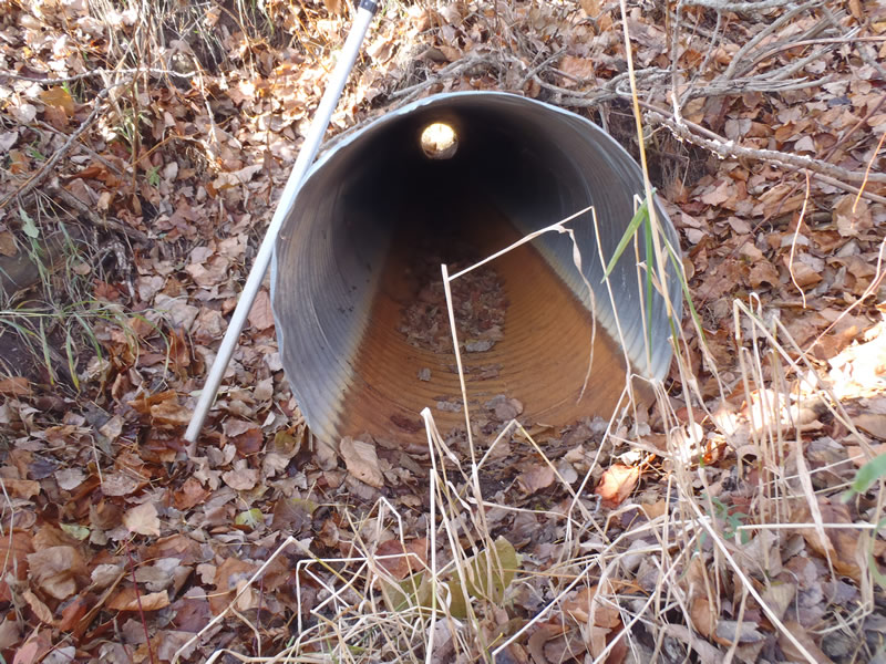
Inlet
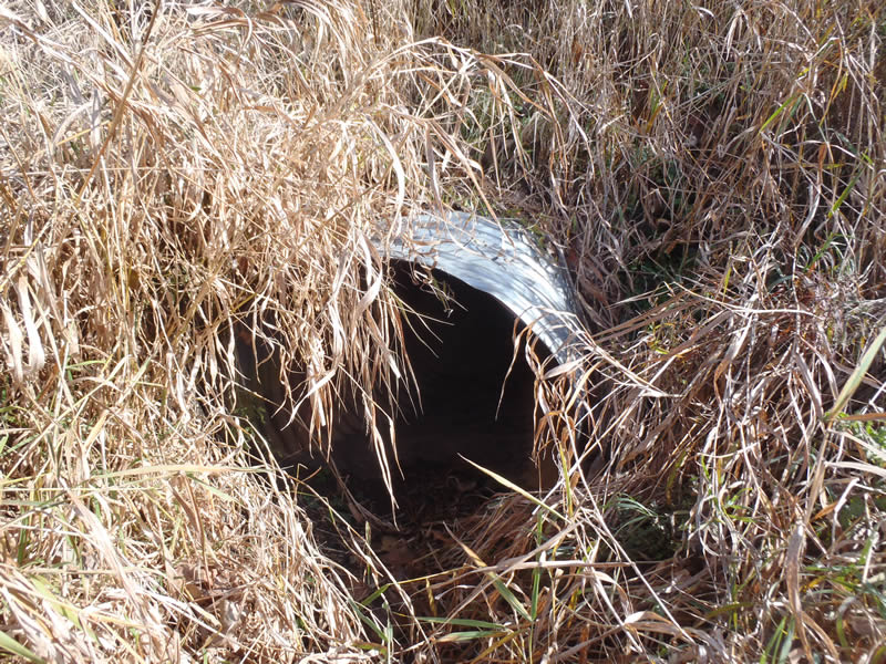
Outlet
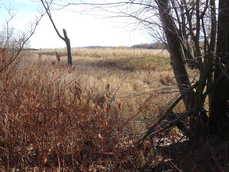
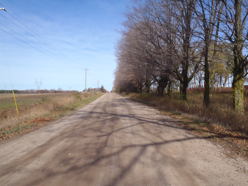
Upstream Conditions
Downstream Conditions
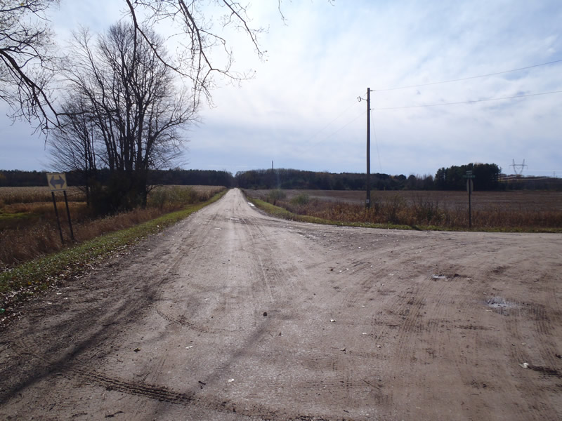
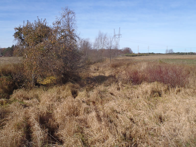
Road Approach - Left
Road Approach - Right
Crossing Information
Type of Crossing: culvert(s)
Number of Structures: 1
Structure Shape: Round
Inlet Type: Projecting
Outlet Type: At Stream Grade
Structure Material: Metal
Structure Substrate: None
General Conditions: Good
Structure Interior: corrugated
Dimensions of Structure: Length 60 ft.
, Width 3 ft.
, Height 3 ft.
Structure is NOT Perched
Water Depth: 0 ft.
Embedded Depth of Structure: 0 ft.
Water Velocity*: 0 ft./sec.
Water Depth: 0 ft.
Embedded Depth of Structure: 0 ft.
Water Velocity*: 0 ft./sec.
*Water Velocities were measured at the Surface
(with Meter)
Additional Comments
Intermittent stream dry at the time of data collection
Stream Information
Stream Flow: None
Riffle Information
Water Depth: 0 ft.
Bankfull Width: 4 ft.
Wetted Width: 0 ft.
Water Velocity: 0 ft./sec.
(Measured with Meter)
Dominant Substrate: Sand
Road Information
Gravel
County Road
Road Condition: Fair
Road Width at Culvert: 34 ft.
Location of Low Point: Other
Runoff Path: Ditch
Embankments
Upstream
Fill Depth: 5.1 ft.
Slope: Vertical
Downstream
Fill Depth: 5.3 ft.
Slope: 1:1
Approaches
Left Approach
Length: 333 ft.
Slope: Less Than 1%
Vegetation: Partial
LS Factor: 0.05
Erosion: 0.156 tons/year
Right Approach
Length: 1000 ft.
Slope: 1% to 5%
Vegetation: Heavy
LS Factor: 0.57
Erosion: 5.3388 tons/year
Erosion Information
Total Erosion at Crossing: 5.5121 tons/year
Extent of Erosion: Minor
Erosion is occurring and corrective actions can be installed to address the problem.
Notes: Minor embankment erosion due to lack of stabilizing vegetation and road runoff
Location of Erosion | Erosion Dimensions | Eroded Material | Material Eroded | Total Erosion | ||
facing downstream | Length | Width | Depth | Reaching Stream? | (tons/year) | |
Right Downstream Embankment |
12 ft. |
4 ft. |
1.5 ft. |
yes |
Sandy Loam |
0.0173 |
Summary Information
Fish Passability 0.5
�