Road Stream Crossing Site BSAB_BS74
Big Sable River Watershed, Freeman Creek
Freeman Rd
Grant Twp,
Mason County
Information collected by:
Site Location
GPS Coordinates: 44.09542
, -86.30811
T20N
R17W
Sec 26
Owned by Private
Structure is NOT Perched
Total Erosion: 21.1223 tons/year
Severity: Severe
Year Inventoried: 2011
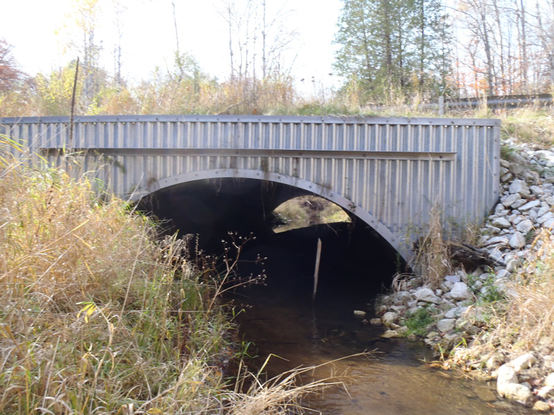
Inlet
Outlet
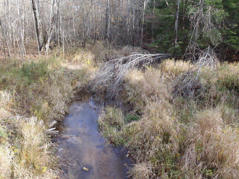
Upstream Conditions
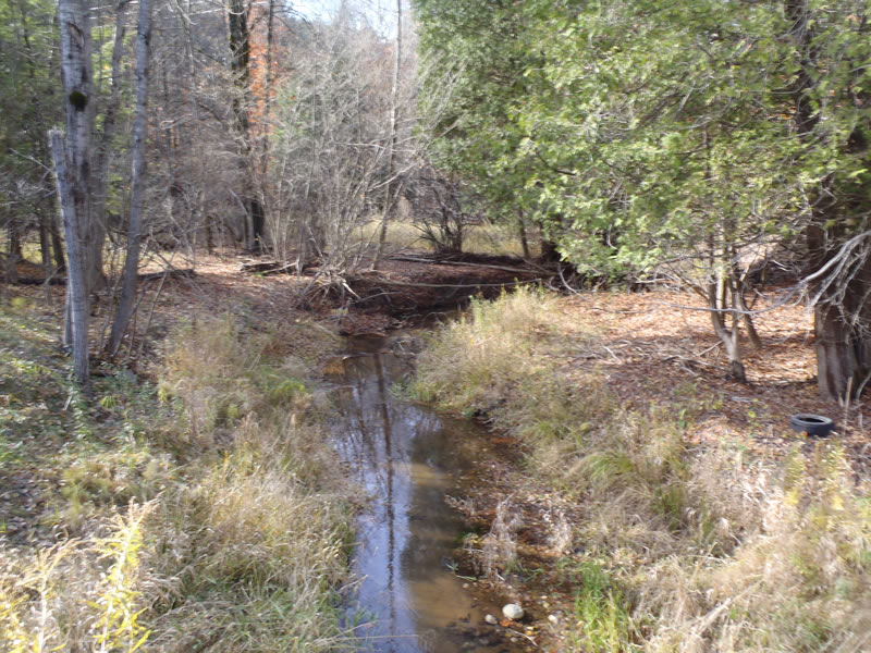
Downstream Conditions
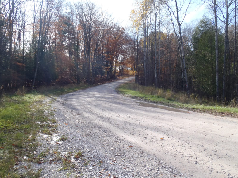
Road Approach - Left
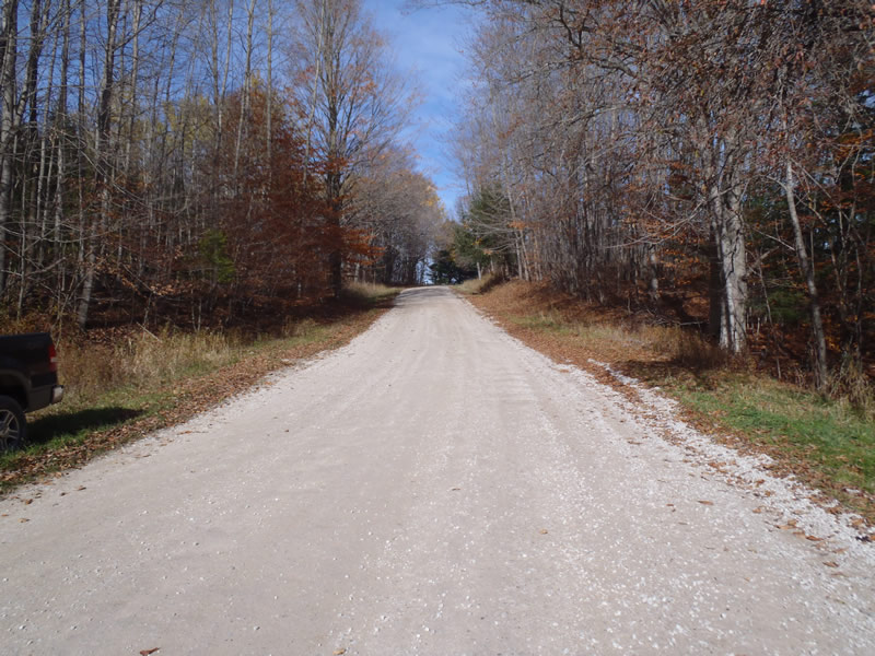
Road Approach - Right
Crossing Information
Type of Crossing: culvert(s)
Number of Structures: 1
Structure Shape: Open Bottom Arch
Inlet Type: Headwall
Outlet Type: At Stream Grade
Structure Material: Metal
Structure Substrate: Sand
General Conditions: Good
Structure Interior: corrugated
Dimensions of Structure: Length 80 ft.
, Width 18 ft.
, Height 6 ft.
Structure is NOT Perched
Structure Inlet
Water Depth: 0.74 ft.
Embedded Depth of Structure: 0 ft.
Water Velocity*: 0.3 ft./sec.
Structure Outlet
Water Depth: 0.26 ft.
Embedded Depth of Structure: 0 ft.
Water Velocity*: 0.7 ft./sec.
*Water Velocities were measured 0.16 ft. below Surface
(with Meter)
Stream Information
Stream Flow: Less than Bankfull
Riffle Information
Water Depth: 0.23 ft.
Bankfull Width: 14.9 ft.
Wetted Width: 12.7 ft.
Water Velocity: 1 ft./sec.
(Measured with Meter)
Dominant Substrate: Clay
Road Information
Gravel
County Road
Road Condition: Fair
Road Width at Culvert: 33 ft.
Location of Low Point: At Stream
Runoff Path: Ditch
Embankments
Upstream
Fill Depth: 3.2 ft.
Slope: 1:1.5
Downstream
Fill Depth: 3.3 ft.
Slope: 1:1
Approaches
Left Approach
Length: 681 ft.
Slope: 6% to 10%
Vegetation: Heavy
LS Factor: 1.809
Erosion: 11.1984 tons/year
Right Approach
Length: 621 ft.
Slope: 6% to 10%
Vegetation: Heavy
LS Factor: 1.758
Erosion: 9.9239 tons/year
Erosion Information
Total Erosion at Crossing: 21.1223 tons/year
Extent of Erosion: Moderate
Summary Information
Erosion is an area of concern for this site.
�