Road Stream Crossing Site BSAB_BS80
Big Sable River Watershed, Big Sable River
Quarter Line Rd
Grant Twp,
Mason County
Information collected by:
Site Location
GPS Coordinates: 44.10279
, -86.33044
T20N
R17W
Sec 27
Owned by Federal
Structure is NOT Perched
Total Erosion: 2.5983 tons/year
Severity: Restored
Year Inventoried: 2011
Inlet
Outlet
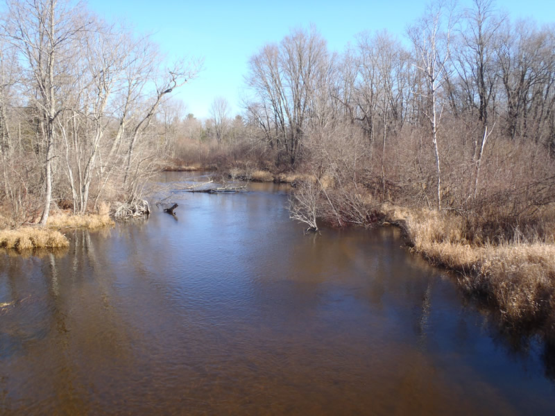
Upstream Conditions
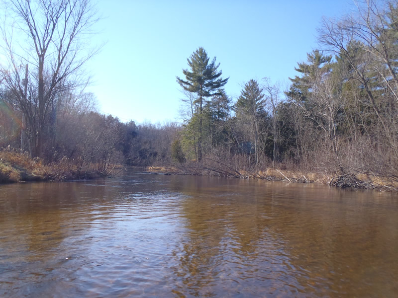
Downstream Conditions
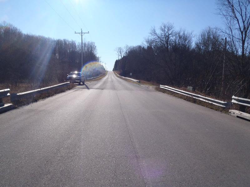
Road Approach - Left
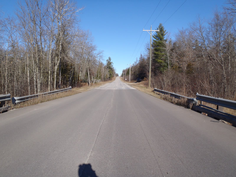
Road Approach - Right
Crossing Information
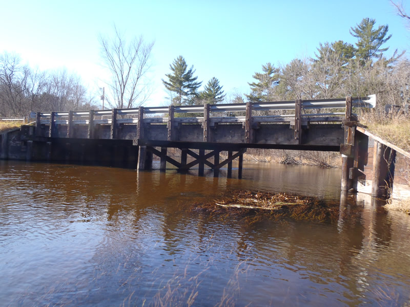
Type of Crossing: Bridge
Structure Shape: Open Bottom Square/Rectangle
Inlet Type: Wingwall 30-70 Degree
Outlet Type: At Stream Grade
Structure Material: Wood
Structure Substrate: Sand
General Conditions: Good
Structure Interior: corrugated
Dimensions of Structure: Length 32 ft.
, Width 64 ft.
, Height 6.5 ft.
Structure is NOT Perched
Structure Inlet
Water Depth: 2.15 ft.
Embedded Depth of Structure: 0 ft.
Water Velocity*: 1.9 ft./sec.
Structure Outlet
Water Depth: 1.89 ft.
Embedded Depth of Structure: 0 ft.
Water Velocity*: 1.4 ft./sec.
*Water Velocities were measured 1.14 ft. below Surface
(with Meter)
Stream Information
Stream Flow: Less than Bankfull
Riffle Information
Water Depth: 2.7 ft.
Bankfull Width: 60 ft.
Wetted Width: 50 ft.
Water Velocity: 1.8 ft./sec.
(Measured with Meter)
Dominant Substrate: Sand
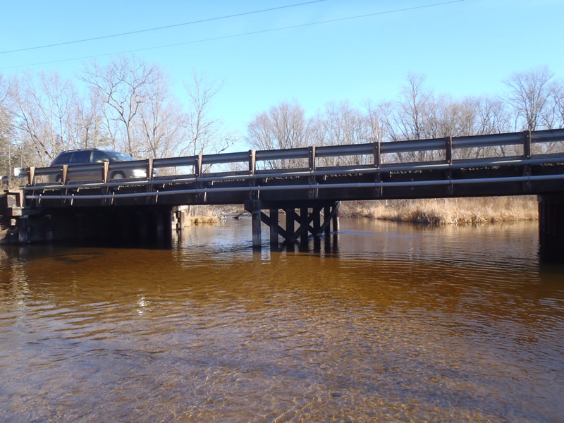
Road Information
Paved
County Road
Road Condition: Fair
Road Width at Culvert: 30 ft.
Location of Low Point: Other
Runoff Path: Ditch
Fill Depth: 0 ft.
Slope: 1:1
Fill Depth: 0 ft.
Slope: 1:1
Approaches
Left Approach
Length: 1000 ft.
Slope: 1% to 5%
Vegetation: Heavy
LS Factor: 0.57
Erosion: 0.5653 tons/year
Right Approach
Length: 1000 ft.
Slope: 6% to 10%
Vegetation: Heavy
LS Factor: 2.05
Erosion: 2.0331 tons/year
Erosion Information
Total Erosion at Crossing: 2.5983 tons/year
Extent of Erosion: Moderate
Summary Information
Erosion is an area of concern for this site.
These non-native species were observerd at this site: Knapweed
�