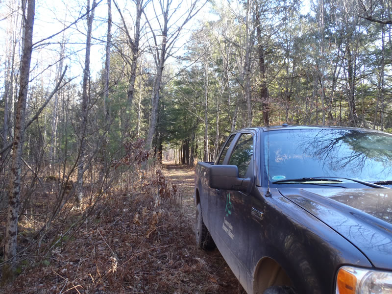
Road Stream Crossing Site BSAB_BS22
Big Sable River Watershed, Tributary of Muckwa Creek
NF-5023
Elk Twp,
Lake County
Information collected by:
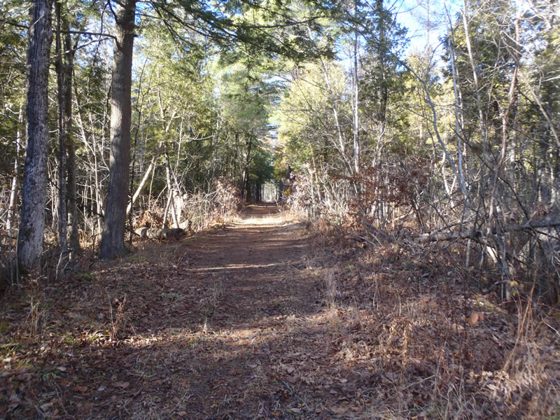
Site Location
GPS Coordinates: 44.08258
, -86.03701
T20N
R14W
Sec 31
Owned by Federal
Fish Passability 1
Structure is NOT Perched
Total Erosion: 0.2709 tons/year
Severity: Minor
Year Inventoried: 2011
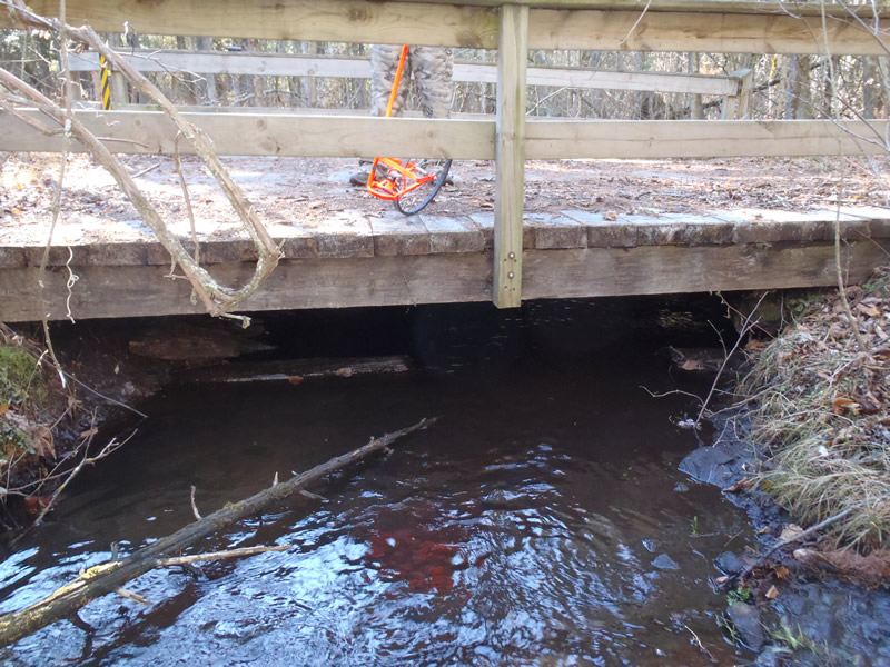
Inlet
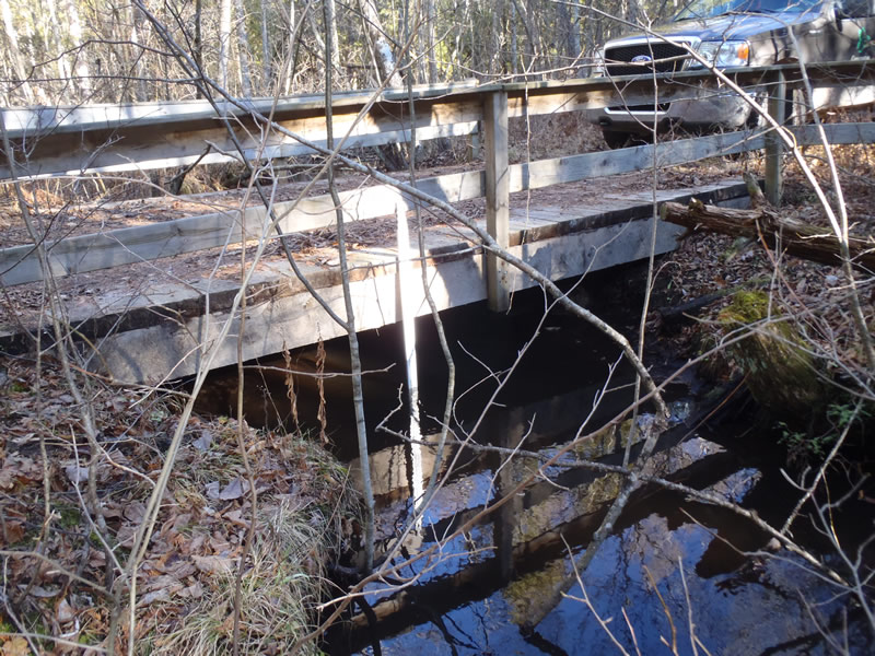
Outlet
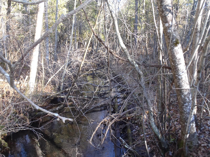
Upstream Conditions
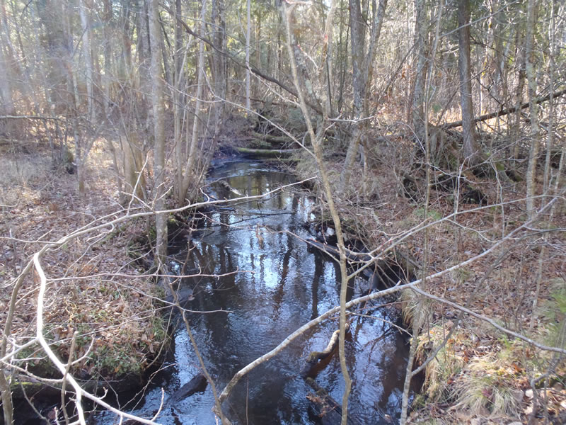
Downstream Conditions
Road Approach - Left
Road Approach - Right
Crossing Information
Type of Crossing: Bridge
Structure Shape: Open Bottom Square/Rectangle
Inlet Type: Other
Outlet Type: At Stream Grade
Structure Material: Wood
Structure Substrate: Sand
General Conditions: Good
Structure Interior: smooth
Dimensions of Structure: Length 13 ft.
, Width 17 ft.
, Height 2 ft.
Structure is NOT Perched
Structure Inlet
Water Depth: 0.59 ft.
Embedded Depth of Structure: 0 ft.
Water Velocity*: 0.6 ft./sec.
Structure Outlet
Water Depth: 0.94 ft.
Embedded Depth of Structure: 0 ft.
Water Velocity*: 0.3 ft./sec.
*Water Velocities were measured 0.36 ft. below Surface
(with Meter)
Stream Information
Stream Flow: Less than Bankfull
Riffle Information
Water Depth: 0.37 ft.
Bankfull Width: 11.4 ft.
Wetted Width: 9.9 ft.
Water Velocity: 0.4 ft./sec.
(Measured with Meter)
Dominant Substrate: Sand
Road Information
Native Surface
State Road
Road Condition: Good
Road Width at Culvert: 13 ft.
Location of Low Point: At Stream
Runoff Path: Ditch
Fill Depth: 0 ft.
Slope: More than 1:2
Fill Depth: 0 ft.
Slope: More than 1:2
Approaches
Left Approach
Length: 1000 ft.
Slope: Less Than 1%
Vegetation: Heavy
LS Factor: 0.05
Erosion: 0.1791 tons/year
Right Approach
Length: 513 ft.
Slope: Less Than 1%
Vegetation: Heavy
LS Factor: 0.05
Erosion: 0.0919 tons/year
Erosion Information
Total Erosion at Crossing: 0.2709 tons/year
Summary Information
Fish Passability 1
�