Road Stream Crossing Site BSAB_BS04
Big Sable River Watershed, Tributary of Big Sable River
Kragness Rd
Sauble Twp,
Lake County
Information collected by:
Site Location
GPS Coordinates: 44.03525
, -85.97981
T19N
R14W
Sec 16
Owned by Private
Structure is NOT Perched
Total Erosion: 0.9518 tons/year
Severity: Moderate
Year Inventoried: 2011
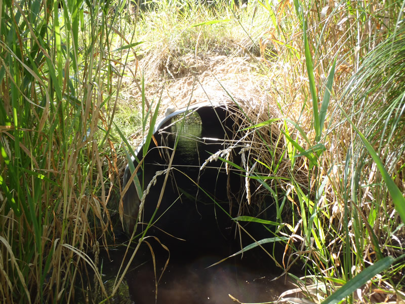
Inlet
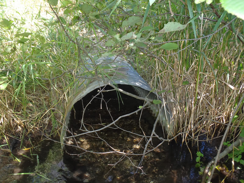
Outlet
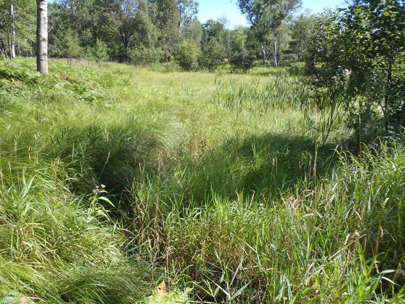
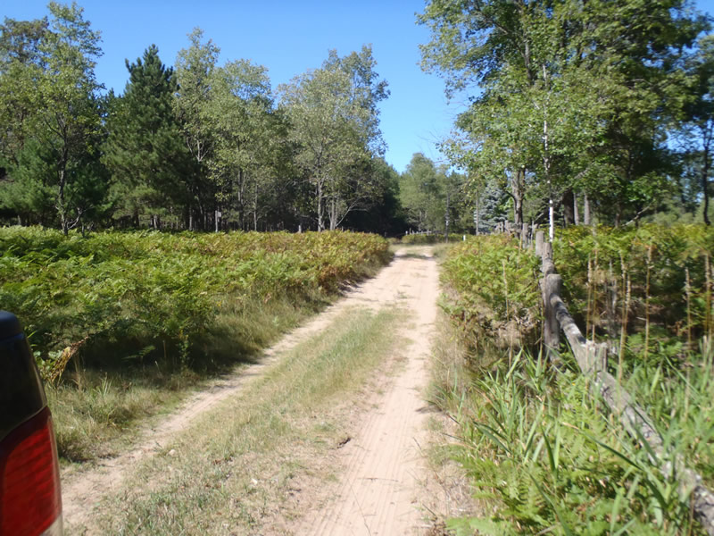
Upstream Conditions
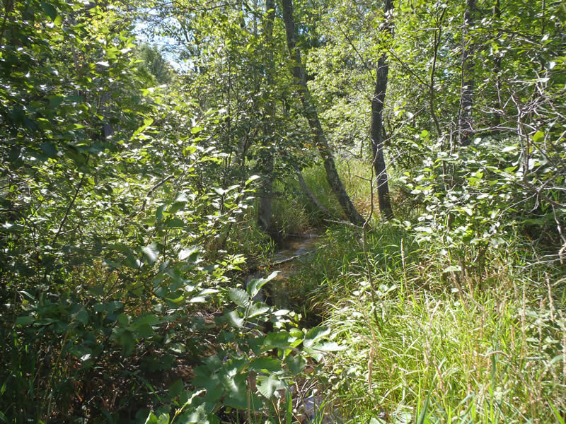
Downstream Conditions
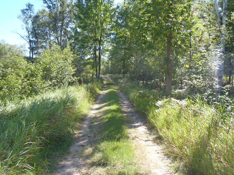
Road Approach - Left
Road Approach - Right
Crossing Information
Type of Crossing: culvert(s)
Number of Structures: 1
Structure Shape: Round
Inlet Type: Projecting
Outlet Type: At Stream Grade
Structure Material: Metal
Structure Substrate: Gravel
General Conditions: Good
Structure Interior: corrugated
Dimensions of Structure: Length 30 ft.
, Width 2.5 ft.
, Height 2.5 ft.
Structure is NOT Perched
Structure Inlet
Water Depth: 0.6 ft.
Embedded Depth of Structure: 0.2 ft.
Water Velocity*: 1 ft./sec.
Structure Outlet
Water Depth: 0.5 ft.
Embedded Depth of Structure: 0.5 ft.
Water Velocity*: 0.7 ft./sec.
*Water Velocities were measured 0.3 ft. below Surface
(with Meter)
Stream Information
Stream Flow: Less than Bankfull
Riffle Information
Water Depth: 0.38 ft.
Bankfull Width: 6.1 ft.
Wetted Width: 3.4 ft.
Water Velocity: 0.9 ft./sec.
(Measured with Meter)
Dominant Substrate: Sand
Road Information
Sand
County Road
(Seasonal)
Road Condition: Good
Road Width at Culvert: 10 ft.
Location of Low Point: At Stream
Runoff Path: Ditch
Embankments
Upstream
Fill Depth: 2 ft.
Slope: Vertical
Downstream
Fill Depth: 2.3 ft.
Slope: 1:1
Approaches
Left Approach
Length: 627 ft.
Slope: 1% to 5%
Vegetation: Heavy
LS Factor: 0.524
Erosion: 0.9052 tons/year
Right Approach
Length: 195 ft.
Slope: Less Than 1%
Vegetation: Heavy
LS Factor: 0.05
Erosion: 0.0269 tons/year
Erosion Information
Total Erosion at Crossing: 0.9518 tons/year
Extent of Erosion: Minor
Erosion is occurring and corrective actions can be installed to address the problem.
Notes:
Minor embankment erosion due to lack of stabilizing vegetation and road runoff.
Location of Erosion | Erosion Dimensions | Eroded Material | Material Eroded | Total Erosion | ||
facing downstream | Length | Width | Depth | Reaching Stream? | (tons/year) | |
Right Upstream Embankment |
6 ft. |
1.5 ft. |
1 ft. |
yes |
Sand |
0.0066 |
Left Upstream Embankment |
5 ft. |
3 ft. |
0.3 ft. |
yes |
Sand |
0.0017 |
Left Downstream Embankment |
8 ft. |
2.5 ft. |
1.5 ft. |
yes |
Sandy Loam |
0.0115 |
Summary Information
Erosion is an area of concern for this site.
These non-native species were observerd at this site: Knapweed
�