Road Stream Crossing Site BSAB_BS14
Big Sable River Watershed, Tributary of Rimkus Creek
6 Mile Rd
Sauble Twp,
Lake County
Information collected by:
Site Location
GPS Coordinates: 44.07563
, -85.94756
T19N
R14W
Sec 2
Owned by Private
Fish Passability 0.5
Structure is NOT Perched
Total Erosion: 5.2271 tons/year
Severity: Severe
Year Inventoried: 2011
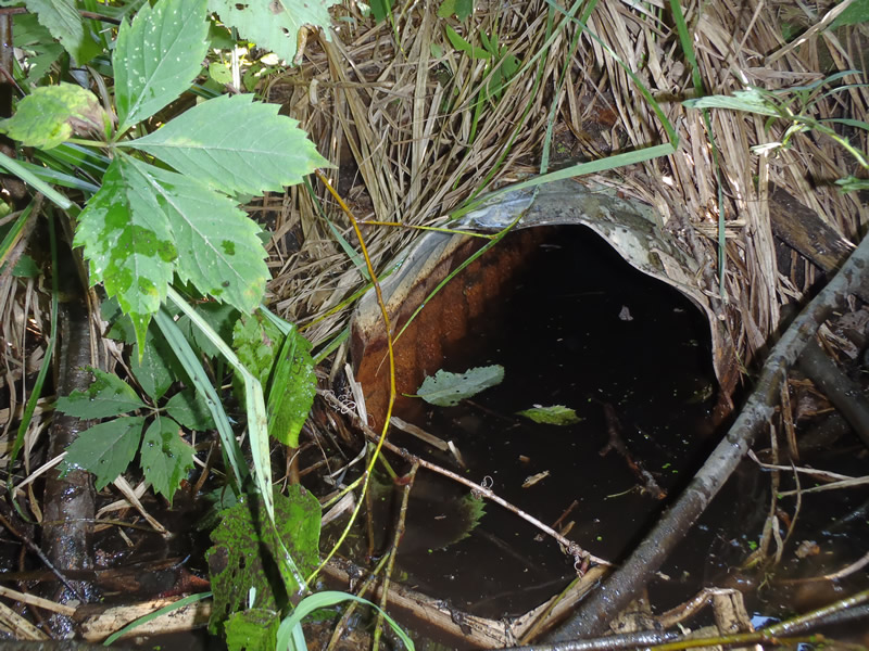
Inlet
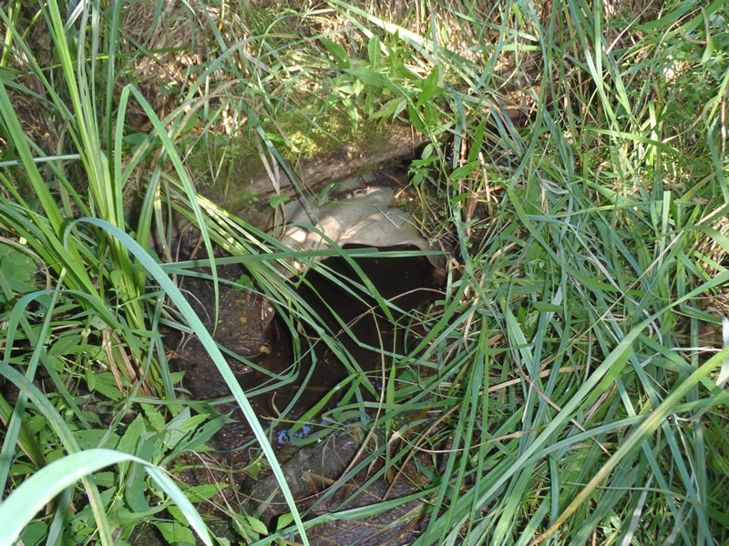
Outlet
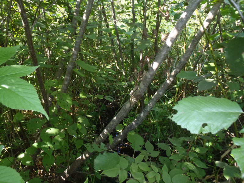
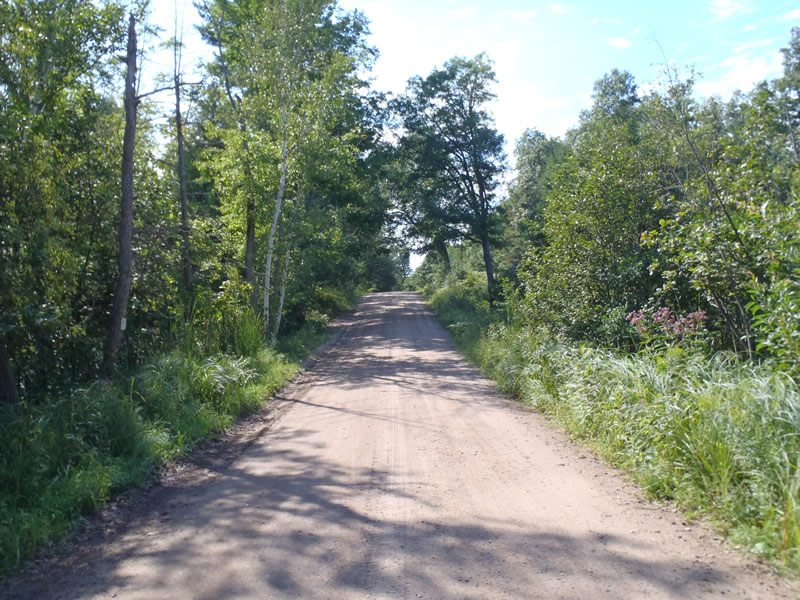
Upstream Conditions
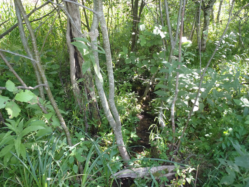
Downstream Conditions
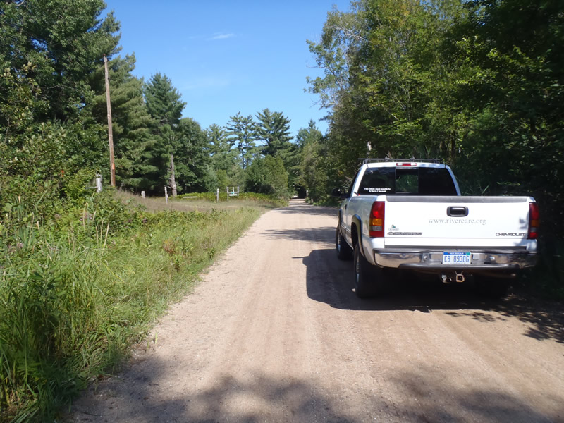
Road Approach - Left
Road Approach - Right
Crossing Information
Type of Crossing: culvert(s)
Number of Structures: 1
Structure Shape: Round
Inlet Type: Projecting
Outlet Type: At Stream Grade
Structure Material: Metal
Structure Substrate: Sand
General Conditions: Good
Structure Interior: corrugated
Dimensions of Structure: Length 30 ft.
, Width 1 ft.
, Height 1 ft.
Structure is NOT Perched
Structure Inlet
Water Depth: 0.41 ft.
Embedded Depth of Structure: 0 ft.
Water Velocity*: 0 ft./sec.
Water Depth: 0 ft.
Embedded Depth of Structure: 0 ft.
Water Velocity*: 0 ft./sec.
*Water Velocities were measured at the Surface
(with Meter)
Additional Comments
Intermittent stream dry at the time of data collection
Stream Information
Stream Flow: None
Riffle Information
Water Depth: 0 ft.
Bankfull Width: 3.8 ft.
Wetted Width: 1.6 ft.
Water Velocity: 0 ft./sec.
(Measured with Meter)
Dominant Substrate: Sand
Road Information
Gravel
County Road
Road Condition: Fair
Road Width at Culvert: 16 ft.
Location of Low Point: At Stream
Runoff Path: Ditch
Embankments
Upstream
Fill Depth: 1.6 ft.
Slope: 1:1
Downstream
Fill Depth: 1.5 ft.
Slope: 1:1
Approaches
Left Approach
Length: 1000 ft.
Slope: 1% to 5%
Vegetation: Heavy
LS Factor: 0.57
Erosion: 2.5124 tons/year
Right Approach
Length: 402 ft.
Slope: 6% to 10%
Vegetation: Heavy
LS Factor: 1.532
Erosion: 2.7147 tons/year
Erosion Information
Total Erosion at Crossing: 5.2271 tons/year
Summary Information
Fish Passability 0.5
These non-native species were observerd at this site: Large stand of Phragmites on the left downstream side
�