Road Stream Crossing Site BSAB_BS15
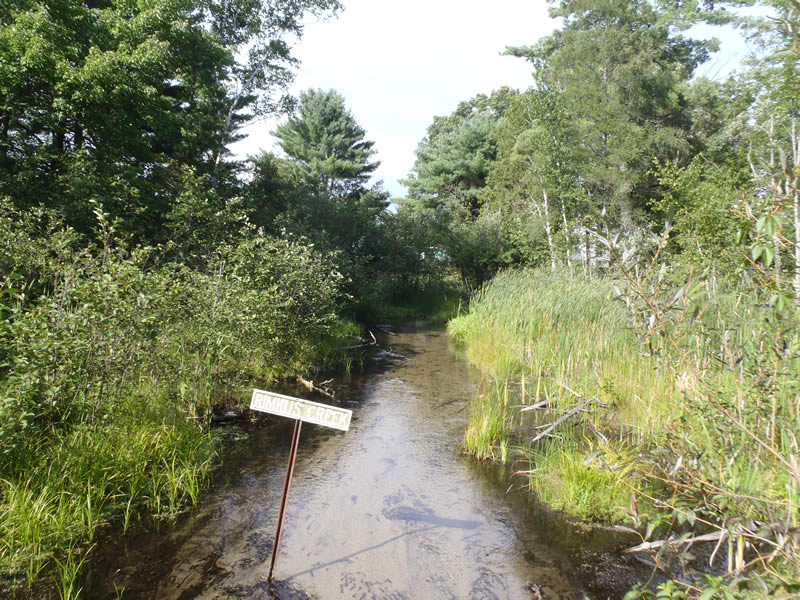
Big Sable River Watershed, Rimkus Creek
6 Mile Rd
Sauble Twp,
Lake County
Information collected by:
Site Location
GPS Coordinates: 44.07565
, -85.94626
T19N
R14W
Sec 2
Owned by Private
Fish Passability 0.9
Structure is NOT Perched
Total Erosion: 2.554 tons/year
Severity: Moderate
Year Inventoried: 2011
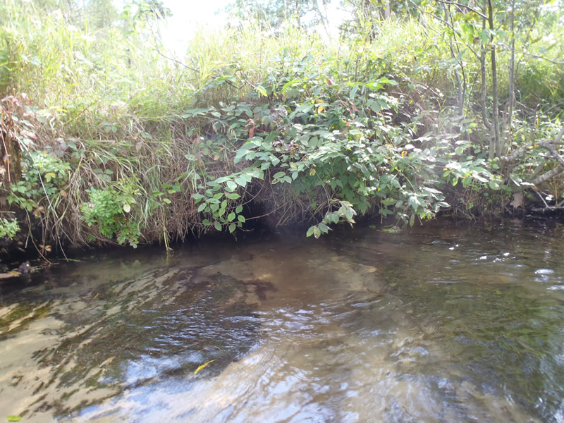
Inlet
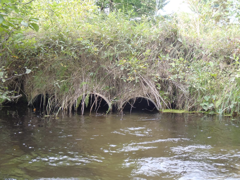
Outlet
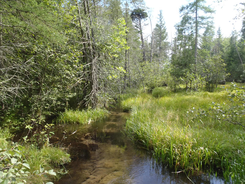
Upstream Conditions
Downstream Conditions
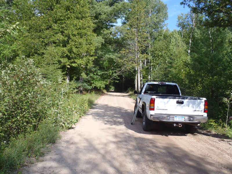
Road Approach - Left
Road Approach - Right
Crossing Information
Type of Crossing: culvert(s)
Number of Structures: 3
Structure Shape: Round
Inlet Type: Projecting
Outlet Type: At Stream Grade
Structure Material: Metal
Structure Substrate: Sand
General Conditions: Poor
Structure Interior: corrugated
Dimensions of Structure: Length 20 ft.
, Width 1.5 ft.
, Height 1.5 ft.
Structure is NOT Perched
Structure Inlet
Water Depth: 1.1 ft.
Embedded Depth of Structure: 0 ft.
Water Velocity*: 0.6 ft./sec.
Structure Outlet
Water Depth: 0.9 ft.
Embedded Depth of Structure: 0 ft.
Water Velocity*: 1.7 ft./sec.
*Water Velocities were measured 0.54 ft. below Surface
(with Meter)
Stream Information
Stream Flow: Less than Bankfull
Scour Pool: Length 10 ft.
, Width 5 ft.
, Depth 2.15 ft.
Riffle Information
Water Depth: 0.23 ft.
Bankfull Width: 27.4 ft.
Wetted Width: 20.3 ft.
Water Velocity: 1.9 ft./sec.
(Measured with Meter)
Dominant Substrate: Gravel
Road Information
Gravel
County Road
Road Condition: Fair
Road Width at Culvert: 16 ft.
Location of Low Point: Other
Runoff Path: Roadway
Embankments
Upstream
Fill Depth: 2.8 ft.
Slope: Vertical
Downstream
Fill Depth: 2.6 ft.
Slope: Vertical
Approaches
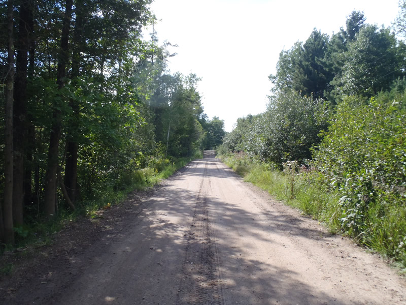
Left Approach
Length: 1000 ft.
Slope: 1% to 5%
Vegetation: Heavy
LS Factor: 0.57
Erosion: 2.5124 tons/year
Right Approach
Length: 189 ft.
Slope: Less Than 1%
Vegetation: Heavy
LS Factor: 0.05
Erosion: 0.0417 tons/year
Erosion Information
Total Erosion at Crossing: 2.554 tons/year
Extent of Erosion: Minor
Notes: Minor erosion on the vertical embankments with some minor road runoff and a dowstream scour pool
Summary Information
Fish Passability 0.9
�