Road Stream Crossing Site BSAB_BS16
Big Sable River Watershed, Rimkus Creek
N. Mac Rd
Elk Twp,
Lake County
Information collected by:
Site Location
GPS Coordinates: 44.0877
, -85.96292
T20N
R14W
Sec 35
Owned by Private
Perch Height: 0.6 ft.
Total Erosion: 0.0724 tons/year
Severity: Severe
Year Inventoried: 2011
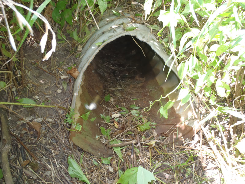
Inlet
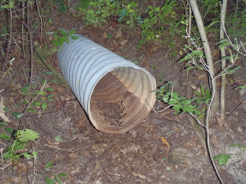
Outlet
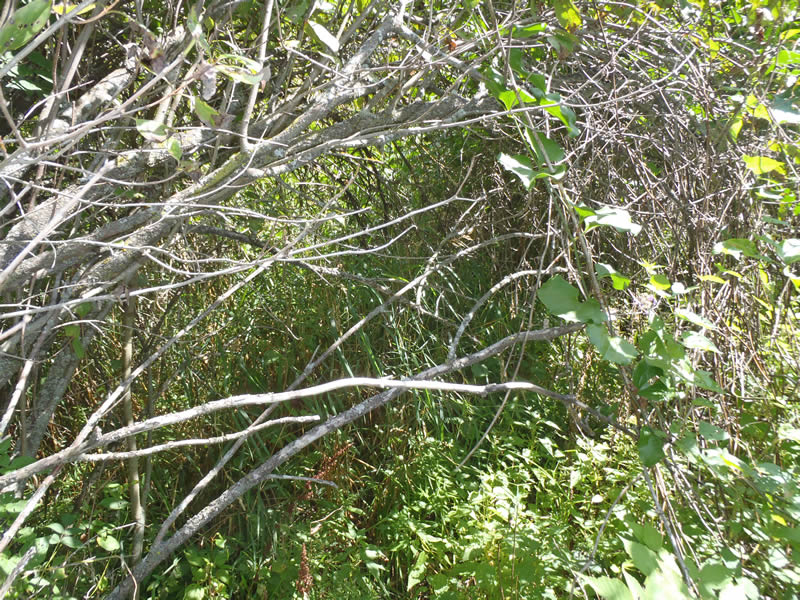
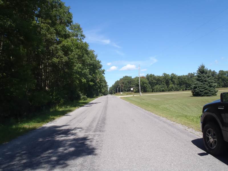
Upstream Conditions
Downstream Conditions
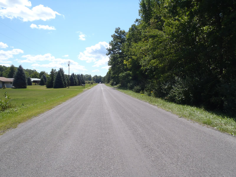
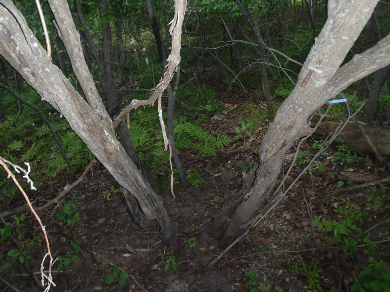
Road Approach - Left
Road Approach - Right
Crossing Information
Type of Crossing: culvert(s)
Number of Structures: 1
Structure Shape: Round
Inlet Type: Mitered
Outlet Type: Freefall into Pool
Structure Material: Metal
Structure Substrate: None
General Conditions: Poor
Structure Interior: corrugated
Structure is Rusted through
Dimensions of Structure: Length 40 ft.
, Width 1.33 ft.
, Height 1.33 ft.
Perch Height: 0.6 ft.
Water Depth: 0 ft.
Embedded Depth of Structure: 0 ft.
Water Velocity*: 0 ft./sec.
Water Depth: 0 ft.
Embedded Depth of Structure: 0 ft.
Water Velocity*: 0 ft./sec.
*Water Velocities were measured at the Surface
(with Meter)
Additional Comments
Intermittent stream dry at the time of data collection.
Stream Information
Stream Flow: None
Riffle Information
Water Depth: 0 ft.
Bankfull Width: 3.3 ft.
Wetted Width: 0 ft.
Water Velocity: 0 ft./sec.
(Measured with Meter)
Dominant Substrate: Sand
Road Information
Paved
County Road
Road Condition: Good
Road Width at Culvert: 25 ft.
Location of Low Point: At Stream
Runoff Path: Ditch
Embankments
Upstream
Fill Depth: 3.8 ft.
Slope: 1:1.5
Downstream
Fill Depth: 3.7 ft.
Slope: 1:1.5
Approaches
Left Approach
Length: 1000 ft.
Slope: Less Than 1%
Vegetation: Heavy
LS Factor: 0.05
Erosion: 0.0413 tons/year
Right Approach
Length: 753 ft.
Slope: Less Than 1%
Vegetation: Heavy
LS Factor: 0.05
Erosion: 0.0311 tons/year
Erosion Information
Total Erosion at Crossing: 0.0724 tons/year
Extent of Erosion: Minor
Notes:
Evidence of scour pool erosion due to the perched culvert when stream is active.
Summary Information
Erosion is an area of concern for this site.
�