Road Stream Crossing Site BSAB_BS17
Big Sable River Watershed, Black Creek
Elk Hwy
Elk Twp,
Lake County
Information collected by:
Site Location
GPS Coordinates: 44.07624
, -86.0248
T20N
R14W
Sec 31
Owned by Federal
Fish Passability 0
Perch Height: 0.2 ft.
Total Erosion: 0.551 tons/year
Severity: Severe
Year Inventoried: 2011
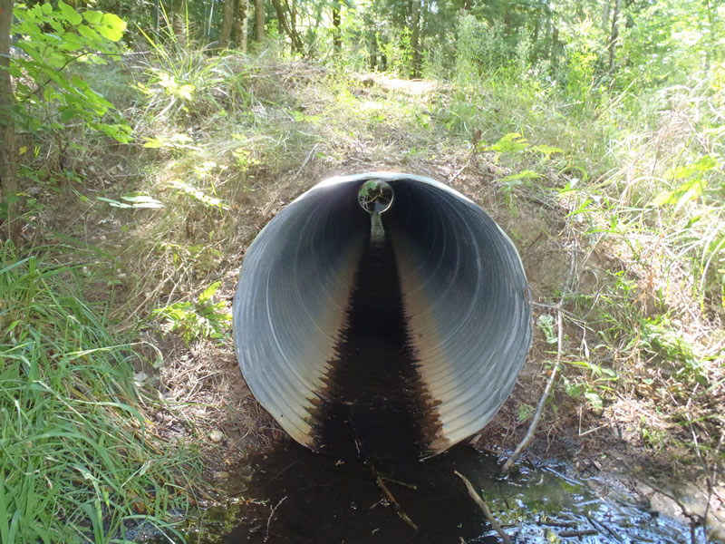
Inlet
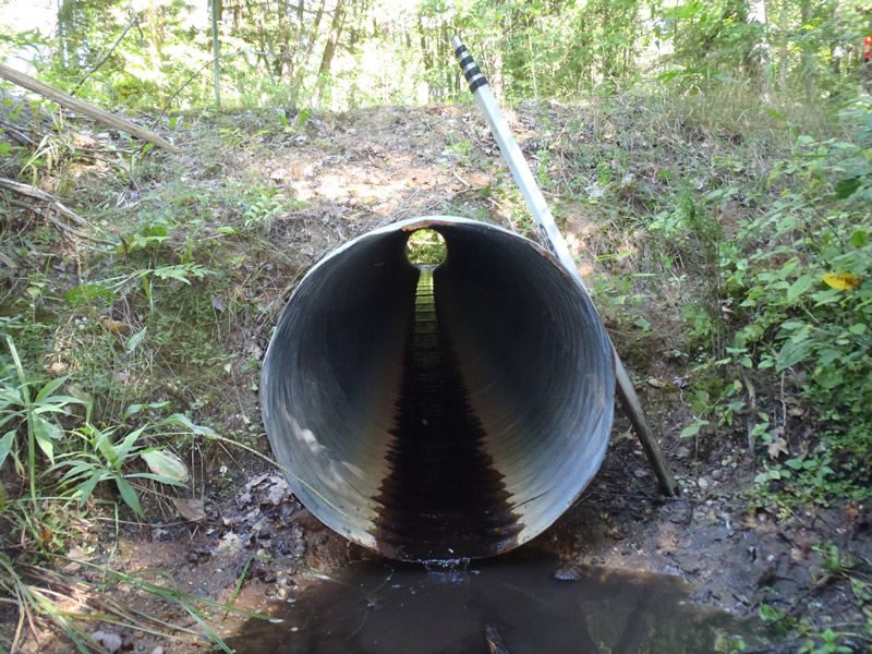
Outlet
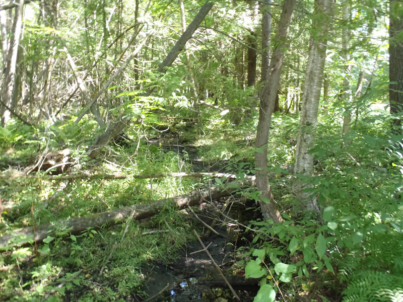
Upstream Conditions
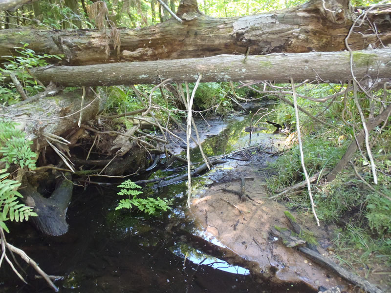
Downstream Conditions
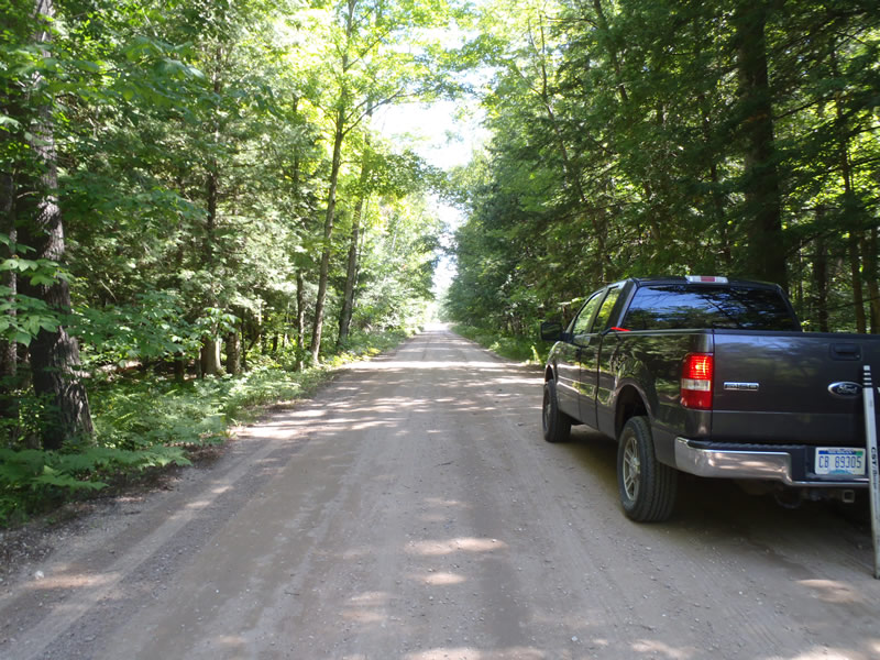
Road Approach - Left
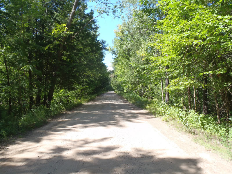
Road Approach - Right
Crossing Information
Type of Crossing: culvert(s)
Number of Structures: 1
Structure Shape: Round
Inlet Type: Projecting
Outlet Type: At Stream Grade
Structure Material: Metal
Structure Substrate: None
General Conditions: Good
Structure Interior: corrugated
Dimensions of Structure: Length 40 ft.
, Width 2.5 ft.
, Height 2.5 ft.
Perch Height: 0.2 ft.
Structure Inlet
Water Depth: 0.06 ft.
Embedded Depth of Structure: 0 ft.
Water Velocity*: 0.05 ft./sec.
Structure Outlet
Water Depth: 0.01 ft.
Embedded Depth of Structure: 0 ft.
Water Velocity*: 0.1 ft./sec.
*Water Velocities were measured at the Surface
(with Meter)
Stream Information
Stream Flow: Less than 1/2 Bankfull
Riffle Information
Water Depth: 0.04 ft.
Bankfull Width: 6.7 ft.
Wetted Width: 1.8 ft.
Water Velocity: 0.05 ft./sec.
(Measured with Meter)
Dominant Substrate: Organics
Road Information
Gravel
County Road
Road Condition: Fair
Road Width at Culvert: 20 ft.
Location of Low Point: At Stream
Runoff Path: Ditch
Embankments
Upstream
Fill Depth: 2.4 ft.
Slope: 1:1
Downstream
Fill Depth: 2.1 ft.
Slope: 1:1
Approaches
Left Approach
Length: 1000 ft.
Slope: Less Than 1%
Vegetation: Heavy
LS Factor: 0.05
Erosion: 0.2755 tons/year
Right Approach
Length: 1000 ft.
Slope: Less Than 1%
Vegetation: Heavy
LS Factor: 0.05
Erosion: 0.2755 tons/year
Erosion Information
Total Erosion at Crossing: 0.551 tons/year
Summary Information
Fish Passability 0
�