Road Stream Crossing Site BSAB_BS24
Big Sable River Watershed, Tributary of Muckwa Creek
Freesoil Rd
Meade Twp,
Mason County
Information collected by:
Site Location
GPS Coordinates: 44.10566
, -86.05061
T20N
R15W
Sec 25
Owned by Federal
Structure is NOT Perched
Total Erosion: 0.5124 tons/year
Severity: Moderate
Year Inventoried: 2011
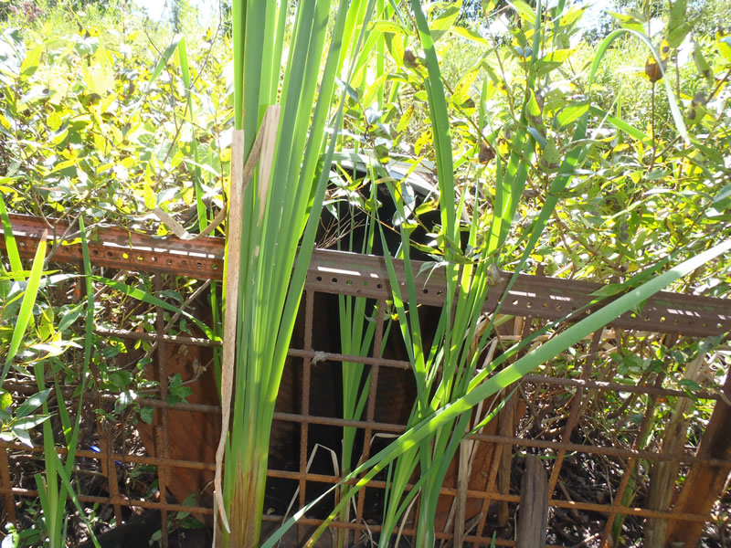
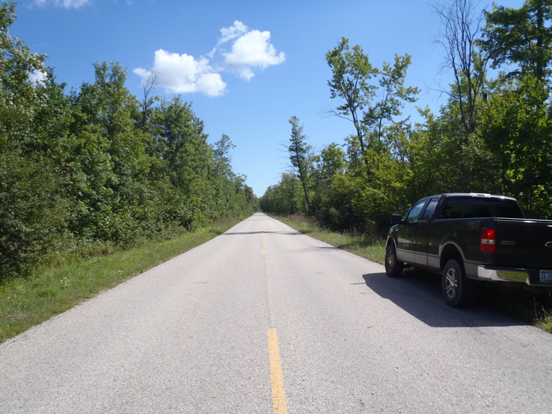
Inlet
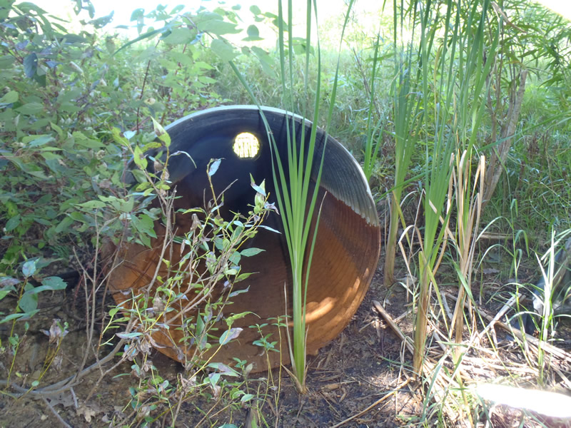
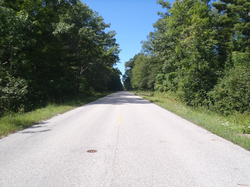
Outlet
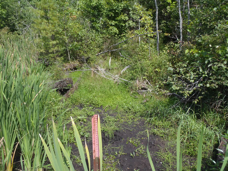
Upstream Conditions
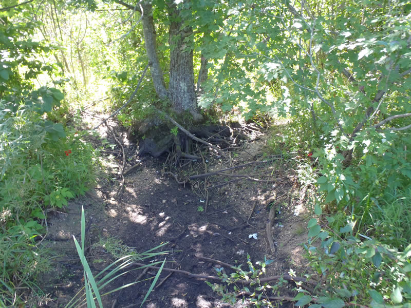
Downstream Conditions
Road Approach - Left
Road Approach - Right
Crossing Information
Type of Crossing: culvert(s)
Number of Structures: 1
Structure Shape: Round
Inlet Type: Trash Rack
Outlet Type: At Stream Grade
Structure Material: Metal
Structure Substrate: None
General Conditions: Fair
Structure Interior: corrugated
Structure is Rusted through
Dimensions of Structure: Length 50 ft.
, Width 3 ft.
, Height 3 ft.
Structure is NOT Perched
Water Depth: 0 ft.
Embedded Depth of Structure: 0 ft.
Water Velocity*: 0 ft./sec.
Water Depth: 0 ft.
Embedded Depth of Structure: 0 ft.
Water Velocity*: 0 ft./sec.
*Water Velocities were measured at the Surface
(with Meter)
Additional Comments
Intermittent stream dry at the time of data collection.
Stream Information
Stream Flow: None
Riffle Information
Water Depth: 0 ft.
Bankfull Width: 6 ft.
Wetted Width: 0 ft.
Water Velocity: 0 ft./sec.
(Measured with Meter)
Dominant Substrate: Organics
Road Information
Paved
County Road
Road Condition: Good
Road Width at Culvert: 25 ft.
Location of Low Point: At Stream
Runoff Path: Ditch
Embankments
Upstream
Fill Depth: 3.3 ft.
Slope: 1:1
Downstream
Fill Depth: 3 ft.
Slope: 1:1
Approaches
Left Approach
Length: 1000 ft.
Slope: Less Than 1%
Vegetation: Heavy
LS Factor: 0.05
Erosion: 0.0413 tons/year
Right Approach
Length: 1000 ft.
Slope: 1% to 5%
Vegetation: Heavy
LS Factor: 0.57
Erosion: 0.4711 tons/year
Erosion Information
Total Erosion at Crossing: 0.5124 tons/year
Extent of Erosion: Moderate
Summary Information
Erosion is an area of concern for this site.
�