Road Stream Crossing Site BSAB_BS26
Big Sable River Watershed, Little Sable River
Millerton Rd
Sheridan Twp,
Mason County
Information collected by:
Site Location
GPS Coordinates: 44.03286
, -86.04211
T19N
R15W
Sec 13
Owned by Private
Fish Passability 0.5
Structure is NOT Perched
Total Erosion: 0.0992 tons/year
Severity: Moderate
Year Inventoried: 2011
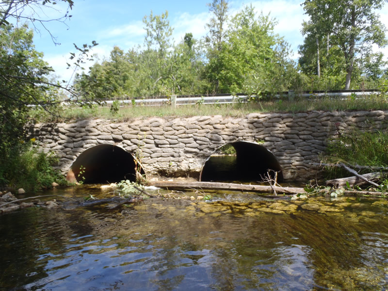
Inlet
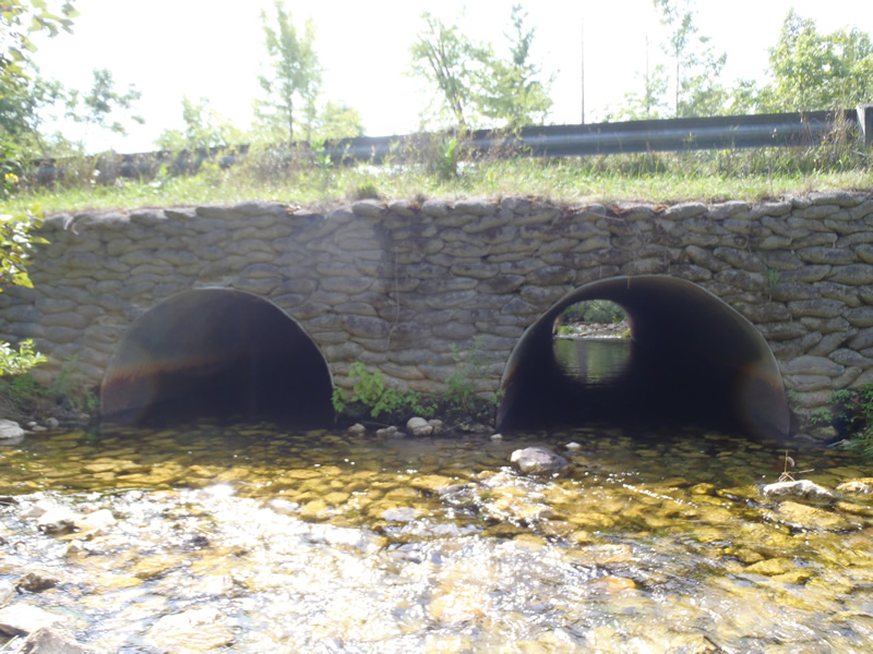
Outlet
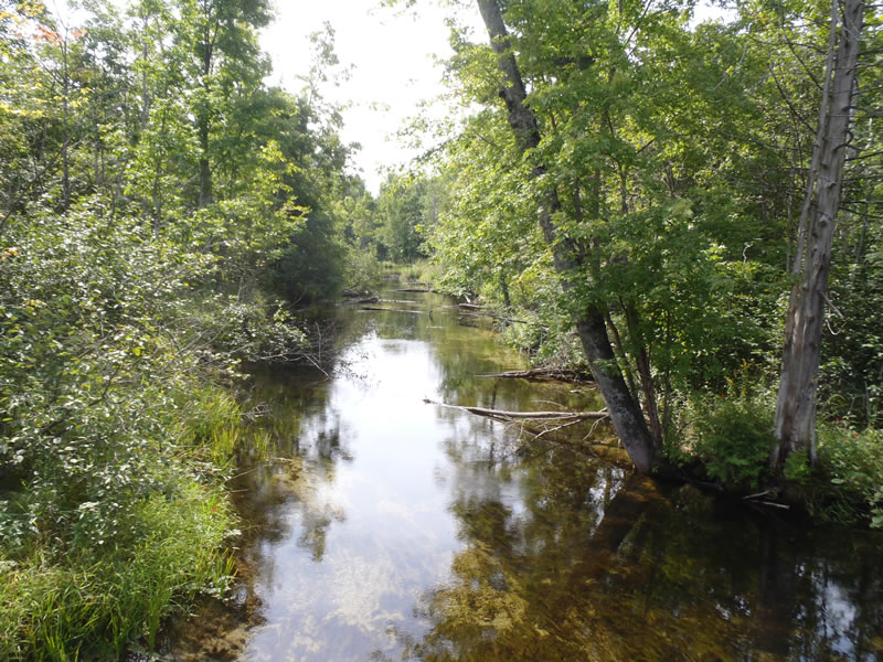
Upstream Conditions
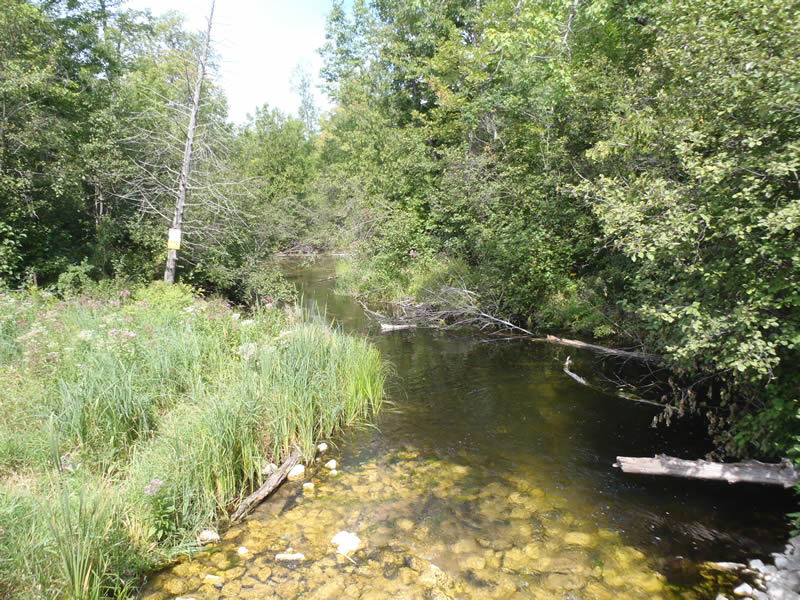
Downstream Conditions
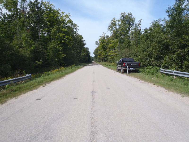
Road Approach - Left
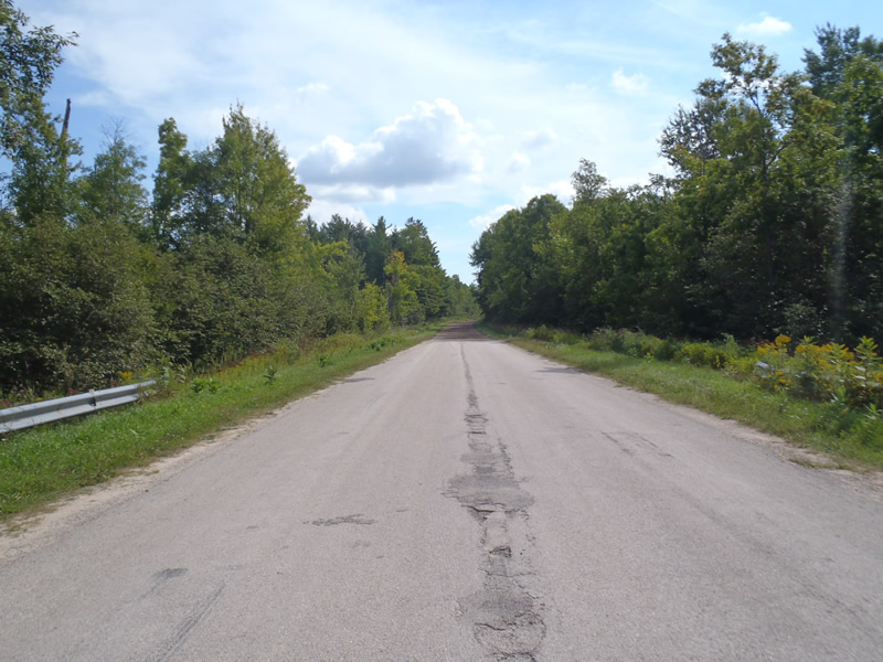
Road Approach - Right
Crossing Information
Type of Crossing: culvert(s)
Number of Structures: 2
Structure Shape: Pipe Arch
Inlet Type: Headwall
Outlet Type: At Stream Grade
Structure Material: Metal
Structure Substrate: Rock
General Conditions: Fair
Structure Interior: corrugated
Dimensions of Structure: Length 50 ft.
, Width 7 ft.
, Height 4.8 ft.
Structure is NOT Perched
Structure Inlet
Water Depth: 0.75 ft.
Embedded Depth of Structure: 0.3 ft.
Water Velocity*: 2.3 ft./sec.
Structure Outlet
Water Depth: 1.03 ft.
Embedded Depth of Structure: 0.1 ft.
Water Velocity*: 1 ft./sec.
*Water Velocities were measured 0.45 ft. below Surface
(with Meter)
Stream Information
Stream Flow: Less than Bankfull
Scour Pool: Length 35 ft.
, Width 25 ft.
, Depth 4 ft.
Riffle Information
Water Depth: 0.44 ft.
Bankfull Width: 45.8 ft.
Wetted Width: 44.4 ft.
Water Velocity: 0.9 ft./sec.
(Measured with Meter)
Dominant Substrate: Sand
Road Information
Paved
County Road
Road Condition: Fair
Road Width at Culvert: 30 ft.
Location of Low Point: Other
Runoff Path: Ditch
Embankments
Upstream
Fill Depth: 3.5 ft.
Slope: 1:1.5
Downstream
Fill Depth: 3.5 ft.
Slope: 1:1.5
Approaches
Left Approach
Length: 1000 ft.
Slope: Less Than 1%
Vegetation: Heavy
LS Factor: 0.05
Erosion: 0.0496 tons/year
Right Approach
Length: 1000 ft.
Slope: Less Than 1%
Vegetation: Heavy
LS Factor: 0.05
Erosion: 0.0496 tons/year
Erosion Information
Total Erosion at Crossing: 0.0992 tons/year
Extent of Erosion: Minor
Notes: Minor scour pool erosion at outlet
Summary Information
Fish Passability 0.5
These non-native species were observerd at this site: Large Phragmites stand on the north downstream side of the right approach
�