Road Stream Crossing Site BSAB_BS29
Big Sable River Watershed, Tributary of Little Sable River
Masten Rd
Sheridan Twp,
Mason County
Information collected by:
Site Location
GPS Coordinates: 44.05122
, -86.05947
T19N
R15W
Sec 12
Owned by Private
Fish Passability 0.5
Structure is NOT Perched
Total Erosion: 2.5427 tons/year
Severity: Moderate
Year Inventoried: 2011
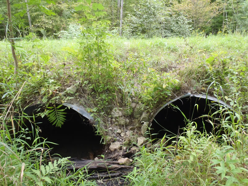
Inlet
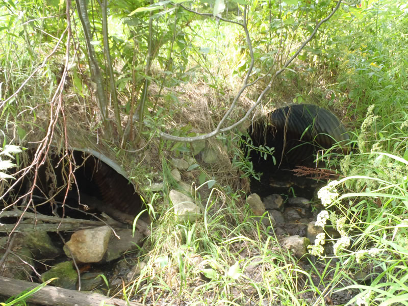
Outlet
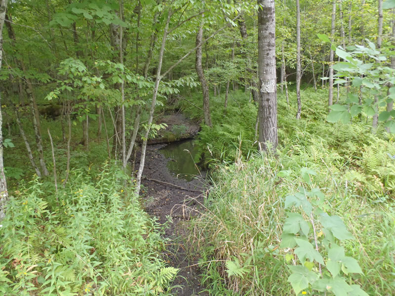
Upstream Conditions
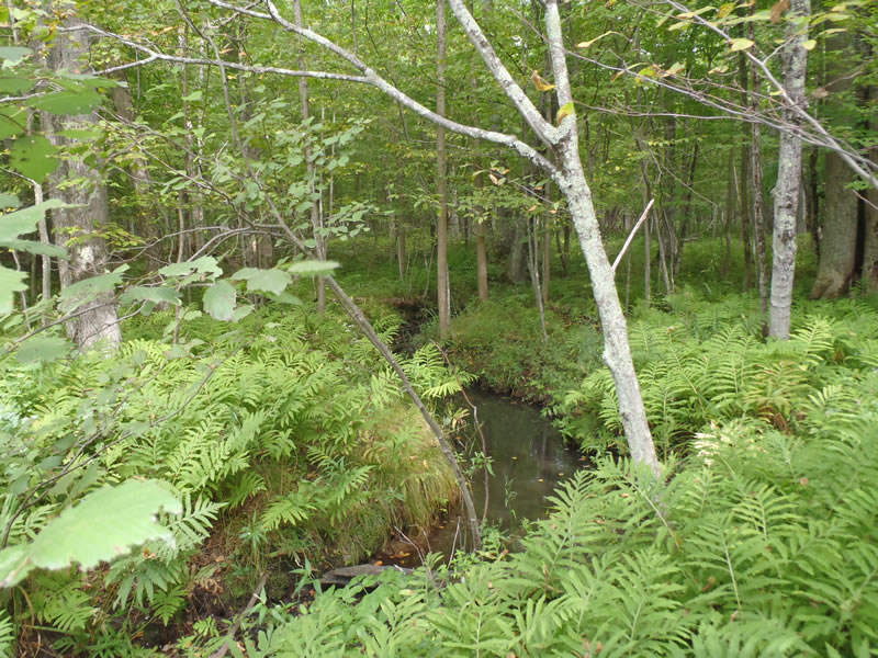
Downstream Conditions
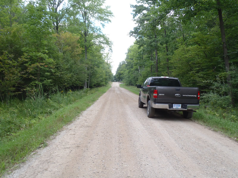
Road Approach - Left
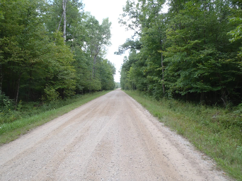
Road Approach - Right
Crossing Information
Type of Crossing: culvert(s)
Number of Structures: 2
Structure Shape: Ellipse
Inlet Type: Projecting
Outlet Type: At Stream Grade
Structure Material: Metal
Structure Substrate: None
General Conditions: Fair
Structure Interior: corrugated
Dimensions of Structure: Length 35 ft.
, Width 4 ft.
, Height 2.6 ft.
Percentage Plugged:
Outlet: 1% to 25%
Percentage Crushed:
In Pipe: 26% to 50%
Structure is NOT Perched
Structure Inlet
Water Depth: 0.24 ft.
Embedded Depth of Structure: 0 ft.
Water Velocity*: 0 ft./sec.
Water Depth: 0 ft.
Embedded Depth of Structure: 0 ft.
Water Velocity*: 0 ft./sec.
*Water Velocities were measured at the Surface
(with Meter)
Additional Comments
Intermittent stream dry at the time of data collection
Stream Information
Stream Flow: None
Riffle Information
Water Depth: 0 ft.
Bankfull Width: 10 ft.
Wetted Width: 0 ft.
Water Velocity: 0 ft./sec.
(Measured with Meter)
Dominant Substrate: Sand
Road Information
Gravel
County Road
Road Condition: Good
Road Width at Culvert: 17 ft.
Location of Low Point: At Stream
Runoff Path: Ditch
Embankments
Upstream
Fill Depth: 2.5 ft.
Slope: 1:1
Downstream
Fill Depth: 2.5 ft.
Slope: Vertical
Approaches
Left Approach
Length: 930 ft.
Slope: 1% to 5%
Vegetation: Heavy
LS Factor: 0.563
Erosion: 2.4521 tons/year
Right Approach
Length: 387 ft.
Slope: Less Than 1%
Vegetation: Heavy
LS Factor: 0.05
Erosion: 0.0906 tons/year
Erosion Information
Total Erosion at Crossing: 2.5427 tons/year
Summary Information
Fish Passability 0.5
�