Road Stream Crossing Site BSAB_BS30
Big Sable River Watershed, Tributary of Little Sable River
Burley Rd
Sheridan Twp,
Mason County
Information collected by:
Site Location
GPS Coordinates: 44.05169
, -86.07311
T19N
R15W
Sec 11
Owned by Private
Federal
Federal
Fish Passability 0.5
Structure is NOT Perched
Total Erosion: 0.2755 tons/year
Severity: Moderate
Year Inventoried: 2011
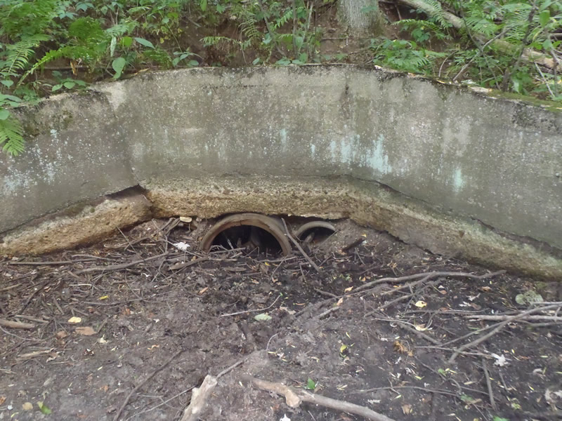
Inlet
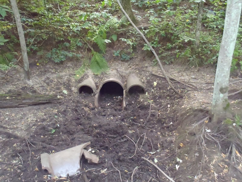
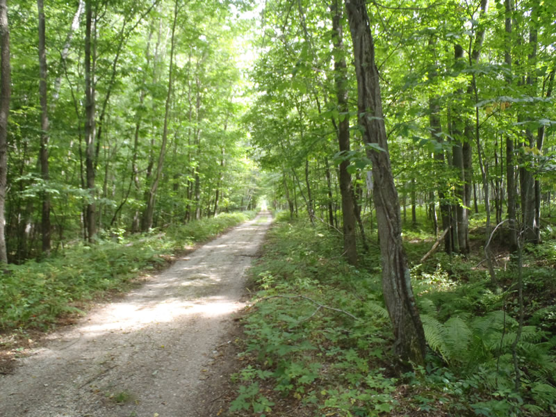
Outlet
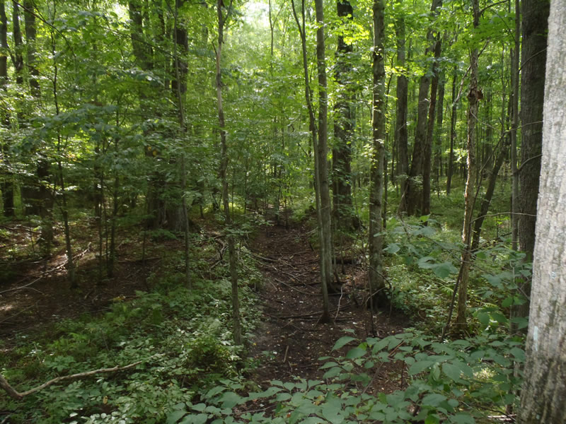
Upstream Conditions
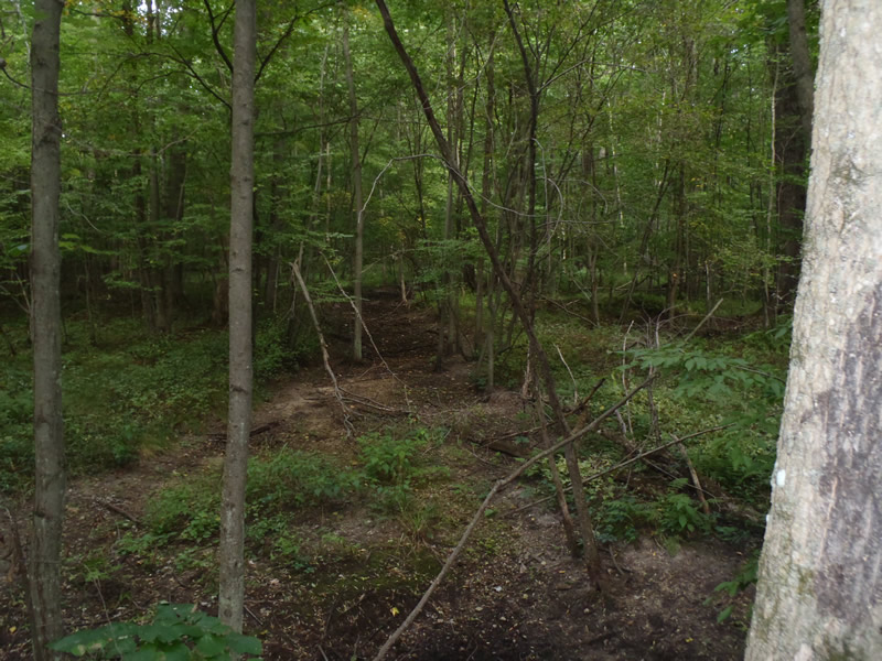
Downstream Conditions
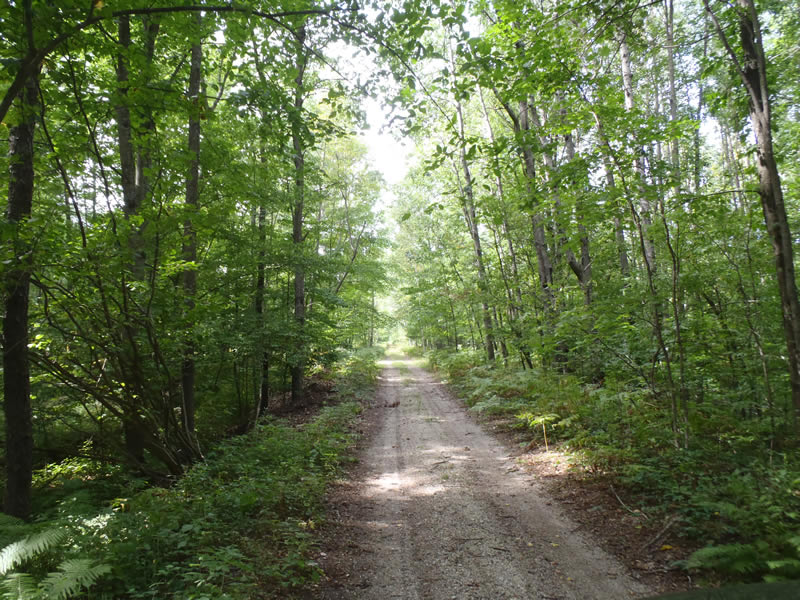
Road Approach - Left
Road Approach - Right
Crossing Information
Type of Crossing: culvert(s)
Number of Structures: 3
Structure Shape: Round
Inlet Type: Wingwall 30-70 Degree
Outlet Type: At Stream Grade
Structure Material: Concrete
Structure Substrate: Sand
General Conditions: Poor
Multiple Culverts/Spans | ||||
Culvert/Span | Width | Length | Height | Material |
1 |
1 ft. |
35 ft. |
1 ft. |
Concrete |
2 |
1.6 ft. |
35 ft. |
1.6 ft. |
Concrete |
3 |
1 ft. |
35 ft. |
1 ft. |
Concrete |
Structure Interior: smooth
Dimensions of Structure: Length 35 ft.
, Width 1.6 ft.
, Height 1.6 ft.
Percentage Plugged:
Inlet: 76% to 100%
Outlet: 26% to 50%
In Pipe: 26% to 50%
Structure is NOT Perched
Water Depth: 0 ft.
Embedded Depth of Structure: 0 ft.
Water Velocity*: 0 ft./sec.
Water Depth: 0 ft.
Embedded Depth of Structure: 0 ft.
Water Velocity*: 0 ft./sec.
*Water Velocities were measured at the Surface
(with Meter)
Additional Comments
1) Intermittent stream dry at the time of data collection
2) culverts are old clay pipes
Stream Information
Stream Flow: None
Riffle Information
Water Depth: 0 ft.
Bankfull Width: 12 ft.
Wetted Width: 0 ft.
Water Velocity: 0 ft./sec.
(Measured with Meter)
Dominant Substrate: Sand
Road Information
Gravel
County Road
(Seasonal)
Road Condition: Fair
Road Width at Culvert: 10 ft.
Location of Low Point: At Stream
Runoff Path: Ditch
Embankments
Upstream
Fill Depth: 5.5 ft.
Slope: 1:1
Downstream
Fill Depth: 5.2 ft.
Slope: 1:1
Approaches
Left Approach
Length: 1000 ft.
Slope: Less Than 1%
Vegetation: Heavy
LS Factor: 0.05
Erosion: 0.1377 tons/year
Right Approach
Length: 1000 ft.
Slope: Less Than 1%
Vegetation: Heavy
LS Factor: 0.05
Erosion: 0.1377 tons/year
Erosion Information
Total Erosion at Crossing: 0.2755 tons/year
Extent of Erosion: Minor
Notes: Minor erosion due to lack of stabilizing vegetation and scouring
Summary Information
Fish Passability 0.5
�