Road Stream Crossing Site BSAB_BS31
Big Sable River Watershed, Tributary of Big Sable River
Sauble Rd
Sheridan Twp,
Mason County
Information collected by:
Site Location
GPS Coordinates: 44.0658
, -86.07366
T19N
R15W
Sec 2
Owned by Private
Federal
Federal
Fish Passability 0.9
Structure is NOT Perched
Total Erosion: 0.7677 tons/year
Severity: Moderate
Year Inventoried: 2011
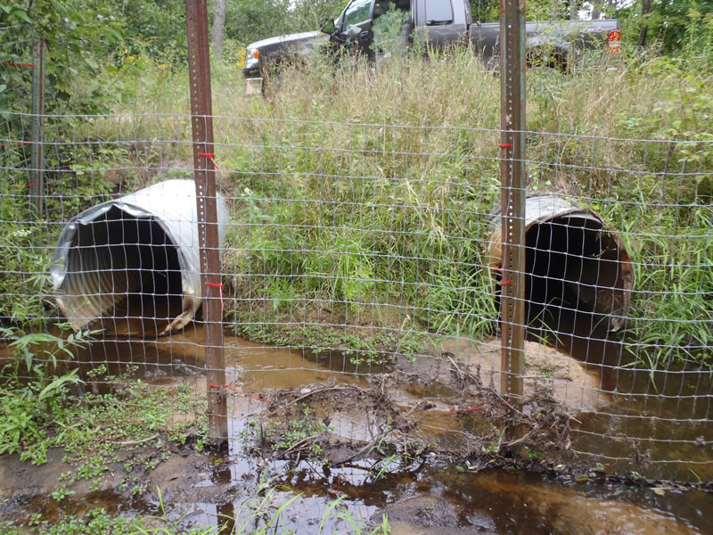
Inlet
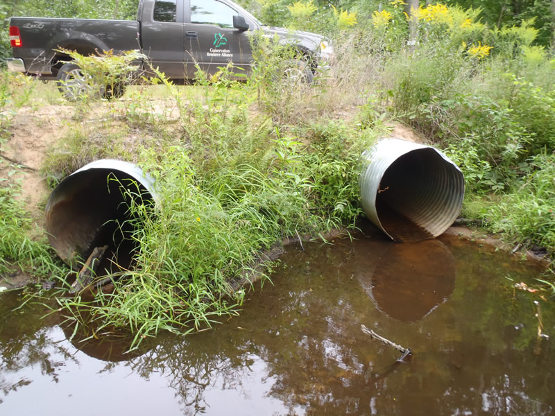
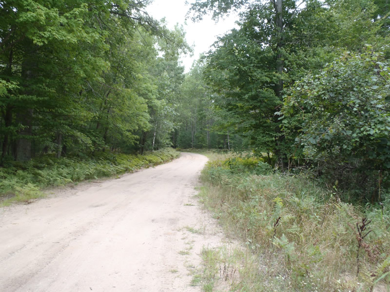
Outlet
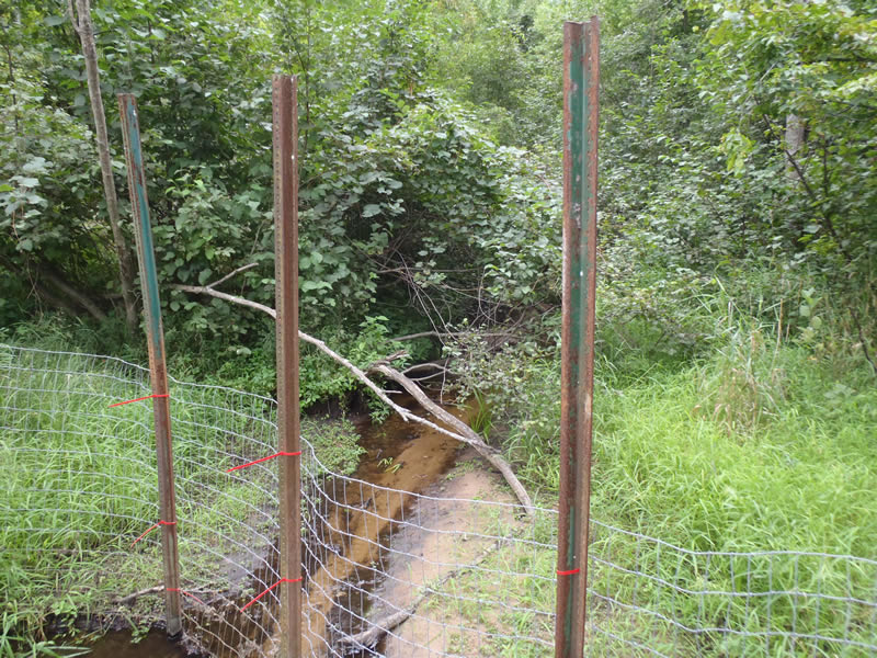
Upstream Conditions
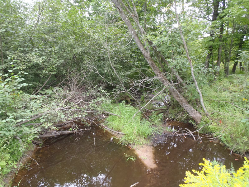
Downstream Conditions
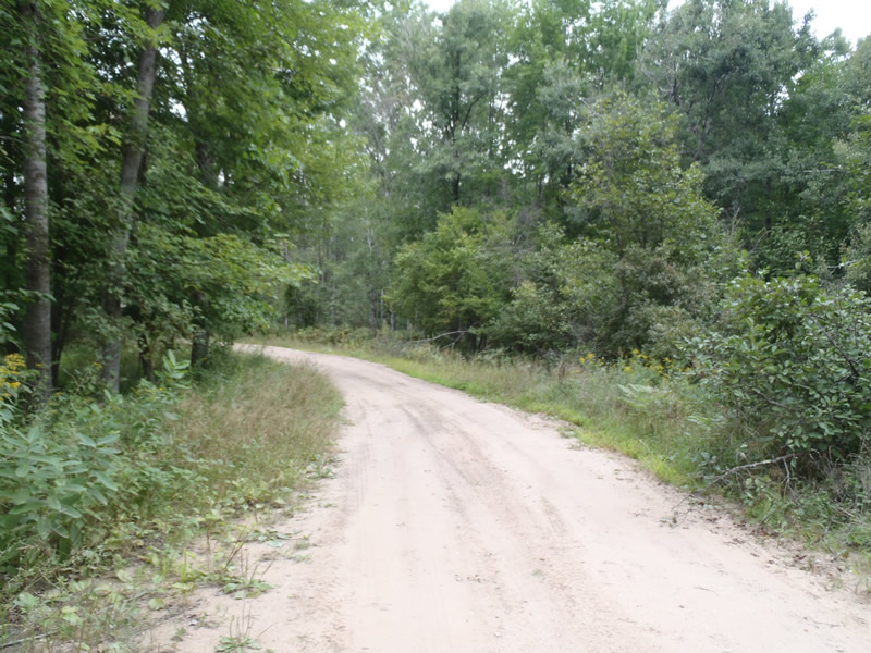
Road Approach - Left
Road Approach - Right
Crossing Information
Type of Crossing: culvert(s)
Number of Structures: 2
Structure Shape: Round
Inlet Type: Projecting
Outlet Type: At Stream Grade
Structure Material: Metal
Structure Substrate: Sand
General Conditions: Fair
Multiple Culverts/Spans | ||||
Culvert/Span | Width | Length | Height | Material |
1 |
3 ft. |
40 ft. |
3 ft. |
Metal |
2 |
3 ft. |
40 ft. |
3 ft. |
Metal |
Structure Interior: corrugated
Dimensions of Structure: Length 40 ft.
, Width 3 ft.
, Height 3 ft.
Structure is NOT Perched
Structure Inlet
Water Depth: 0.2 ft.
Embedded Depth of Structure: 0 ft.
Water Velocity*: 0.7 ft./sec.
Structure Outlet
Water Depth: 0.21 ft.
Embedded Depth of Structure: 0 ft.
Water Velocity*: 0.7 ft./sec.
*Water Velocities were measured 0.12 ft. below Surface
(with Meter)
Additional Comments
Old beaver dam downstream about 70 ft
Stream Information
Stream Flow: Less than 1/2 Bankfull
Scour Pool: Length 20 ft.
, Width 12 ft.
, Depth 2.4 ft.
Riffle Information
Water Depth: 0.15 ft.
Bankfull Width: 13 ft.
Wetted Width: 2.8 ft.
Water Velocity: 0.5 ft./sec.
(Measured with Meter)
Dominant Substrate: Sand
Road Information
Sand
County Road
Road Condition: Fair
Road Width at Culvert: 16 ft.
Location of Low Point: Other
Runoff Path: Roadway
Embankments
Upstream
Fill Depth: 2.2 ft.
Slope: 1:1
Downstream
Fill Depth: 1.2 ft.
Slope: Vertical
Approaches
Left Approach
Length: 144 ft.
Slope: Less Than 1%
Vegetation: Heavy
LS Factor: 0.05
Erosion: 0.0317 tons/year
Right Approach
Length: 312 ft.
Slope: 1% to 5%
Vegetation: Heavy
LS Factor: 0.462
Erosion: 0.6359 tons/year
Erosion Information
Total Erosion at Crossing: 0.7677 tons/year
Extent of Erosion: Moderate
Erosion is occurring and corrective actions can be installed to address the problem.
Notes: Erosion is a result of road runoff
Location of Erosion | Erosion Dimensions | Eroded Material | Material Eroded | Total Erosion | ||
facing downstream | Length | Width | Depth | Reaching Stream? | (tons/year) | |
Left Downstream Embankment |
4 ft. |
4 ft. |
2 ft. |
yes |
Sand |
0.0616 |
Right Downstream Embankment |
5 ft. |
1.5 ft. |
1 ft. |
yes |
Sand |
0.0385 |
Summary Information
Fish Passability 0.9
These non-native species were observerd at this site: Knapweed
�