Road Stream Crossing Site BSAB_BS01
Big Sable River Watershed, Big Sable River
5 Mile Rd
Sauble Twp,
Lake County
Information collected by:
Site Location
GPS Coordinates: 44.05859
, -85.93836
T19N
R14W
Sec 12
Owned by Private
Fish Passability 0
Perch Height: 0.2 ft.
Total Erosion: 1.7709 tons/year
Severity: Severe
Year Inventoried: 2011
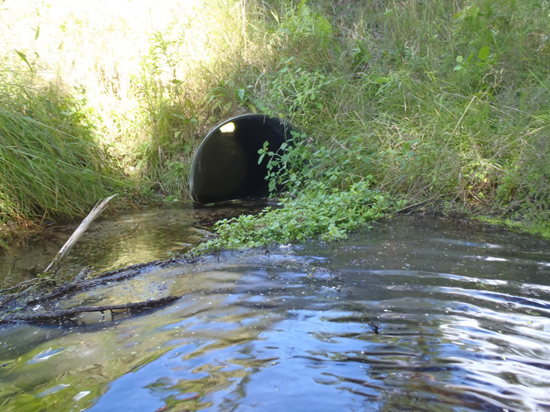
Inlet
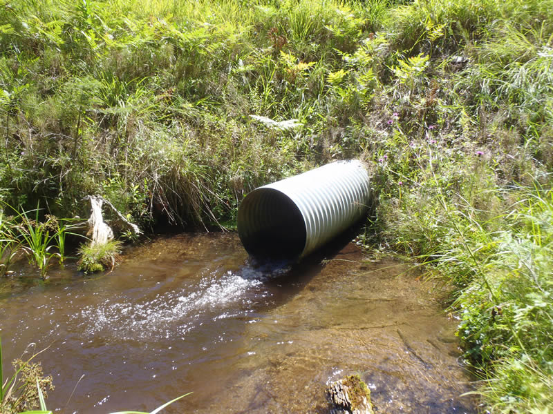
Outlet
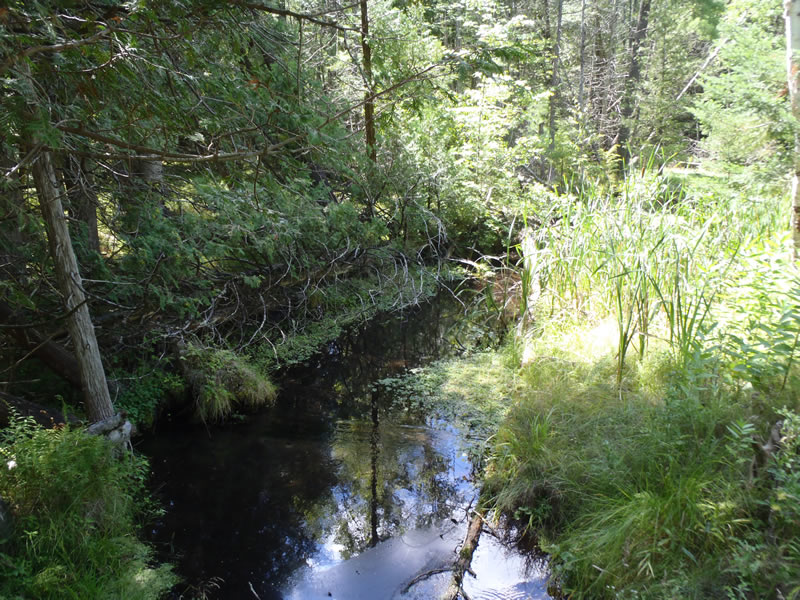
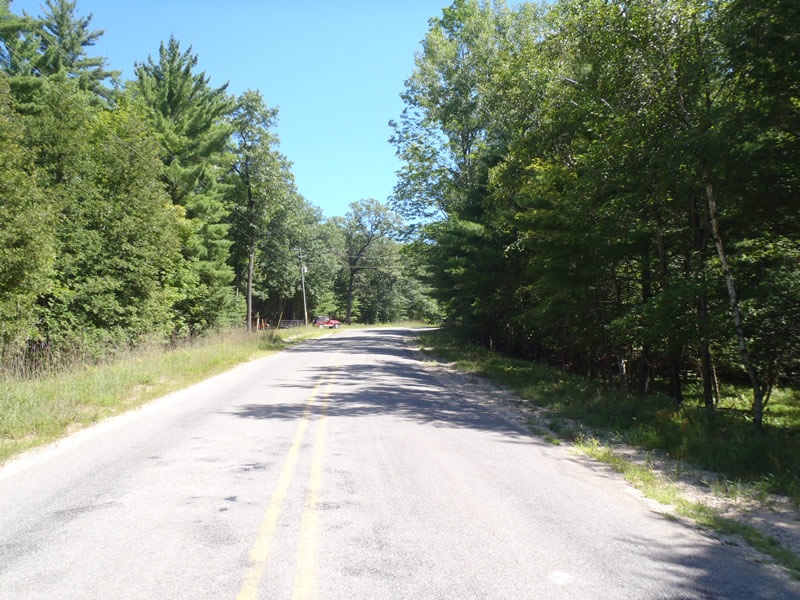
Upstream Conditions
Downstream Conditions
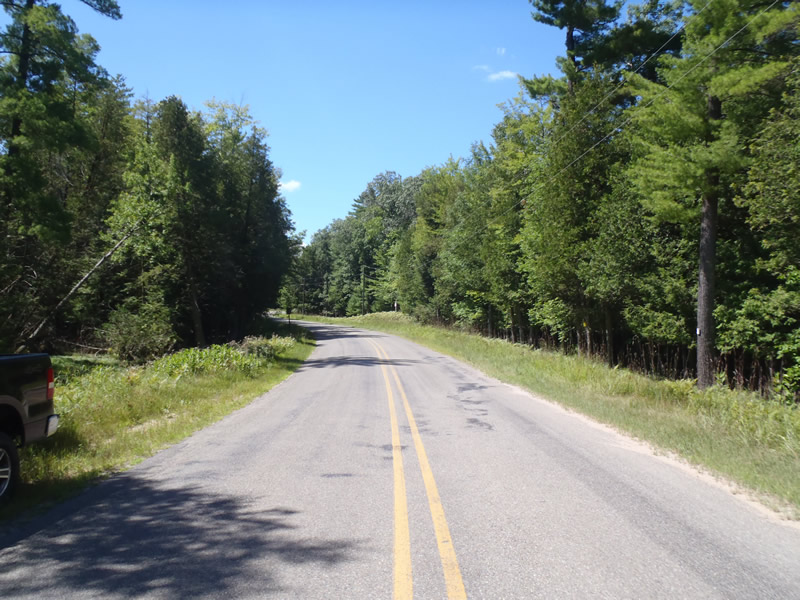
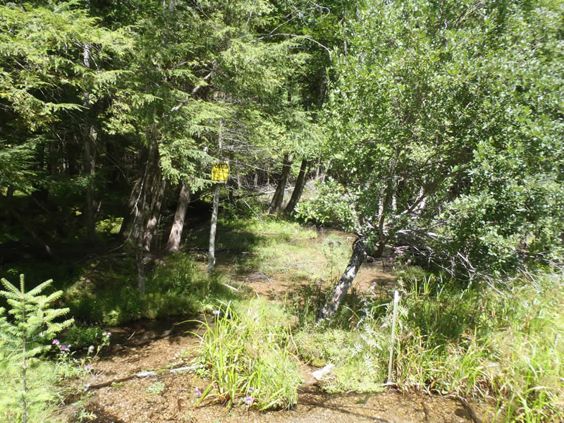
Road Approach - Left
Road Approach - Right
Crossing Information
Type of Crossing: culvert(s)
Number of Structures: 1
Structure Shape: Round
Inlet Type: Projecting
Outlet Type: Freefall into Pool
Structure Material: Metal
Structure Substrate: Gravel
Structure Interior: corrugated
Dimensions of Structure: Length 60 ft.
, Width 2 ft.
, Height 2 ft.
Percentage Plugged:
Inlet: 1% to 25%
Perch Height: 0.2 ft.
Structure Inlet
Water Depth: 0.6 ft.
Embedded Depth of Structure: 0 ft.
Water Velocity*: 2.7 ft./sec.
Structure Outlet
Water Depth: 0.35 ft.
Embedded Depth of Structure: 0 ft.
Water Velocity*: 4.9 ft./sec.
*Water Velocities were measured 0.21 ft. below Surface
(with Meter)
Stream Information
Stream Flow: Less than Bankfull
Scour Pool: Length 5.5 ft.
, Width 6.5 ft.
, Depth 1.54 ft.
Riffle Information
Water Depth: 0.48 ft.
Bankfull Width: 18.2 ft.
Wetted Width: 14.3 ft.
Water Velocity: 0.7 ft./sec.
(Measured with Meter)
Dominant Substrate: Sand
Road Information
Paved
County Road
Road Condition: Fair
Road Width at Culvert: 26 ft.
Location of Low Point: Other
Runoff Path: Roadway
Embankments
Upstream
Fill Depth: 4.7 ft.
Slope: 1:1
Downstream
Fill Depth: 5.3 ft.
Slope: 1:1
Approaches
Left Approach
Length: 207 ft.
Slope: Less Than 1%
Vegetation: Heavy
LS Factor: 0.05
Erosion: 0.0089 tons/year
Right Approach
Length: 1000 ft.
Slope: 6% to 10%
Vegetation: Heavy
LS Factor: 2.05
Erosion: 1.762 tons/year
Erosion Information
Total Erosion at Crossing: 1.7709 tons/year
Summary Information
Fish Passability 0
These non-native species were observerd at this site: Knapweed
�