Road Stream Crossing Site BSAB_BS03
Big Sable River Watershed, Big Sable River
Hamilton Rd
Sauble Twp,
Lake County
Information collected by:
Site Location
GPS Coordinates: 44.0406
, -85.99866
T19N
R14W
Sec 16
Owned by Private
Fish Passability 0
Structure is NOT Perched
Total Erosion: 1.9081 tons/year
Severity: Severe
Year Inventoried: 2011
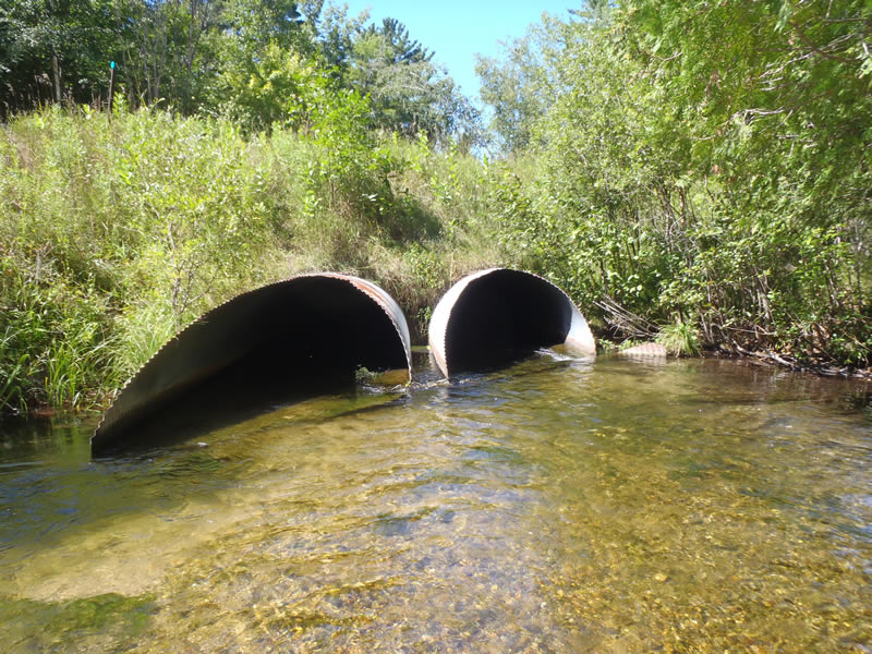
Inlet
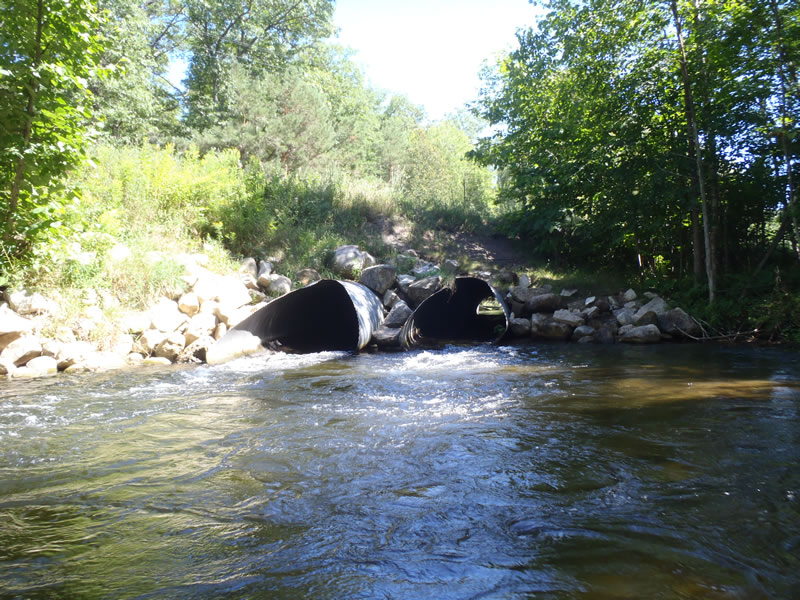
Outlet
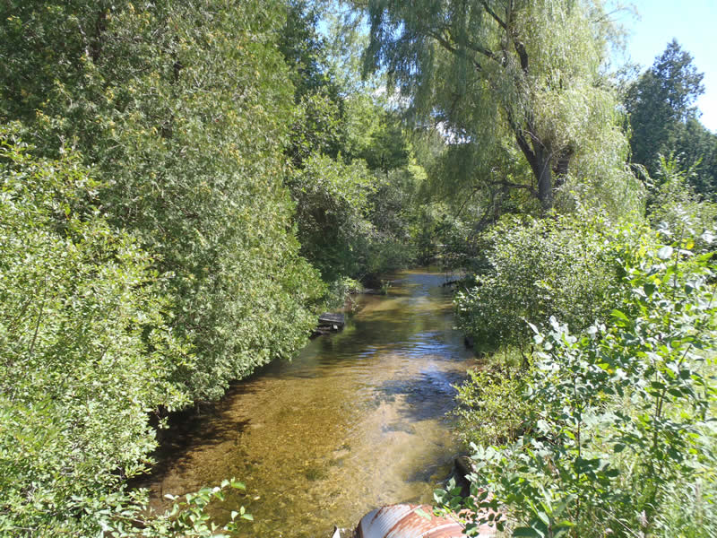
Upstream Conditions
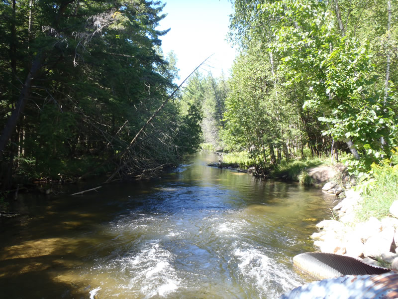
Downstream Conditions
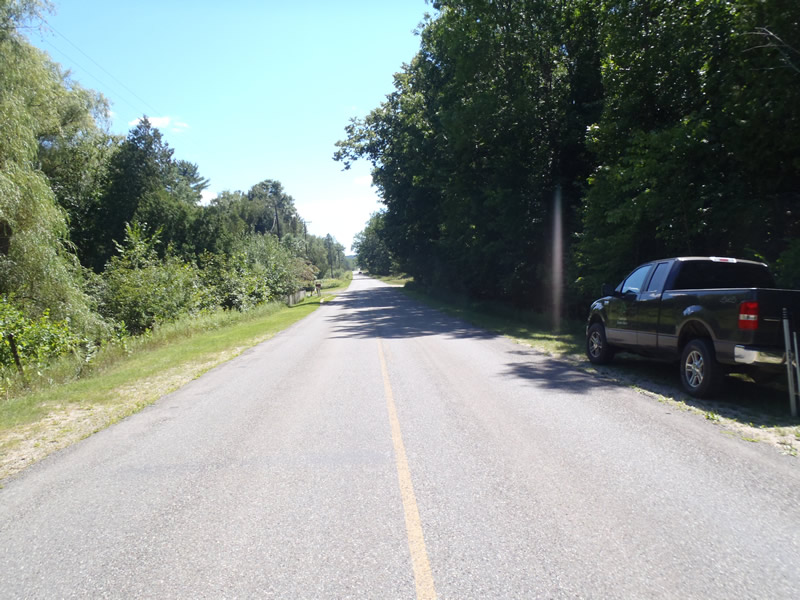
Road Approach - Left
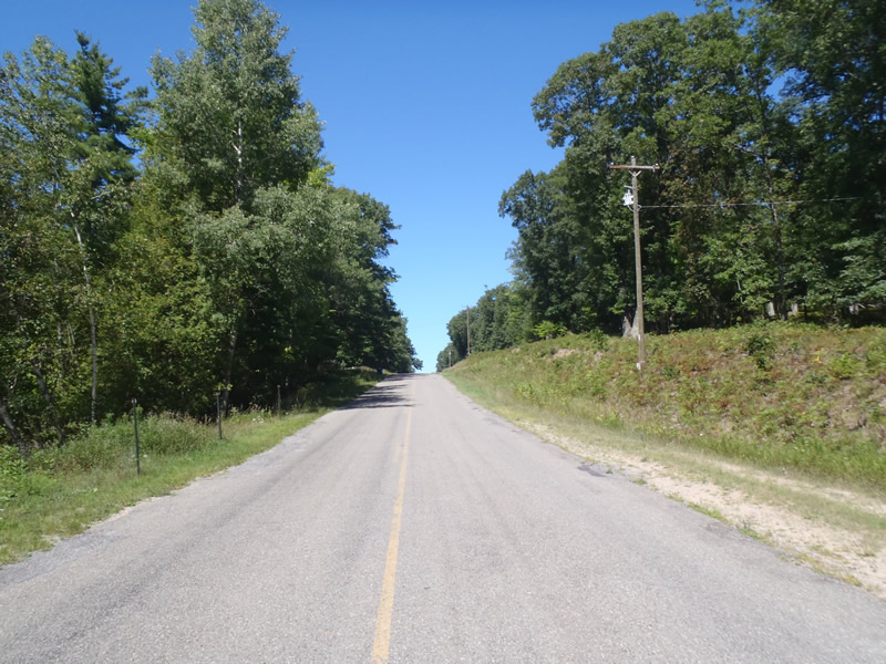
Road Approach - Right
Crossing Information
Type of Crossing: culvert(s)
Number of Structures: 2
Structure Shape: Ellipse
Inlet Type: Mitered
Outlet Type: At Stream Grade
Structure Material: Metal
Structure Substrate: None
General Conditions: Fair
Multiple Culverts/Spans | ||||
Culvert/Span | Width | Length | Height | Material |
1 |
7 ft. |
100 ft. |
4 ft. |
Metal |
2 |
7 ft. |
100 ft. |
4 ft. |
Metal |
Structure Interior: corrugated
Dimensions of Structure: Length 100 ft.
, Width 7 ft.
, Height 4 ft.
Structure is NOT Perched
Structure Inlet
Water Depth: 1.18 ft.
Embedded Depth of Structure: 0 ft.
Water Velocity*: 3.5 ft./sec.
Structure Outlet
Water Depth: 0.6 ft.
Embedded Depth of Structure: 0 ft.
Water Velocity*: 7 ft./sec.
*Water Velocities were measured 0.36 ft. below Surface
(with Meter)
Additional Comments
The inlet of culvert #1 is 0.3 feet above stream grade. The inlet of culvert #2 is 0.5 feet above stream grade. Culvert #1 was used to collect structure data
Stream Information
Stream Flow: Less than Bankfull
Scour Pool: Length 65 ft.
, Width 30 ft.
, Depth 4 ft.
Riffle Information
Water Depth: 0.79 ft.
Bankfull Width: 27.9 ft.
Wetted Width: 29.8 ft.
Water Velocity: 2.8 ft./sec.
(Measured with Meter)
Dominant Substrate: Gravel
Road Information
Paved
County Road
Road Condition: Fair
Road Width at Culvert: 28 ft.
Location of Low Point: Other
Runoff Path: Ditch
Embankments
Upstream
Fill Depth: 6 ft.
Slope: 1:1
Downstream
Fill Depth: 6.3 ft.
Slope: Vertical
Approaches
Left Approach
Length: 228 ft.
Slope: Less Than 1%
Vegetation: Heavy
LS Factor: 0.05
Erosion: 0.0106 tons/year
Right Approach
Length: 1000 ft.
Slope: 6% to 10%
Vegetation: Heavy
LS Factor: 2.05
Erosion: 1.8975 tons/year
Erosion Information
Total Erosion at Crossing: 1.9081 tons/year
Extent of Erosion: Minor
Notes: Minor embankment erosion due to steep slopes and lack of stabilizing vegetation. Some erosion netting has been placed but not completely functional.
Summary Information
Fish Passability 0
Fish Passage is an area of concern for this site.
very high velocity at outlet. the velocity doubled in tube
These non-native species were observerd at this site: Knapweed
�