Road Stream Crossing Site BSAB_BS40
Big Sable River Watershed, Big Sable River
Schoenherr Rd
Meade Twp,
Mason County
Information collected by:
Site Location
GPS Coordinates: 44.12077
, -86.15982
T20N
R15W
Sec 18
Owned by Private
Fish Passability 0.5
Structure is NOT Perched
Total Erosion: 2.4704 tons/year
Severity: Severe
Year Inventoried: 2011
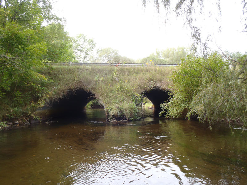
Inlet
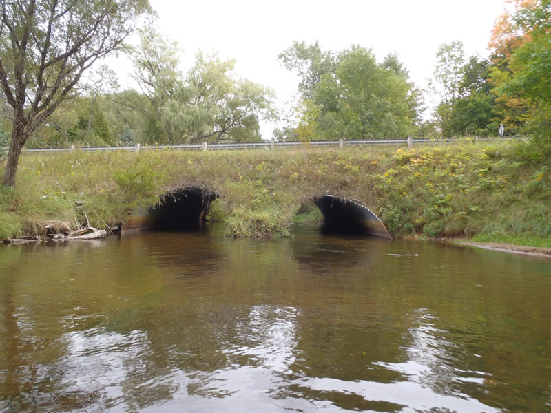
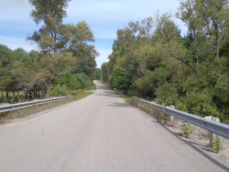
Outlet
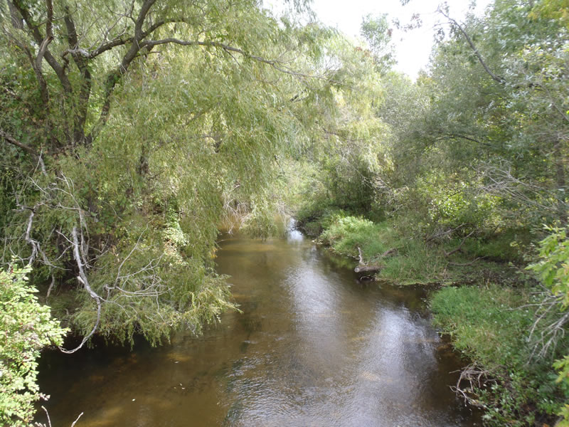
Upstream Conditions
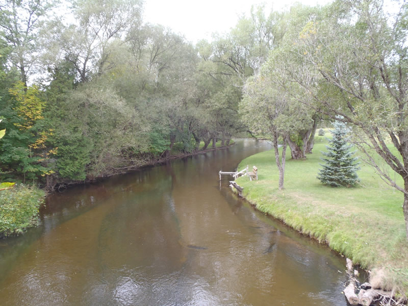
Downstream Conditions
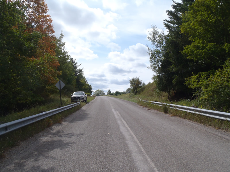
Road Approach - Left
Road Approach - Right
Crossing Information
Type of Crossing: culvert(s)
Number of Structures: 2
Structure Shape: Pipe Arch
Inlet Type: Mitered
Outlet Type: At Stream Grade
Structure Material: Metal
Structure Substrate: Mixture
General Conditions: Good
Multiple Culverts/Spans | ||||
Culvert/Span | Width | Length | Height | Material |
1 |
14.5 ft. |
70 ft. |
9 ft. |
Metal |
2 |
14.5 ft. |
70 ft. |
9 ft. |
Metal |
Structure Interior: corrugated
Dimensions of Structure: Length 70 ft.
, Width 14.5 ft.
, Height 9 ft.
Structure is NOT Perched
Structure Inlet
Water Depth: 1.98 ft.
Embedded Depth of Structure: 0 ft.
Water Velocity*: 2.5 ft./sec.
Structure Outlet
Water Depth: 2.39 ft.
Embedded Depth of Structure: 0 ft.
Water Velocity*: 1.9 ft./sec.
*Water Velocities were measured 1.19 ft. below Surface
(with Meter)
Stream Information
Stream Flow: Less than Bankfull
Scour Pool: Length 60 ft.
, Width 50 ft.
, Depth 4 ft.
Riffle Information
Water Depth: 1.46 ft.
Bankfull Width: 39.1 ft.
Wetted Width: 34.9 ft.
Water Velocity: 1.9 ft./sec.
(Measured with Meter)
Dominant Substrate: Gravel
Road Information
Paved
County Road
Road Condition: Good
Road Width at Culvert: 25 ft.
Location of Low Point: Other
Runoff Path: Roadway
Embankments
Upstream
Fill Depth: 6.8 ft.
Slope: Vertical
Downstream
Fill Depth: 7.7 ft.
Slope: Vertical
Approaches
Left Approach
Length: 1000 ft.
Slope: 6% to 10%
Vegetation: Heavy
LS Factor: 2.05
Erosion: 1.6942 tons/year
Right Approach
Length: 245 ft.
Slope: Less Than 1%
Vegetation: Heavy
LS Factor: 0.05
Erosion: 0.0101 tons/year
Erosion Information
Total Erosion at Crossing: 2.4704 tons/year
Extent of Erosion: Moderate
Erosion is occurring and corrective actions can be installed to address the problem.
Notes: Foot traffic in combination with road runoff is causing moderate streambank erosion. Scour pool erosion is also present.
Location of Erosion | Erosion Dimensions | Eroded Material | Material Eroded | Total Erosion | ||
facing downstream | Length | Width | Depth | Reaching Stream? | (tons/year) | |
Left Downstream Streambank |
38 ft. |
4 ft. |
3 ft. |
yes |
Sandy Loam |
0.7661 |
Summary Information
Fish Passability 0.5
�