Road Stream Crossing Site BSAB_BS41
Big Sable River Watershed, Tributary of Big Sable River
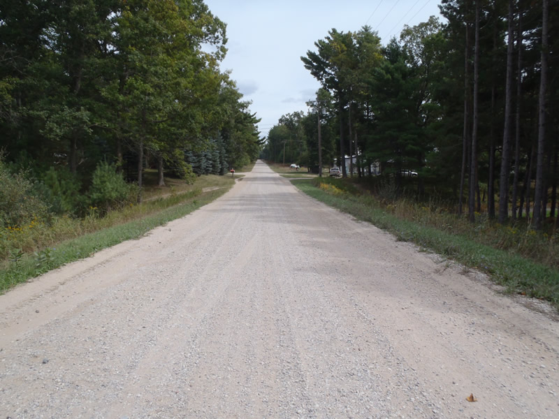
Hasenbank Rd
Freesoil Twp,
Mason County
Information collected by:
Site Location
GPS Coordinates: 44.12469
, -86.19255
T20N
R16W
Sec 14
Owned by Private
Fish Passability 0
Perch Height: 0.8 ft.
Total Erosion: 4.0476 tons/year
Severity: Severe
Year Inventoried: 2011

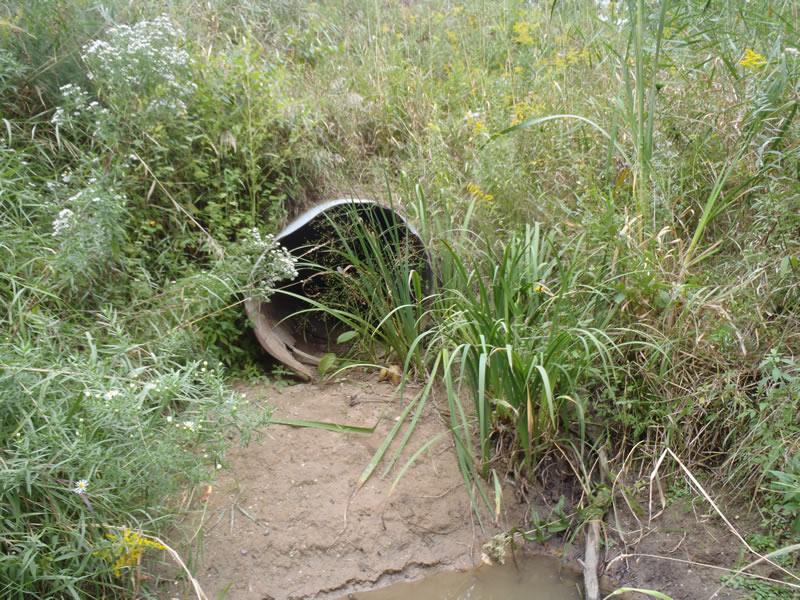
Inlet
Outlet
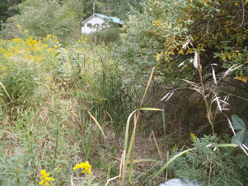
Upstream Conditions
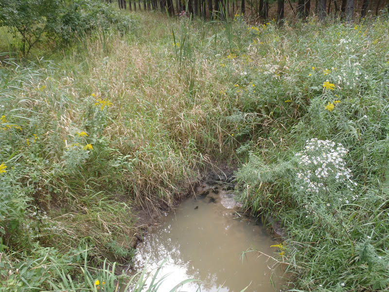
Downstream Conditions
Road Approach - Left
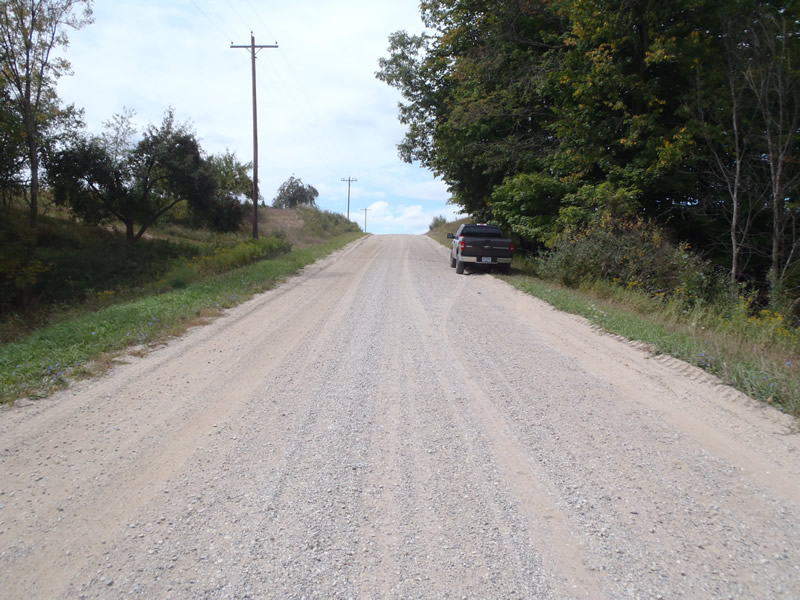
Road Approach - Right
Crossing Information
Type of Crossing: culvert(s)
Number of Structures: 1
Structure Shape: Round
Inlet Type: Projecting
Outlet Type: Other
Structure Material: Metal
Structure Substrate: None
General Conditions: Poor
Structure Interior: corrugated
Structure is Rusted through
Dimensions of Structure: Length 80 ft.
, Width 3 ft.
, Height 3 ft.
Perch Height: 0.8 ft.
Water Depth: 0 ft.
Embedded Depth of Structure: 0 ft.
Water Velocity*: 0 ft./sec.
Water Depth: 0 ft.
Embedded Depth of Structure: 0 ft.
Water Velocity*: 0 ft./sec.
*Water Velocities were measured at the Surface
(with Meter)
Additional Comments
1) Intermittent stream dry at the time of data collection
2) the inlet is about 1.5 feet above stream grade
3) the stream exits the culvert as a cascade over clay
Stream Information
Stream Flow: None
Scour Pool: Length 15 ft.
, Width 9 ft.
, Depth 3.5 ft.
Riffle Information
Water Depth: 0 ft.
Bankfull Width: 11 ft.
Wetted Width: 0 ft.
Water Velocity: 0 ft./sec.
(Measured with Meter)
Dominant Substrate: Organics
Road Information
Gravel
County Road
Road Condition: Fair
Road Width at Culvert: 22 ft.
Location of Low Point: Other
Runoff Path: Roadway
Embankments
Upstream
Fill Depth: 5.8 ft.
Slope: 1:1.5
Downstream
Fill Depth: 6.5 ft.
Slope: 1:1
Approaches
Left Approach
Length: 209 ft.
Slope: Less Than 1%
Vegetation: Heavy
LS Factor: 0.05
Erosion: 0.0633 tons/year
Right Approach
Length: 423 ft.
Slope: 6% to 10%
Vegetation: Heavy
LS Factor: 1.554
Erosion: 3.9843 tons/year
Erosion Information
Total Erosion at Crossing: 4.0476 tons/year
Extent of Erosion: Minor
Notes: Scour pool erosion
Summary Information
Fish Passability 0
�