Road Stream Crossing Site BSAB_BS42
Big Sable River Watershed, Big Sable River
Stephans Rd
Freesoil Twp,
Mason County
Information collected by:
Site Location
GPS Coordinates: 44.11768
, -86.20074
T20N
R16W
Sec 22
Owned by Private
Fish Passability 0
Structure is NOT Perched
Total Erosion: 2.7107 tons/year
Severity: Severe
Year Inventoried: 2011
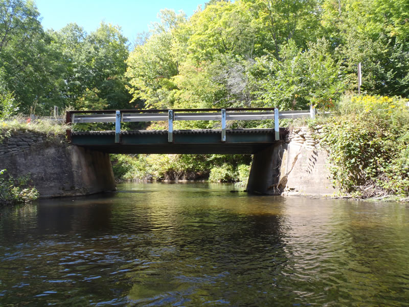
Inlet
Outlet
Upstream Conditions
Downstream Conditions
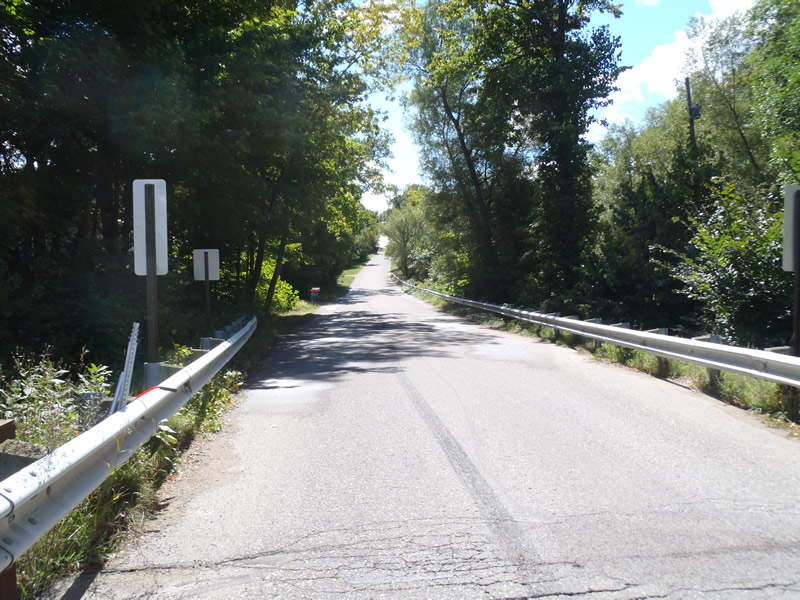
Road Approach - Left
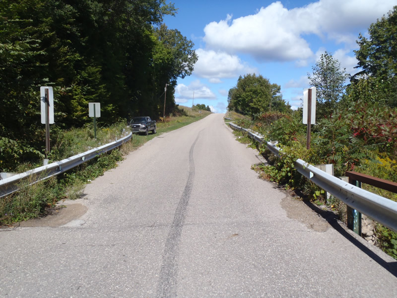
Road Approach - Right
Crossing Information
Type of Crossing: Bridge
Structure Shape: Open Bottom Square/Rectangle
Inlet Type: Wingwall 30-70 Degree
Outlet Type: At Stream Grade
Structure Material: Concrete
Structure Substrate: Mixture
General Conditions: Fair
Structure Interior: smooth
Dimensions of Structure: Length 20 ft.
, Width 25 ft.
, Height 10 ft.
Structure is NOT Perched
Structure Inlet
Water Depth: 3.7 ft.
Embedded Depth of Structure: 0 ft.
Water Velocity*: 1.5 ft./sec.
Structure Outlet
Water Depth: 5 ft.
Embedded Depth of Structure: 0 ft.
Water Velocity*: 3.2 ft./sec.
*Water Velocities were measured 2.22 ft. below Surface
(with Meter)
Additional Comments
1) V-notch rock dam built midway through the structure likely to create swimming hole
2) pool depth obtained via local fisherman based on spear length
Stream Information
Stream Flow: Less than Bankfull
Scour Pool: Length 54 ft.
, Width 36 ft.
, Depth 12 ft.
Riffle Information
Water Depth: 1.71 ft.
Bankfull Width: 66.5 ft.
Wetted Width: 53.4 ft.
Water Velocity: 1.6 ft./sec.
(Measured with Meter)
Dominant Substrate: Gravel
Road Information
Paved
County Road
Road Condition: Fair
Road Width at Culvert: 20 ft.
Location of Low Point: Other
Runoff Path: Ditch
Fill Depth: 0 ft.
Slope: Vertical
Fill Depth: 0 ft.
Slope: Vertical
Approaches
Left Approach
Length: 1000 ft.
Slope: 6% to 10%
Vegetation: Heavy
LS Factor: 2.05
Erosion: 1.3554 tons/year
Right Approach
Length: 1000 ft.
Slope: 6% to 10%
Vegetation: Heavy
LS Factor: 2.05
Erosion: 1.3554 tons/year
Erosion Information
Total Erosion at Crossing: 2.7107 tons/year
Extent of Erosion: Moderate
Notes: Large scour pool due to rock dam in structure
Summary Information
Fish Passability 0
Erosion is an area of concern for this site.
A future visit to this site is recommended. to assess fish passage
These non-native species were observerd at this site: Knapweed
�