Road Stream Crossing Site BSAB_BS47
Big Sable River Watershed, Big Sable River
CSX Transportation
Freesoil Twp,
Mason County
Information collected by:
Site Location
GPS Coordinates: 44.1191
, -86.22017
T20N
R16W
Sec 22
Owned by Private
Fish Passability 0
Structure is NOT Perched
Total Erosion: 0.2755 tons/year
Severity: Severe
Year Inventoried: 2011
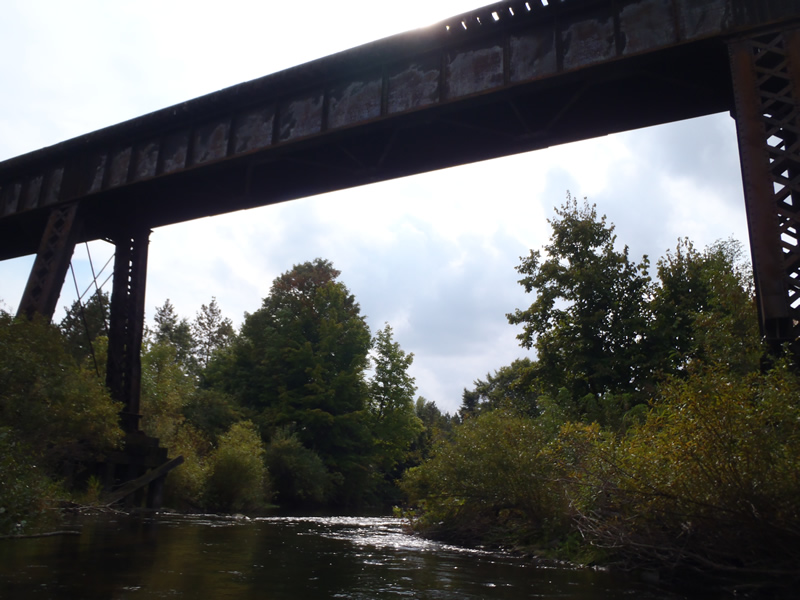
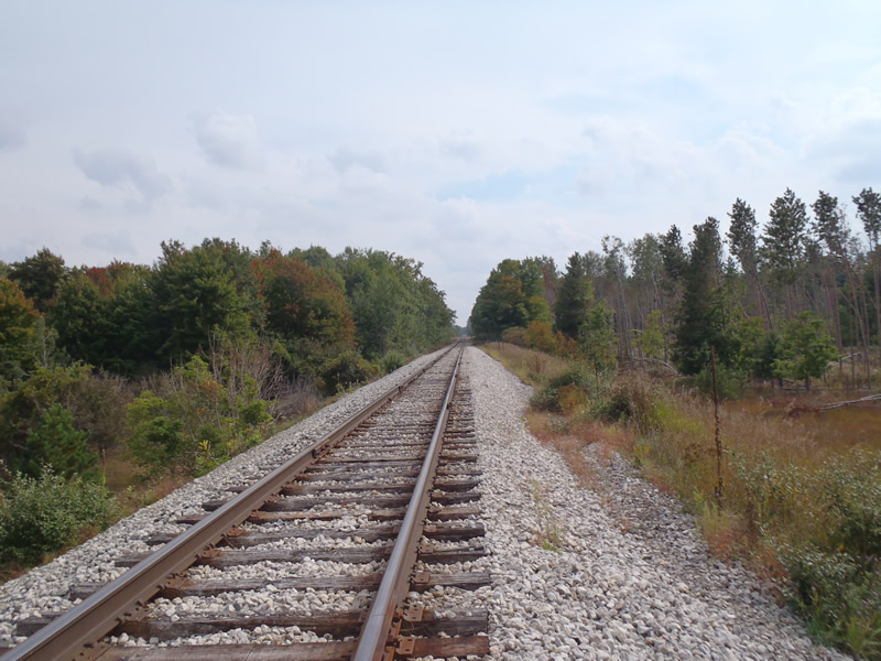
Inlet
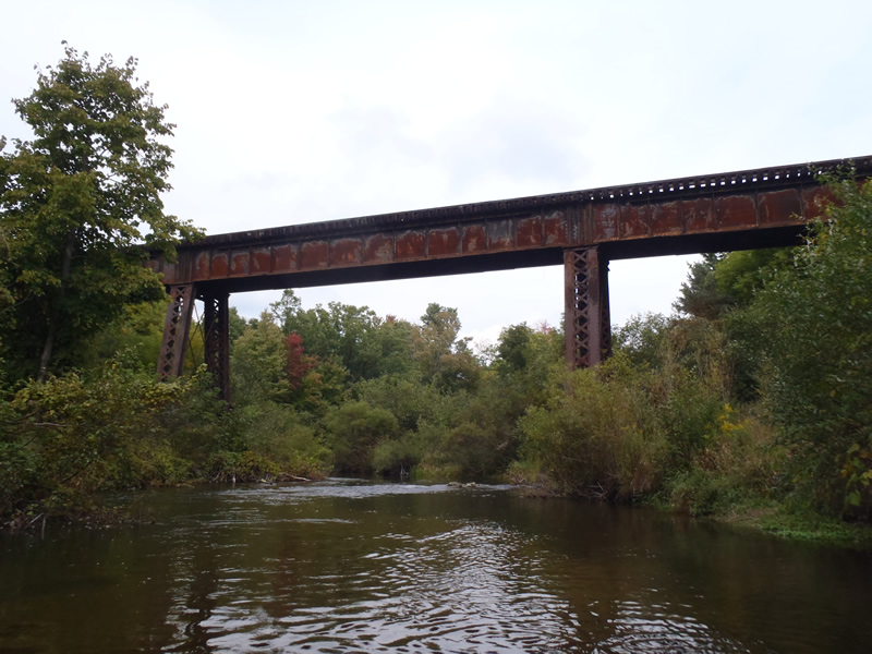
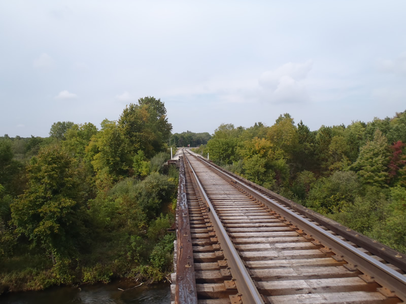
Outlet
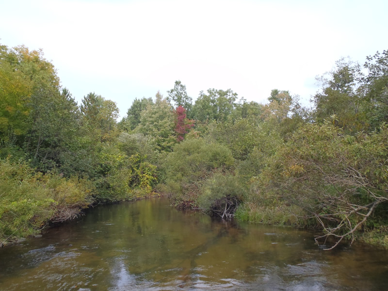
Upstream Conditions
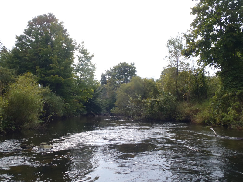
Downstream Conditions
Road Approach - Left
Road Approach - Right
Crossing Information
Type of Crossing: Bridge
Structure Shape: Open Bottom Square/Rectangle
Inlet Type: Other
Outlet Type: At Stream Grade
Structure Material: Metal
Structure Substrate: Mixture
General Conditions: Good
Structure Interior: smooth
Dimensions of Structure: Length 19 ft.
, Width 55 ft.
, Height 40 ft.
Structure is NOT Perched
Structure Inlet
Water Depth: 2.55 ft.
Embedded Depth of Structure: 0 ft.
Water Velocity*: 2.9 ft./sec.
Structure Outlet
Water Depth: 2.3 ft.
Embedded Depth of Structure: 0 ft.
Water Velocity*: 3.2 ft./sec.
*Water Velocities were measured 1.38 ft. below Surface
(with Meter)
Additional Comments
Partial rock dam on right bank in structure
Stream Information
Stream Flow: Less than Bankfull
Riffle Information
Water Depth: 1.76 ft.
Bankfull Width: 47.3 ft.
Wetted Width: 43.6 ft.
Water Velocity: 1.8 ft./sec.
(Measured with Meter)
Dominant Substrate: Sand
Road Information
Gravel
Other Road
Road Condition: Good
Road Width at Culvert: 10 ft.
Location of Low Point: At Stream
Runoff Path: Ditch
Fill Depth: 0 ft.
Slope: Vertical
Fill Depth: 0 ft.
Slope: Vertical
Approaches
Left Approach
Length: 1000 ft.
Slope: Less Than 1%
Vegetation: Heavy
LS Factor: 0.05
Erosion: 0.1377 tons/year
Right Approach
Length: 1000 ft.
Slope: Less Than 1%
Vegetation: Heavy
LS Factor: 0.05
Erosion: 0.1377 tons/year
Erosion Information
Total Erosion at Crossing: 0.2755 tons/year
Summary Information
Fish Passability 0
These non-native species were observerd at this site: Knapweed
�