Road Stream Crossing Site BSAB_BS48
Big Sable River Watershed, Big Sable River
Custer Rd
Freesoil Twp,
Mason County
Information collected by:
Site Location
GPS Coordinates: 44.11898
, -86.22108
T20N
R16W
Sec 21
Owned by Private
Structure is NOT Perched
Total Erosion: 1.0352 tons/year
Severity: Restored
Year Inventoried: 2011
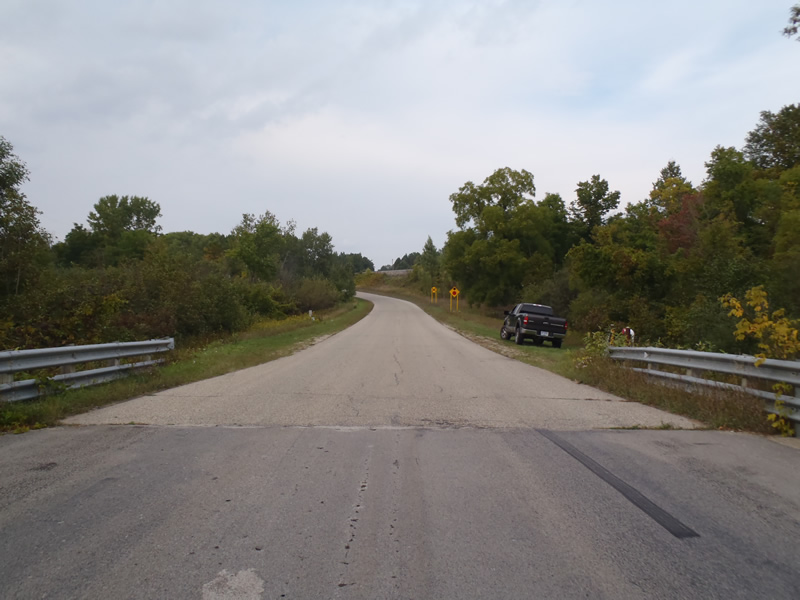
Inlet
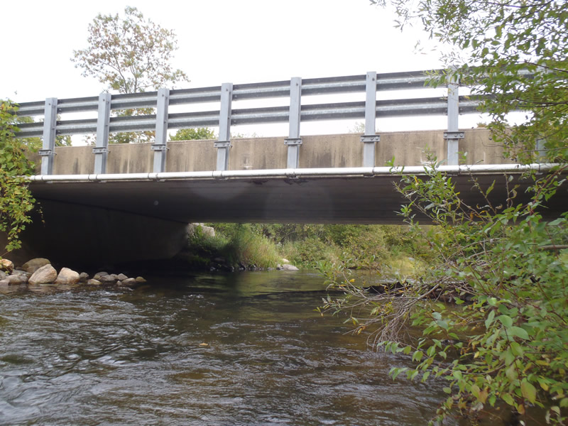
Outlet
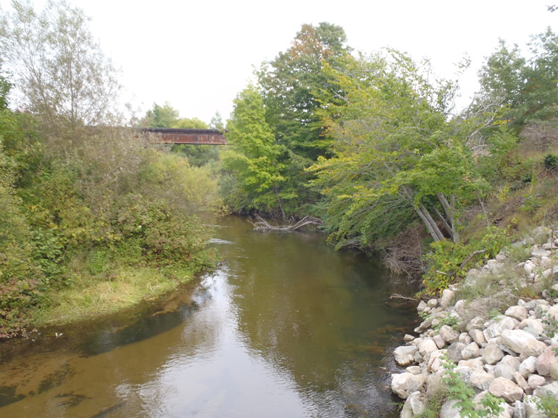
Upstream Conditions
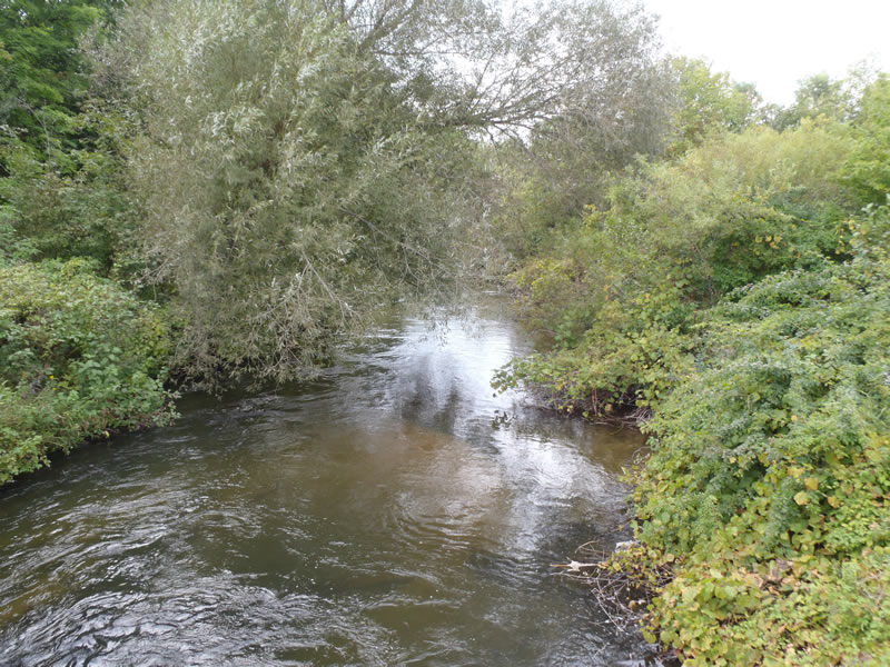
Downstream Conditions
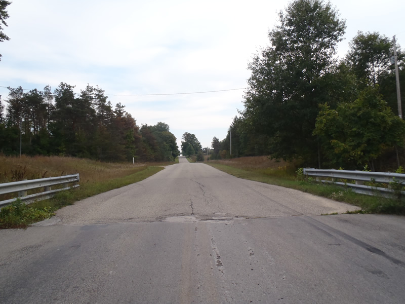
Road Approach - Left
Road Approach - Right
Crossing Information
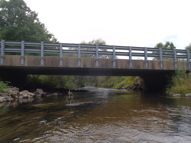
Type of Crossing: Bridge
Structure Shape: Open Bottom Square/Rectangle
Inlet Type: Wingwall 10-30 Degree
Outlet Type: At Stream Grade
Structure Material: Concrete
Structure Substrate: Mixture
General Conditions: Good
Structure Interior: smooth
Dimensions of Structure: Length 34 ft.
, Width 55 ft.
, Height 8 ft.
Structure is NOT Perched
Structure Inlet
Water Depth: 3.3 ft.
Embedded Depth of Structure: 0 ft.
Water Velocity*: 2.8 ft./sec.
Structure Outlet
Water Depth: 3.2 ft.
Embedded Depth of Structure: 0 ft.
Water Velocity*: 3.8 ft./sec.
*Water Velocities were measured 1.92 ft. below Surface
(with Meter)
Stream Information
Stream Flow: Less than Bankfull
Riffle Information
Water Depth: 1.76 ft.
Bankfull Width: 47.3 ft.
Wetted Width: 43.6 ft.
Water Velocity: 1.8 ft./sec.
(Measured with Meter)
Dominant Substrate: Sand
Road Information
Paved
County Road
Road Condition: Good
Road Width at Culvert: 34 ft.
Location of Low Point: Other
Runoff Path: Ditch
Fill Depth: 0 ft.
Slope: 1:1
Fill Depth: 0 ft.
Slope: 1:1
Approaches
Left Approach
Length: 1000 ft.
Slope: 1% to 5%
Vegetation: Heavy
LS Factor: 0.57
Erosion: 0.6407 tons/year
Right Approach
Length: 663 ft.
Slope: 1% to 5%
Vegetation: Heavy
LS Factor: 0.529
Erosion: 0.3945 tons/year
Erosion Information
Total Erosion at Crossing: 1.0352 tons/year
Extent of Erosion: Minor
Summary Information
Erosion is an area of concern for this site.
These non-native species were observerd at this site: Knapweed
�