Road Stream Crossing Site BSAB_BS55
Big Sable River Watershed, Big Sable River
Darr Rd
Freesoil Twp,
Mason County
Information collected by:
Site Location
GPS Coordinates: 44.12085
, -86.26158
T20N
R16W
Sec 19
Owned by Private
Structure is NOT Perched
Total Erosion: 2.3385 tons/year
Severity: Restored
Year Inventoried: 2011
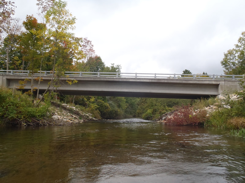
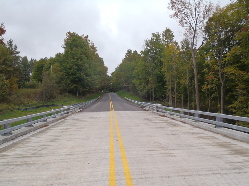
Inlet
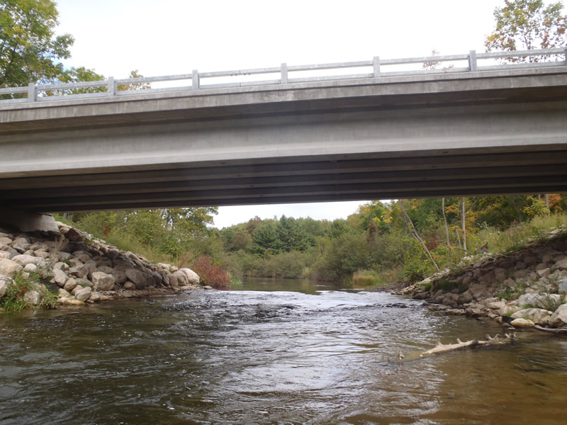
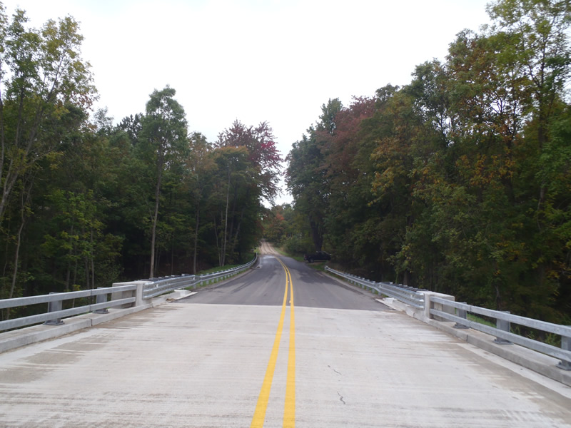
Outlet
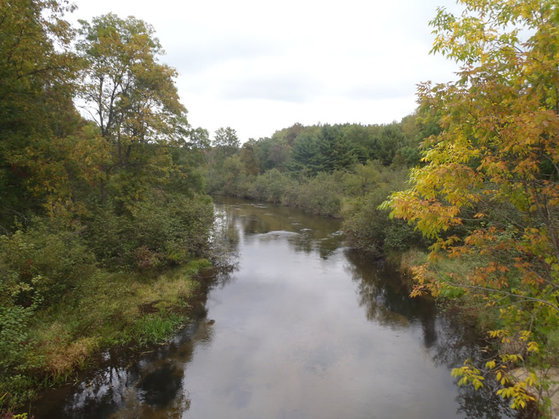
Upstream Conditions
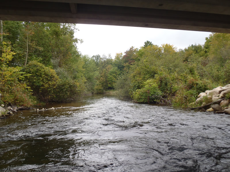
Downstream Conditions
Road Approach - Left
Road Approach - Right
Crossing Information
Type of Crossing: Bridge
Structure Shape: Open Bottom Square/Rectangle
Inlet Type: Other
Outlet Type: At Stream Grade
Structure Material: Concrete
Structure Substrate: Mixture
General Conditions: Good
Structure Interior: smooth
Dimensions of Structure: Length 30 ft.
, Width 90 ft.
, Height 8 ft.
Structure is NOT Perched
Structure Inlet
Water Depth: 3.45 ft.
Embedded Depth of Structure: 0 ft.
Water Velocity*: 3.5 ft./sec.
Structure Outlet
Water Depth: 3.5 ft.
Embedded Depth of Structure: 0 ft.
Water Velocity*: 3.7 ft./sec.
*Water Velocities were measured 2.07 ft. below Surface
(with Meter)
Stream Information
Stream Flow: Less than Bankfull
Scour Pool: Length 30 ft.
, Width 25 ft.
, Depth 6 ft.
Riffle Information
Water Depth: 2.25 ft.
Bankfull Width: 59.2 ft.
Wetted Width: 58.1 ft.
Water Velocity: 1.8 ft./sec.
(Measured with Meter)
Dominant Substrate: Sand
Road Information
Paved
County Road
Road Condition: Good
Road Width at Culvert: 27 ft.
Location of Low Point: Other
Runoff Path: Ditch
Fill Depth: 0 ft.
Slope: Vertical
Fill Depth: 0 ft.
Slope: Vertical
Approaches
Left Approach
Length: 1000 ft.
Slope: 6% to 10%
Vegetation: Heavy
LS Factor: 2.05
Erosion: 1.8298 tons/year
Right Approach
Length: 1000 ft.
Slope: 1% to 5%
Vegetation: Heavy
LS Factor: 0.57
Erosion: 0.5088 tons/year
Erosion Information
Total Erosion at Crossing: 2.3385 tons/year
Extent of Erosion: Moderate
Summary Information
Erosion is an area of concern for this site.
�