Road Stream Crossing Site BSAB_BS66
Big Sable River Watershed, Tributary of Big Sable River
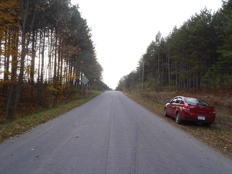
Treml Rd
Grant Twp,
Mason County
Information collected by:
Site Location
GPS Coordinates: 44.12292
, -86.28154
T20N
R17W
Sec 13
Owned by Private
Fish Passability 0.5
Structure is NOT Perched
Total Erosion: 1.9121 tons/year
Severity: Moderate
Year Inventoried: 2011
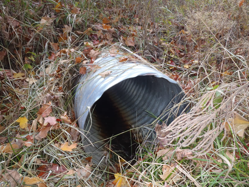
Inlet
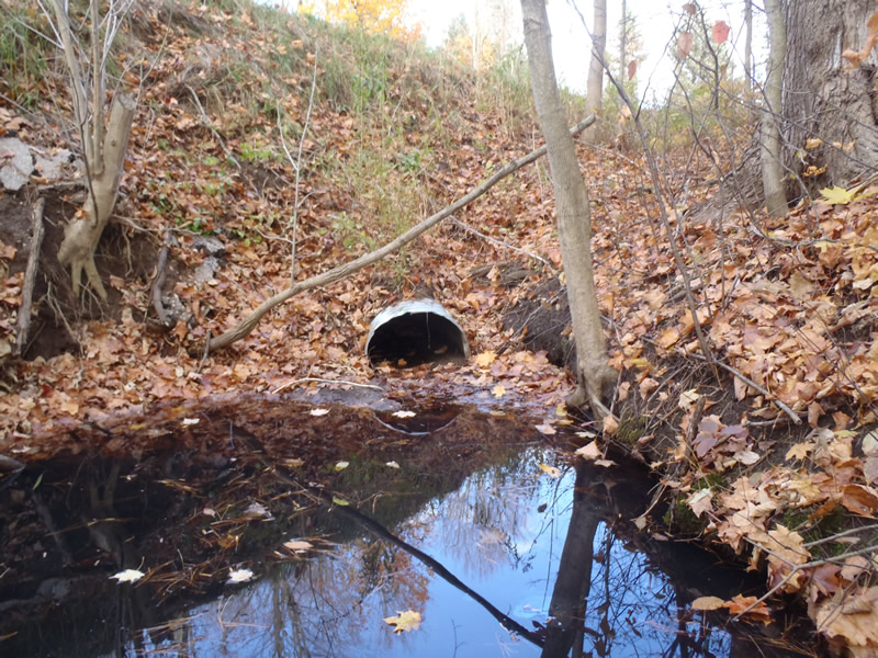
Outlet
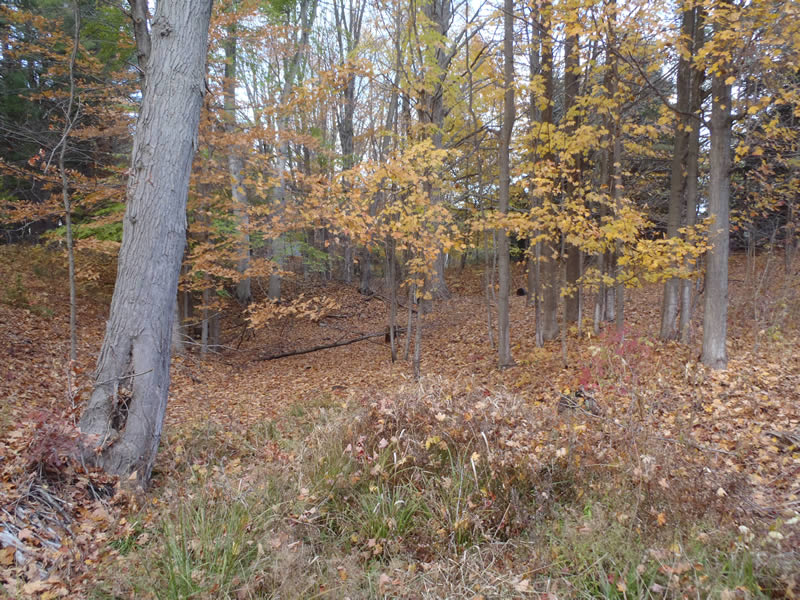
Upstream Conditions

Downstream Conditions
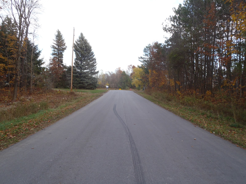
Road Approach - Left
Road Approach - Right
Crossing Information
Type of Crossing: culvert(s)
Number of Structures: 1
Structure Shape: Round
Inlet Type: Projecting
Outlet Type: At Stream Grade
Structure Material: Metal
Structure Substrate: Sand
General Conditions: Good
Structure Interior: corrugated
Dimensions of Structure: Length 80 ft.
, Width 2 ft.
, Height 2 ft.
Percentage Plugged:
Outlet: 26% to 50%
Structure is NOT Perched
Water Depth: 0 ft.
Embedded Depth of Structure: 0 ft.
Water Velocity*: 0 ft./sec.
Water Depth: 0 ft.
Embedded Depth of Structure: 0 ft.
Water Velocity*: 0 ft./sec.
*Water Velocities were measured at the Surface
(with Meter)
Stream Information
Stream Flow: None
Scour Pool: Length 20 ft.
, Width 10 ft.
, Depth 3 ft.
Riffle Information
Water Depth: 0 ft.
Bankfull Width: 8 ft.
Wetted Width: 0 ft.
Water Velocity: 0 ft./sec.
(Measured with Meter)
Dominant Substrate: Sand
Road Information
Paved
County Road
Road Condition: Good
Road Width at Culvert: 25 ft.
Location of Low Point: At Stream
Runoff Path: Ditch
Embankments
Upstream
Fill Depth: 5.3 ft.
Slope: 1:1
Downstream
Fill Depth: 8.7 ft.
Slope: Vertical
Approaches
Left Approach
Length: 513 ft.
Slope: 1% to 5%
Vegetation: Heavy
LS Factor: 0.503
Erosion: 0.2131 tons/year
Right Approach
Length: 1000 ft.
Slope: 6% to 10%
Vegetation: Heavy
LS Factor: 2.05
Erosion: 1.6942 tons/year
Erosion Information
Total Erosion at Crossing: 1.9121 tons/year
Extent of Erosion: Minor
Erosion is occurring and corrective actions can be installed to address the problem.
Notes: Minor embankment erosion due to road runoff and lack of stabilizing vegetation. Minor scour erosion at outlet
Location of Erosion | Erosion Dimensions | Eroded Material | Material Eroded | Total Erosion | ||
facing downstream | Length | Width | Depth | Reaching Stream? | (tons/year) | |
Right Downstream Embankment |
5 ft. |
9.5 ft. |
1 ft. |
yes |
Sandy Loam |
0.0048 |
Summary Information
Fish Passability 0.5
These non-native species were observerd at this site: Knapweed
�