Road Stream Crossing Site BSAB_BS68
Big Sable River Watershed, Tributary of Big Sable River
Treml Rd
Grant Twp,
Mason County
Information collected by:
Site Location
GPS Coordinates: 44.12298
, -86.28947
T20N
R17W
Sec 13
Owned by Private
Fish Passability 0.9
Structure is NOT Perched
Total Erosion: 1.5674 tons/year
Severity: Moderate
Year Inventoried: 2011
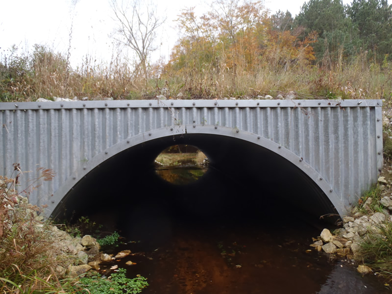
Inlet
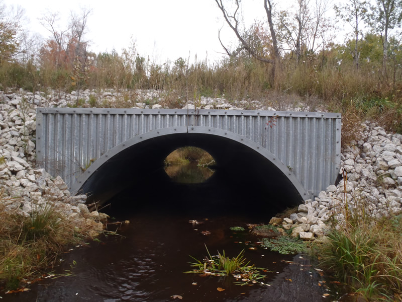
Outlet
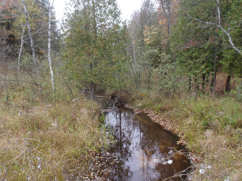
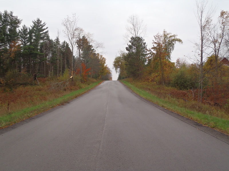
Upstream Conditions
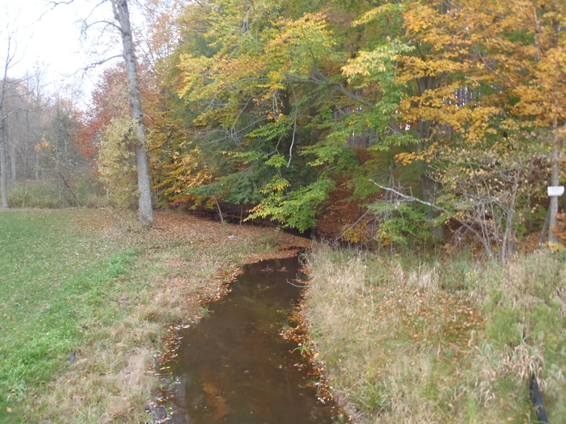
Downstream Conditions
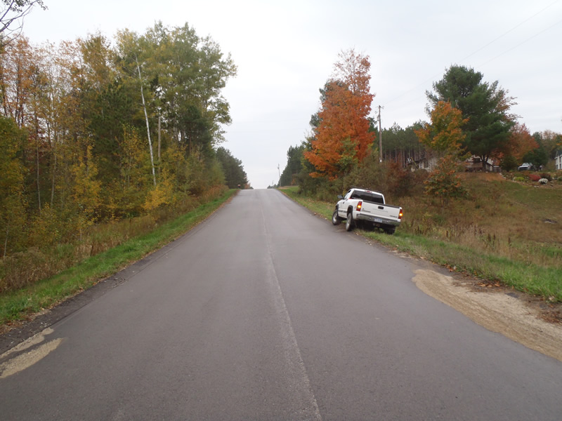
Road Approach - Left
Road Approach - Right
Crossing Information
Type of Crossing: culvert(s)
Number of Structures: 1
Structure Shape: Open Bottom Arch
Inlet Type: Headwall
Outlet Type: At Stream Grade
Structure Material: Metal
Structure Substrate: Mixture
General Conditions: Good
Structure Interior: corrugated
Dimensions of Structure: Length 70 ft.
, Width 14 ft.
, Height 5.5 ft.
Structure is NOT Perched
Structure Inlet
Water Depth: 0.46 ft.
Embedded Depth of Structure: 0 ft.
Water Velocity*: 0.8 ft./sec.
Structure Outlet
Water Depth: 0.29 ft.
Embedded Depth of Structure: 0 ft.
Water Velocity*: 1.7 ft./sec.
*Water Velocities were measured 0.18 ft. below Surface
(with Meter)
Stream Information
Stream Flow: Less than Bankfull
Scour Pool: Length 16 ft.
, Width 6.7 ft.
, Depth 1.6 ft.
Riffle Information
Water Depth: 0.46 ft.
Bankfull Width: 10.9 ft.
Wetted Width: 10.2 ft.
Water Velocity: 0.5 ft./sec.
(Measured with Meter)
Dominant Substrate: Sand
Road Information
Paved
County Road
Road Condition: Good
Road Width at Culvert: 24 ft.
Location of Low Point: At Stream
Runoff Path: Ditch
Embankments
Upstream
Fill Depth: 5 ft.
Slope: 1:1.5
Downstream
Fill Depth: 5.1 ft.
Slope: 1:1
Approaches
Left Approach
Length: 567 ft.
Slope: 6% to 10%
Vegetation: Heavy
LS Factor: 1.705
Erosion: 0.7672 tons/year
Right Approach
Length: 585 ft.
Slope: 6% to 10%
Vegetation: Heavy
LS Factor: 1.724
Erosion: 0.8003 tons/year
Erosion Information
Total Erosion at Crossing: 1.5674 tons/year
Summary Information
Fish Passability 0.9
�