Road Stream Crossing Site BSAB_BS71
Big Sable River Watershed, Big Sable River
La Salle
Grant Twp,
Mason County
Information collected by:
Site Location
GPS Coordinates: 44.1116
, -86.30009
T20N
R17W
Sec 24
Owned by Private
Structure is NOT Perched
Total Erosion: 4.0661 tons/year
Severity: Restored
Year Inventoried: 2011
Inlet
Outlet
Upstream Conditions

Downstream Conditions
Road Approach - Left
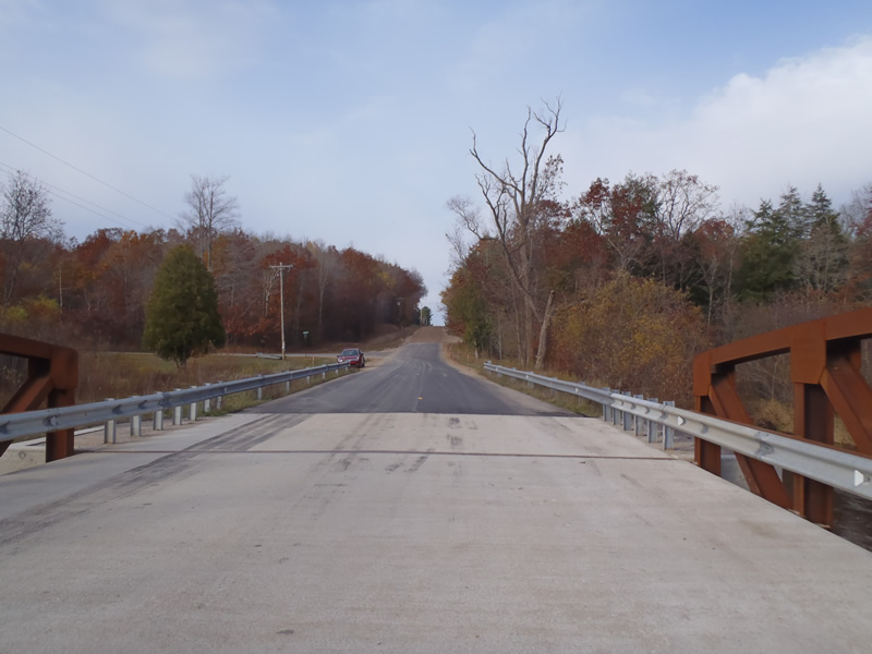
Road Approach - Right
Crossing Information
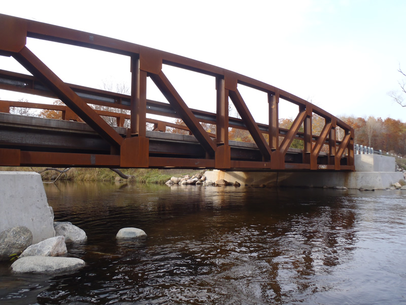
Type of Crossing: Bridge
Structure Shape: Open Bottom Square/Rectangle
Inlet Type: Other
Outlet Type: At Stream Grade
Structure Material: Metal
Structure Substrate: Sand
General Conditions: New
Structure Interior: smooth
Dimensions of Structure: Length 30 ft.
, Width 62 ft.
, Height 7 ft.
Structure is NOT Perched
Structure Inlet
Water Depth: 5 ft.
Embedded Depth of Structure: 0 ft.
Water Velocity*: 1.8 ft./sec.
Structure Outlet
Water Depth: 3.2 ft.
Embedded Depth of Structure: 0 ft.
Water Velocity*: 1.9 ft./sec.
*Water Velocities were measured 1.92 ft. below Surface
(with Meter)
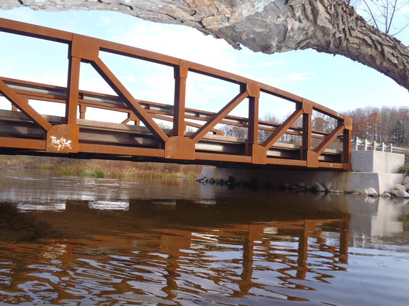
Additional Comments
The nearest to the crossing 455 ft of the right approach is paved and the remain approach is gravel
Stream Information
Stream Flow: Less than Bankfull
Upstream Pond: Length 10 ft.
, Width 15 ft.
, Depth 5 ft.
Riffle Information
Water Depth: 1.94 ft.
Bankfull Width: 75 ft.
Wetted Width: 69 ft.
Water Velocity: 1.9 ft./sec.
(Measured with Meter)
Dominant Substrate: Sand
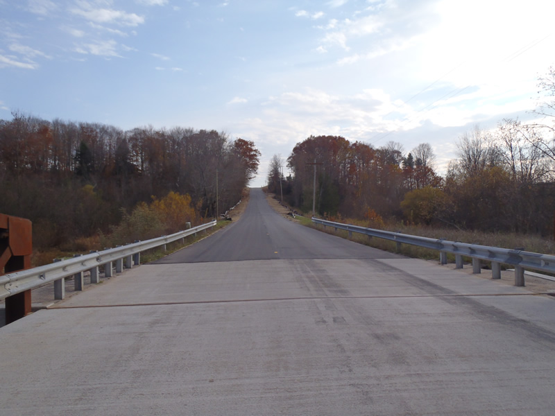
Road Information
Paved
County Road
Road Condition: Good
Road Width at Culvert: 30 ft.
Location of Low Point: Other
Runoff Path: Ditch
Fill Depth: 0 ft.
Slope: 1:1.5
Fill Depth: 0 ft.
Slope: 1:1.5
Approaches
Left Approach
Length: 1000 ft.
Slope: 6% to 10%
Vegetation: Heavy
LS Factor: 2.05
Erosion: 2.0331 tons/year
Right Approach
Length: 1000 ft.
Slope: 6% to 10%
Vegetation: Heavy
LS Factor: 2.05
Erosion: 2.0331 tons/year
Erosion Information
Total Erosion at Crossing: 4.0661 tons/year
Extent of Erosion: Moderate
Summary Information
Erosion is an area of concern for this site.
�