Road Stream Crossing Site CHAR_CX05
Lake Charlevoix Watershed, Lake Charlevoix
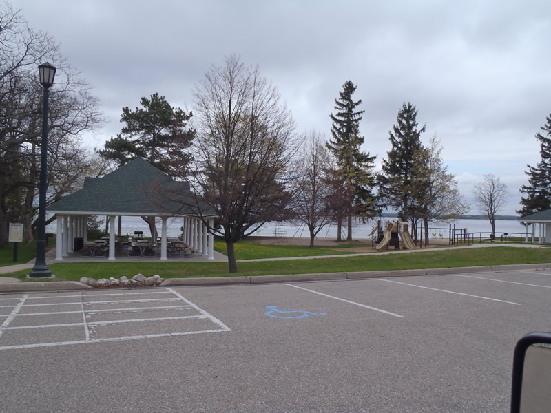
Chicago Ave
Charlevoix Twp,
Charlevoix County
Information collected by:
Site Location
GPS Coordinates: 45.31825
, -85.24303
T34N
R08W
Sec 26
Owned by Private
Other
Other
Total Erosion: 1.2268 tons/year
Severity: Moderate
Year Inventoried: 2011
Site ID
Contact Point
Contact Point
Road Approach - Left
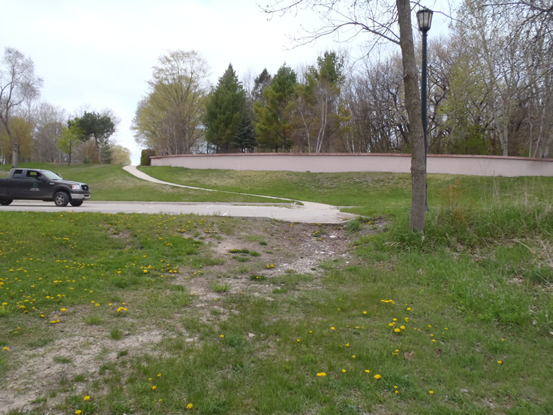
Road Approach - Left
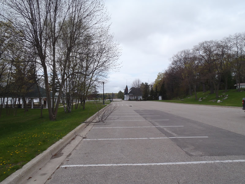
Road Approach - Right
Road Approach - Right
Crossing Information
Type of Crossing: Contact Point
General Conditions: Good
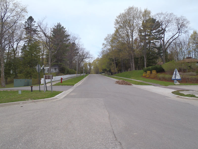
Road Information
Paved
Town Road
Road Condition: Good
Road Width at Culvert: 58 ft.
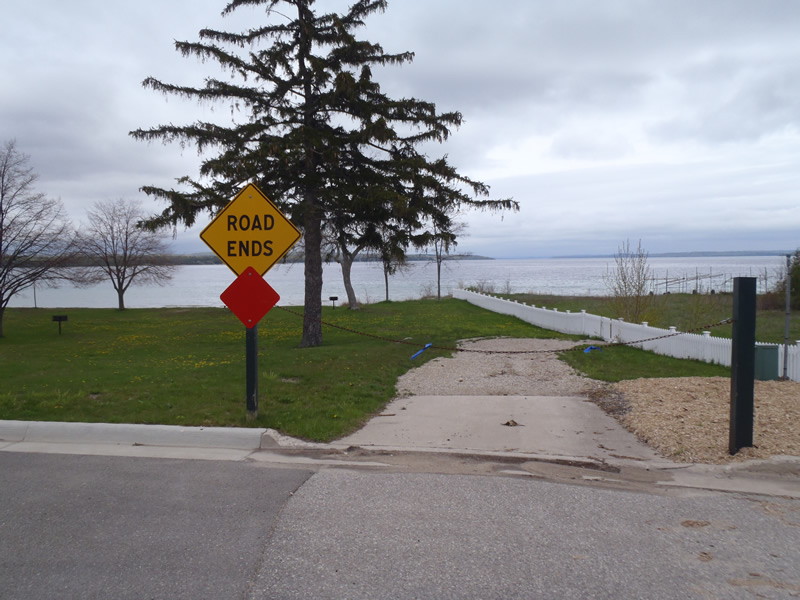
Location of Low Point: At Stream
Approaches
Left Approach
Length: 795 ft.
Slope: 1% to 5%
Vegetation: Partial
LS Factor: 0.748
Erosion: 1.1406 tons/year
Right Approach
Length: 750 ft.
Slope: Less Than 1%
Vegetation: Partial
LS Factor: 0.06
Erosion: 0.0863 tons/year
Erosion Information
Total Erosion at Crossing: 1.2268 tons/year
Extent of Erosion: Minor
Notes: Erosion caused by flow from parking lot combined with foot traffic.
Summary Information
�