Road Stream Crossing Site CHAR_CX06
Lake Charlevoix Watershed, Round Lake
Burns St
Charlevoix Twp,
Charlevoix County
Information collected by:
Site Location
GPS Coordinates: 45.31924
, -85.25246
T34N
R08W
Sec 26
Owned by Private
Year Inventoried: 2011
Site ID
Contact Point
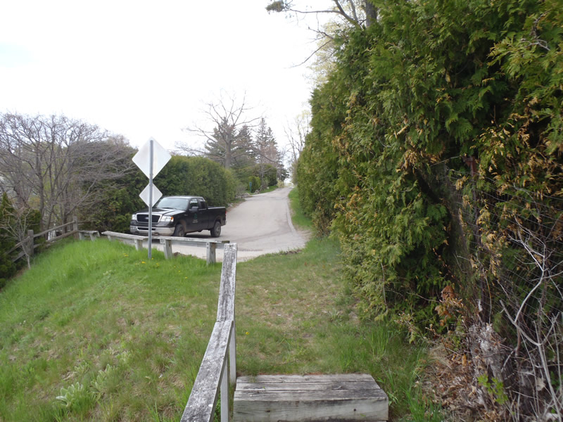
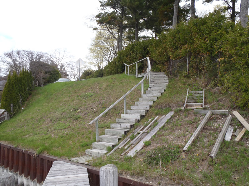
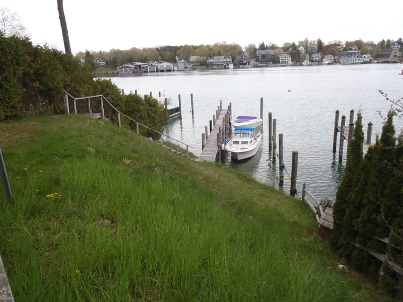
Road Approach - Left
Crossing Information
Type of Crossing: Contact Point
General Conditions: Good
Road Information
Paved
Town Road
Road Condition: Fair
Location of Low Point: At Stream
Runoff Path: Roadway
Fill Depth: 30 ft.
Slope: Vertical
Length: 537 ft.
Slope: More Than 10%
Vegetation: Partial
Erosion Information
Summary Information
�