Road Stream Crossing Site RIF_OG58
Rifle River Watershed, Rifle River (main stream)
State Road (F24)
Churchill Twp,
Ogemaw County
Information collected by:
Site Location
GPS Coordinates: 44.31324
, -84.07001
T22N
R3E
Sec 9
Fish Passability 1
Structure is NOT Perched
Severity: Minor
Year Inventoried: 2012
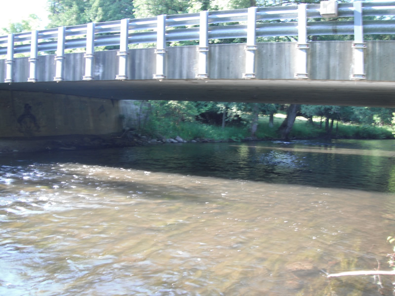
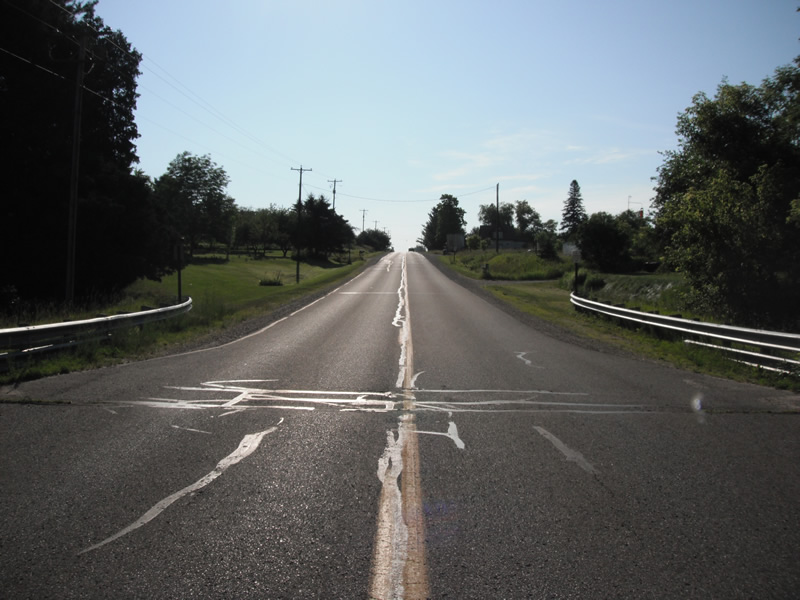
Inlet
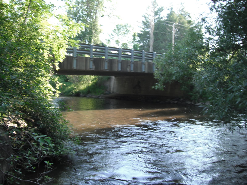
Outlet
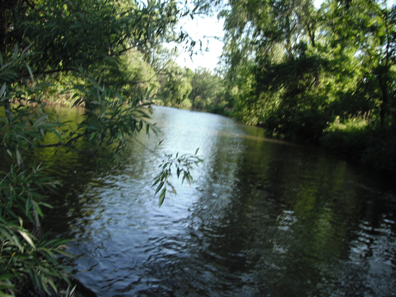
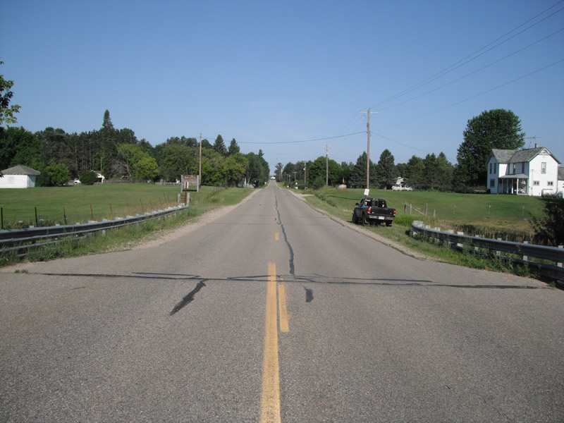
Upstream Conditions
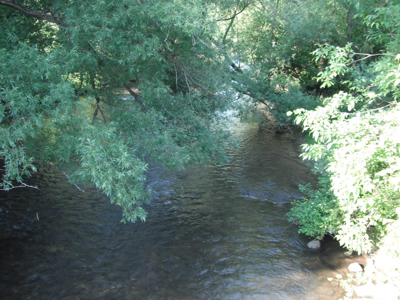
Downstream Conditions
Road Approach - Left
Road Approach - Right
Crossing Information
Type of Crossing: Bridge
Structure Shape: Square/Rectangle
Inlet Type: Other
Outlet Type: At Stream Grade
Structure Material: Concrete
Structure Substrate: Rock
General Conditions: Good
Structure Interior: smooth
Dimensions of Structure: Length 40 ft.
, Width 72 ft.
, Height 10 ft.
Structure is NOT Perched
Structure Inlet
Water Depth: 1.4 ft.
Water Velocity*: 1.7 ft./sec.
Structure Outlet
Water Depth: 1.6 ft.
Water Velocity*: 1.8 ft./sec.
*Water Velocities were measured at the Surface
(with Float Test)
Additional Comments
cattle close to stream
Stream Information
Stream Flow: Less than 1/2 Bankfull
Scour Pool: Length 0 ft.
, Width 0 ft.
, Depth 0 ft.
Upstream Pond: Length 0 ft.
, Width 0 ft.
, Depth 0 ft.
Riffle Information
Water Depth: 1.4 ft.
Bankfull Width: 57 ft.
Wetted Width: 54 ft.
Water Velocity: 1.9 ft./sec.
(Measured with Float Test)
Dominant Substrate: Cobble
Road Information
Paved
County Road
Road Condition: Good
Road Width at Culvert: 38 ft.
Location of Low Point: Other
Runoff Path: Ditch
Embankments
Upstream
Fill Depth: 3 ft.
Slope: Vertical
Downstream
Fill Depth: 3 ft.
Slope: Vertical
Length: 735 ft.
Slope: 6% to 10%
Vegetation: Heavy
Vegetation: Heavy
Erosion Information
Extent of Erosion: Stabilized
Erosion is occurring and corrective actions can be installed to address the problem.
Summary Information
Fish Passability 1
�