Road Stream Crossing Site RIF_OG11
Rifle River Watershed, Andrews Creek
Reasner Rd
Rose Twp,
Ogemaw County
Information collected by:
Site Location
GPS Coordinates: 44.4423
, -84.08638
T24N
R3E
Sec 28
Fish Passability 0.5
Structure is NOT Perched
Total Erosion: 3.795 tons/year
Severity: Severe
Year Inventoried: 2012
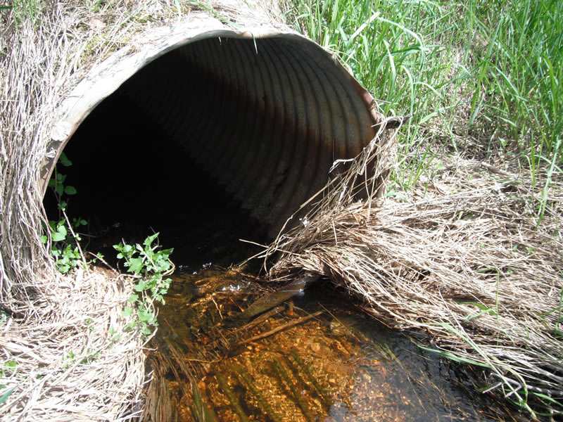
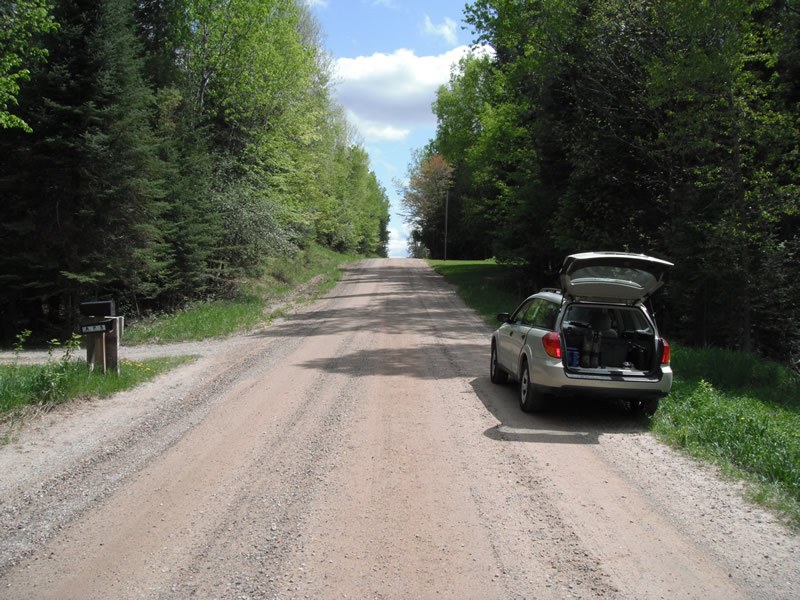
Inlet
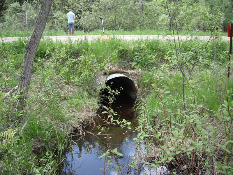
Outlet
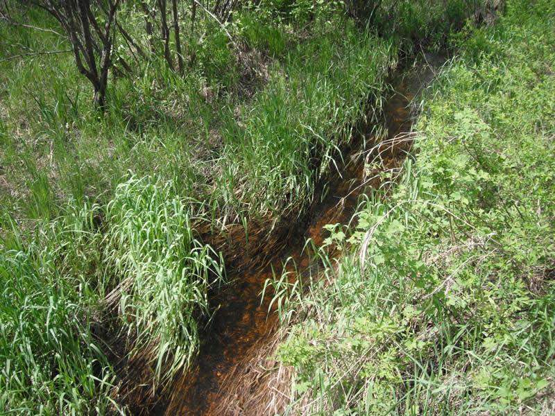
Upstream Conditions
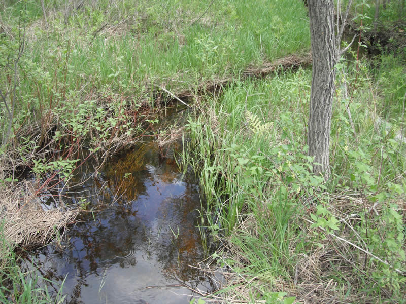
Downstream Conditions
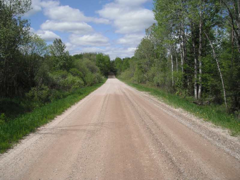
Road Approach - Left
Road Approach - Right
Crossing Information
Type of Crossing: culvert(s)
Number of Structures: 1
Structure Shape: Round
Inlet Type: Projecting
Outlet Type: At Stream Grade
Structure Material: Metal
Structure Substrate: None
General Conditions: Poor
Structure Interior: corrugated
Dimensions of Structure: Length 32 ft.
, Width 3 ft.
, Height 3.1 ft.
Structure is NOT Perched
Structure Inlet
Water Depth: 0.5 ft.
Embedded Depth of Structure: 0 ft.
Water Velocity*: 1.6 ft./sec.
Structure Outlet
Water Depth: 1 ft.
Embedded Depth of Structure: 0.1 ft.
Water Velocity*: 0.4 ft./sec.
*Water Velocities were measured 0.7 ft. below Surface
(with Meter)
Stream Information
Stream Flow: Bankfull
Scour Pool: Length 16.4 ft.
, Width 7.3 ft.
, Depth 0.9 ft.
Upstream Pond: Length 11.5 ft.
, Width 11 ft.
Riffle Information
Water Depth: 1 ft.
Bankfull Width: 5.9 ft.
Wetted Width: 3.5 ft.
Water Velocity: 0.5 ft./sec.
(Measured with Meter)
Dominant Substrate: Gravel
Road Information
Gravel
County Road
Road Condition: Good
Road Width at Culvert: 21 ft.
Location of Low Point: At Stream
Runoff Path: Ditch
Embankments
Upstream
Fill Depth: 2 ft.
Slope: 1:2
Downstream
Fill Depth: 2 ft.
Slope: 1:2
Approaches
Left Approach
Length: 1000 ft.
Slope: 1% to 5%
Vegetation: Heavy
LS Factor: 0.57
Erosion: 3.2975 tons/year
Right Approach
Length: 200 ft.
Slope: 1% to 5%
Vegetation: Heavy
LS Factor: 0.43
Erosion: 0.4975 tons/year
Erosion Information
Total Erosion at Crossing: 3.795 tons/year
Summary Information
Fish Passability 0.5
�