Road Stream Crossing Site RIF_OG67
Rifle River Watershed, Campbell Creek
Finerty Rd
West Branch Twp,
Ogemaw County
Information collected by:
Site Location
GPS Coordinates: 44.29133
, -84.13769
T22N
R2E
Sec 24
Fish Passability 0.5
Structure is NOT Perched
Total Erosion: 5.539 tons/year
Severity: Severe
Year Inventoried: 2012
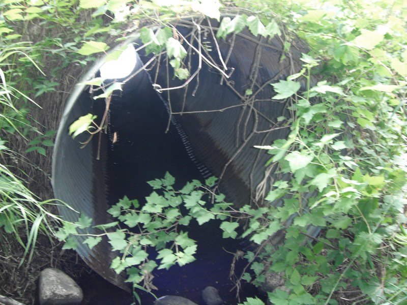
Inlet
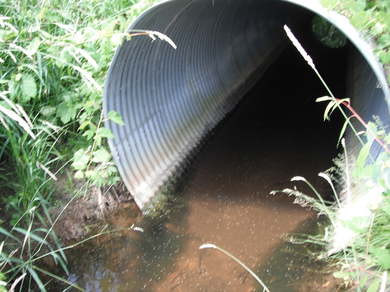
Outlet
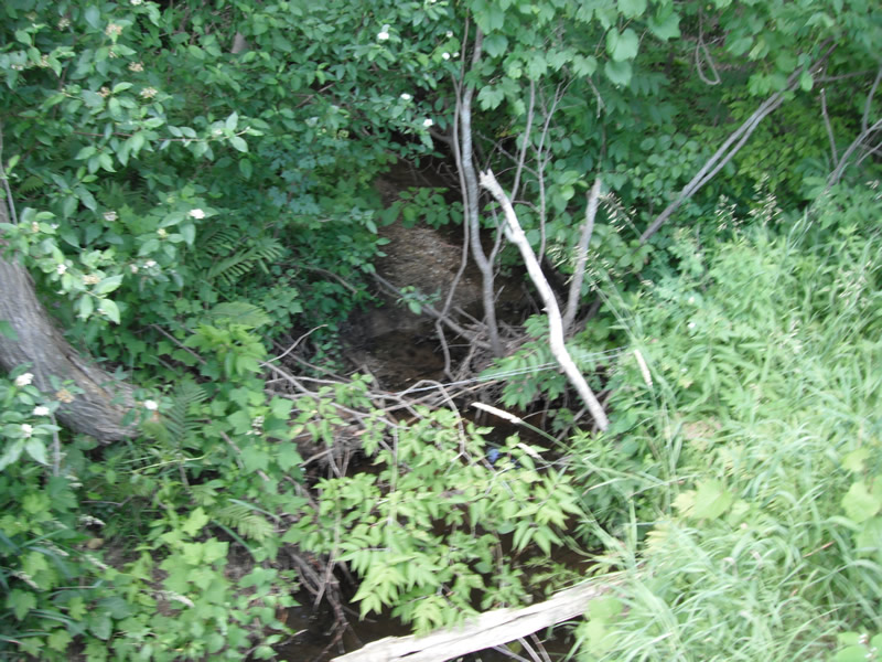
Upstream Conditions
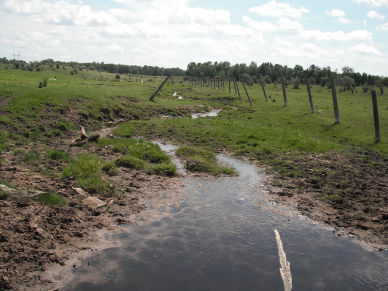
Downstream Conditions
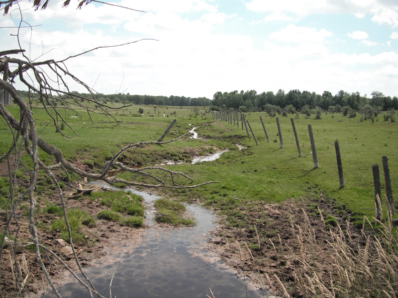
Downstream Conditions
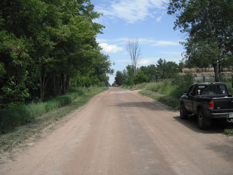
Road Approach - Left
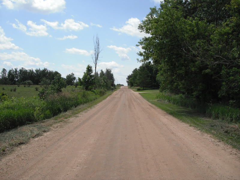
Road Approach - Right
Crossing Information
Type of Crossing: culvert(s)
Number of Structures: 1
Structure Shape: Round
Inlet Type: Projecting
Outlet Type: At Stream Grade
Structure Material: Metal
Structure Substrate: None
General Conditions: Fair
Structure Interior: corrugated
Dimensions of Structure: Length 40 ft.
, Width 4.9 ft.
, Height 5.2 ft.
Structure is NOT Perched
Structure Inlet
Water Depth: 0.4 ft.
Embedded Depth of Structure: 0 ft.
Water Velocity*: 0 ft./sec.
Structure Outlet
Water Depth: 0.7 ft.
Embedded Depth of Structure: 0.1 ft.
Water Velocity*: 0 ft./sec.
*Water Velocities were measured at the Surface
(with Float Test)
Stream Information
Stream Flow: Less than 1/2 Bankfull
Scour Pool: Length 25 ft.
, Width 12.5 ft.
, Depth 1.1 ft.
Upstream Pond: Length 15.1 ft.
, Width 6.2 ft.
Riffle Information
Water Depth: 0.1 ft.
Bankfull Width: 3.3 ft.
Wetted Width: 2.3 ft.
Water Velocity: 0.2 ft./sec.
(Measured with Float Test)
Dominant Substrate: Gravel
Road Information
Gravel
County Road
Road Condition: Fair
Road Width at Culvert: 19 ft.
Location of Low Point: At Stream
Runoff Path: Ditch
Embankments
Upstream
Fill Depth: 0.5 ft.
Slope: More than 1:2
Downstream
Fill Depth: 0 ft.
Slope: More than 1:2
Approaches
Left Approach
Length: 963 ft.
Slope: 1% to 5%
Vegetation: Heavy
LS Factor: 0.566
Erosion: 2.8544 tons/year
Right Approach
Length: 909 ft.
Slope: 1% to 5%
Vegetation: Heavy
LS Factor: 0.561
Erosion: 2.6687 tons/year
Erosion Information
Total Erosion at Crossing: 5.539 tons/year
Extent of Erosion: Minor
Notes: erosion is stabilizing by grasses growing over top of erosion, however down stream of crossing cattle are in the stream
Location of Erosion | Erosion Dimensions | Eroded Material | Material Eroded | Total Erosion | ||
facing downstream | Length | Width | Depth | Reaching Stream? | (tons/year) | |
Right Upstream |
6.9 ft. |
2.2 ft. |
1.4 ft. |
yes |
Sand |
0.0106 |
Left Upstream |
6.9 ft. |
2 ft. |
0.7 ft. |
yes |
Sand |
0.0053 |
Summary Information
Fish Passability 0.5
A future visit to this site is recommended. cattle in stream downstream of crossing
�