Road Stream Crossing Site RIF_OG4
Rifle River Watershed, Bixby Creek
Heath Rd
Rose Twp,
Ogemaw County
Information collected by:
Site Location
GPS Coordinates: 44.43579
, -84.131
T24N
R2E
Sec 25/36
Fish Passability 0.5
Total Erosion: 0.7104 tons/year
Severity: Moderate
Year Inventoried: 2012
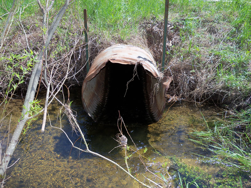
Inlet

Outlet
Upstream Conditions
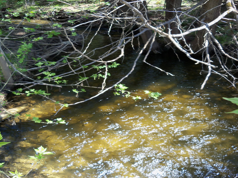
Downstream Conditions
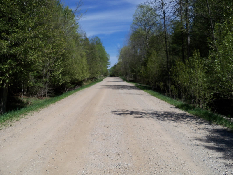
Road Approach - Left
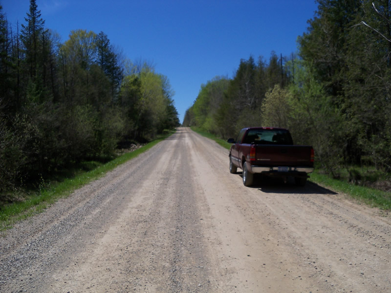
Road Approach - Right
Crossing Information
Type of Crossing: culvert(s)
Number of Structures: 1
Structure Shape: Round
Inlet Type: Projecting
Outlet Type: Freefall into Pool
Structure Material: Metal
Structure Substrate: None
General Conditions: Poor
Structure Interior: corrugated
Dimensions of Structure: Length 48 ft.
, Width 3 ft.
, Height 3 ft.
Structure Inlet
Water Depth: 0.6 ft.
Embedded Depth of Structure: 0 ft.
Water Velocity*: 2.1 ft./sec.
Structure Outlet
Water Depth: 0.5 ft.
Embedded Depth of Structure: 0 ft.
Water Velocity*: 2.3 ft./sec.
*Water Velocities were measured 0.3 ft. below Surface
(with Meter)
Stream Information
Stream Flow: Less than 1/2 Bankfull
Scour Pool: Length 18 ft.
, Width 13.3 ft.
, Depth 2.1 ft.
Upstream Pond: Length 4.4 ft.
, Width 11.1 ft.
, Depth 0 ft.
Riffle Information
Water Depth: 1.1 ft.
Bankfull Width: 5.2 ft.
Wetted Width: 5.1 ft.
Water Velocity: 0.4 ft./sec.
(Measured with Meter)
Dominant Substrate: Sand
Road Information
Paved
County Road
Road Condition: Fair
Road Width at Culvert: 24 ft.
Location of Low Point: At Stream
Runoff Path: Ditch
Embankments
Upstream
Fill Depth: 1.6 ft.
Slope: More than 1:2
Downstream
Fill Depth: 2 ft.
Slope: More than 1:2
Approaches
Left Approach
Length: 705 ft.
Slope: 1% to 5%
Vegetation: Heavy
LS Factor: 0.536
Erosion: 0.2997 tons/year
Right Approach
Length: 921 ft.
Slope: 1% to 5%
Vegetation: Heavy
LS Factor: 0.562
Erosion: 0.4107 tons/year
Erosion Information
Total Erosion at Crossing: 0.7104 tons/year
Notes: erosion is cutting under the structure bank
Location of Erosion | Erosion Dimensions | Eroded Material | Material Eroded | Total Erosion | ||
facing downstream | Length | Width | Depth | Reaching Stream? | (tons/year) | |
Left Upstream |
10.4 ft. |
2.3 ft. |
0.6 ft. |
no |
||
Left Downstream |
3.8 ft. |
1 ft. |
1.3 ft. |
yes |
Sand |
|
Summary Information
Fish Passability 0.5
Fish Passage is an area of concern for this site.
possible perched culvert
A future visit to this site is recommended. possible perched culvert in low water
�