Road Stream Crossing Site RIF_OG8
Rifle River Watershed, Simmons Creek
Heath Road
Rose Twp,
Ogemaw County
Information collected by:
Site Location
GPS Coordinates: 44.43607
, -84.11536
T24N
R3E
Sec 30
Fish Passability 0
Structure is NOT Perched
Total Erosion: 1.1153 tons/year
Severity: Severe
Year Inventoried: 2012
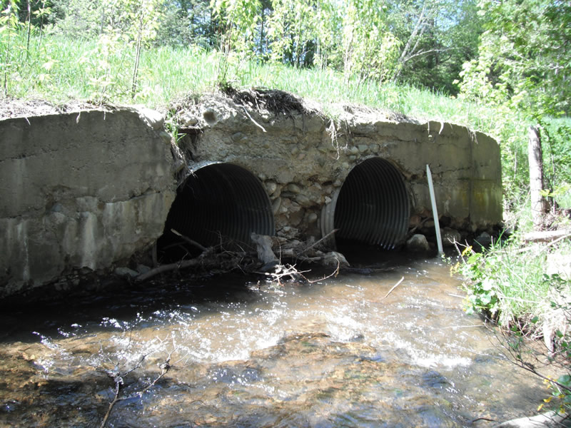
Inlet
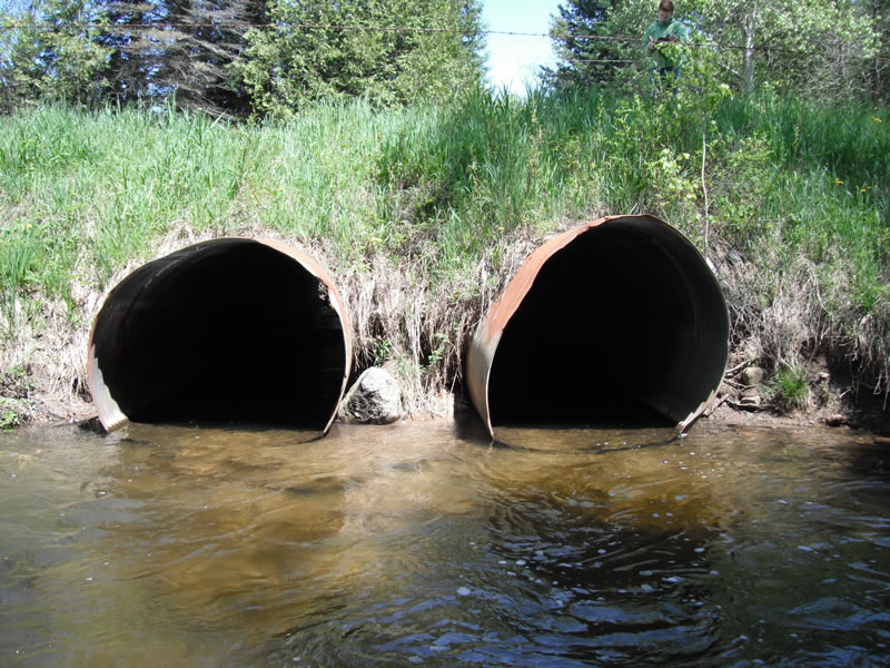
Outlet
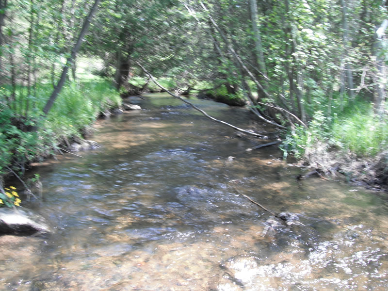
Upstream Conditions
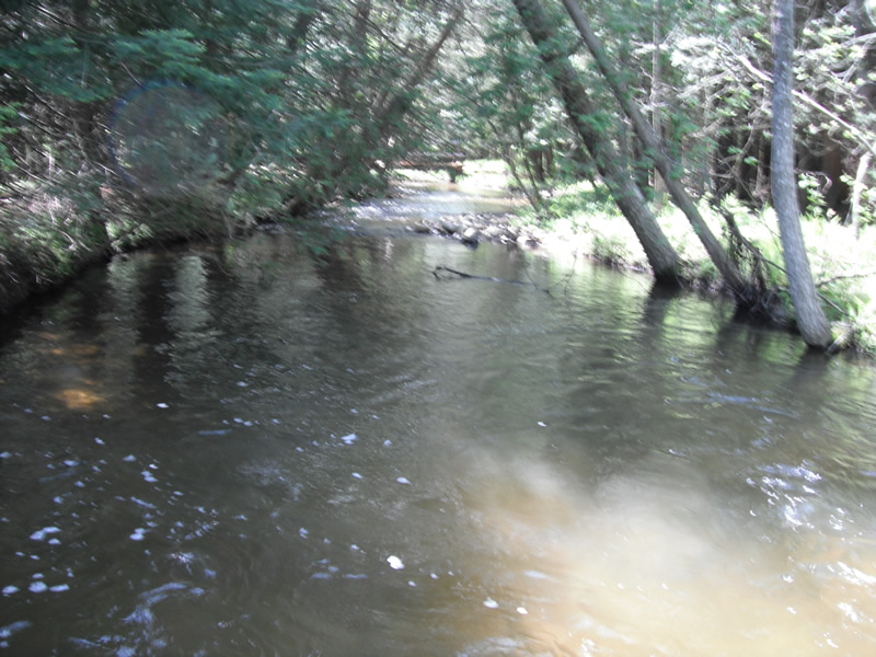
Downstream Conditions
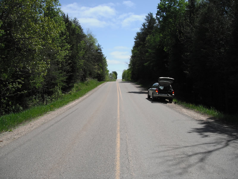
Road Approach - Left
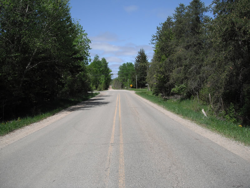
Road Approach - Right
Crossing Information
Type of Crossing: culvert(s)
Number of Structures: 2
Structure Shape: Round
Inlet Type: Headwall
Outlet Type: At Stream Grade
Structure Material: Metal
Structure Substrate: None
General Conditions: Poor
Multiple Culverts/Spans | ||||
Culvert/Span | Width | Length | Height | Material |
2 |
4.8 ft. |
50 ft. |
5.1 ft. |
Metal |
Structure Interior: corrugated
Dimensions of Structure: Length 50 ft.
, Width 5 ft.
, Height 5 ft.
Structure is NOT Perched
Structure Inlet
Water Depth: 1 ft.
Embedded Depth of Structure: 0 ft.
Water Velocity*: 3.1 ft./sec.
Structure Outlet
Water Depth: 1.2 ft.
Embedded Depth of Structure: 0 ft.
Water Velocity*: 2.4 ft./sec.
*Water Velocities were measured 0.5 ft. below Surface
(with Meter)
Stream Information
Stream Flow: Less than 1/2 Bankfull
Scour Pool: Length 17 ft.
, Width 20 ft.
, Depth 3.2 ft.
Upstream Pond: Length 0 ft.
, Width 0 ft.
, Depth 0 ft.
Riffle Information
Water Depth: 0.5 ft.
Bankfull Width: 24 ft.
Wetted Width: 20 ft.
Water Velocity: 2 ft./sec.
(Measured with Meter)
Dominant Substrate: Gravel
Road Information
Paved
County Road
Road Condition: Good
Road Width at Culvert: 21 ft.
Location of Low Point: At Stream
Runoff Path: Ditch
Embankments
Upstream
Fill Depth: 3.5 ft.
Slope: 1:2
Downstream
Fill Depth: 3 ft.
Slope: 1:2
Approaches
Left Approach
Length: 358 ft.
Slope: 1% to 5%
Vegetation: Heavy
LS Factor: 0.472
Erosion: 0.1172 tons/year
Right Approach
Length: 258 ft.
Slope: 1% to 5%
Vegetation: Heavy
LS Factor: 0.443
Erosion: 0.0794 tons/year
Erosion Information
Total Erosion at Crossing: 1.1153 tons/year
Extent of Erosion: Moderate
Notes: headwall is deteriating, embankment erosion, erosion around pipe #1 into bak
Location of Erosion | Erosion Dimensions | Eroded Material | Material Eroded | Total Erosion | ||
facing downstream | Length | Width | Depth | Reaching Stream? | (tons/year) | |
Right Upstream |
20 ft. |
2.5 ft. |
1.4 ft. |
yes |
Sand |
0.2156 |
Right Approach |
6.4 ft. |
28 ft. |
1 ft. |
yes |
Gravel |
0.0448 |
Left Downstream |
8.6 ft. |
8.8 ft. |
2.1 ft. |
yes |
Sand |
0.1391 |
Right Downstream |
13.8 ft. |
6.9 ft. |
4 ft. |
no |
Sand |
0.425 |
Right Downstream |
7.2 ft. |
4 ft. |
1.7 ft. |
yes |
Sand |
0.0942 |
Summary Information
Fish Passability 0
Fish Passage is an area of concern for this site.
fish passage
A future visit to this site is recommended. condition of headwall and high water velocities
�