Road Stream Crossing Site RIF_OG9
Rifle River Watershed, Houghton Creek
Beechwood Rd
Rose Twp,
Ogemaw County
Information collected by:
Site Location
GPS Coordinates: 44.45239
, -84.1067
T24N
R36
Sec 20
Fish Passability 0
Structure is NOT Perched
Severity: Severe
Year Inventoried: 2012
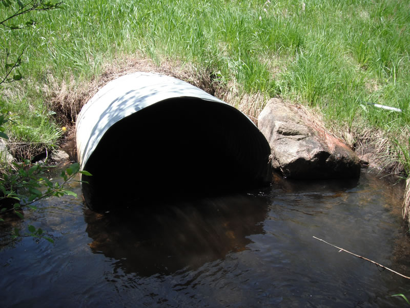
Inlet
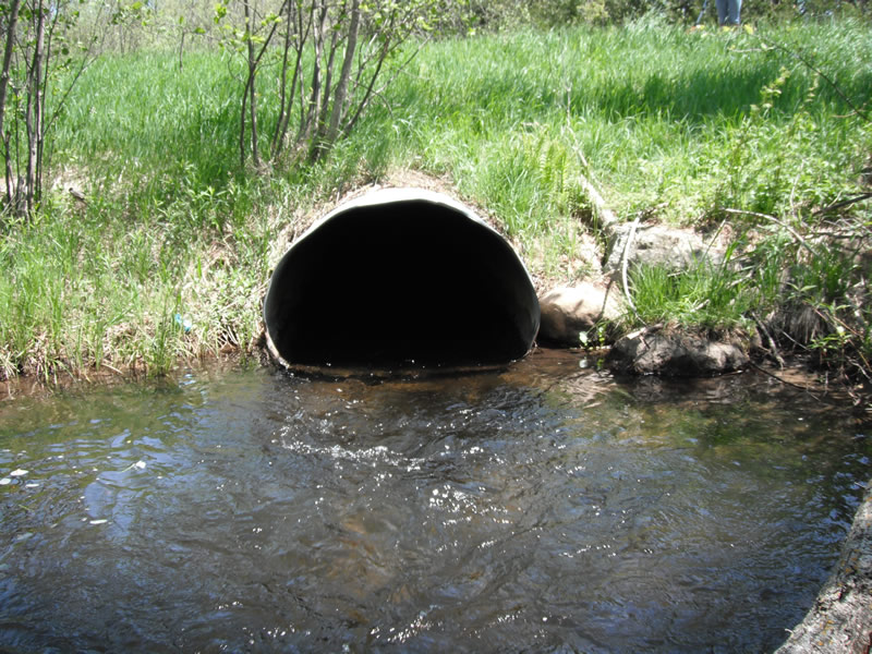
Outlet
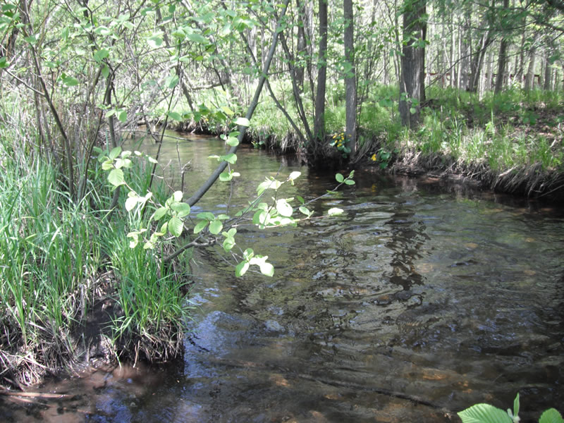
Upstream Conditions
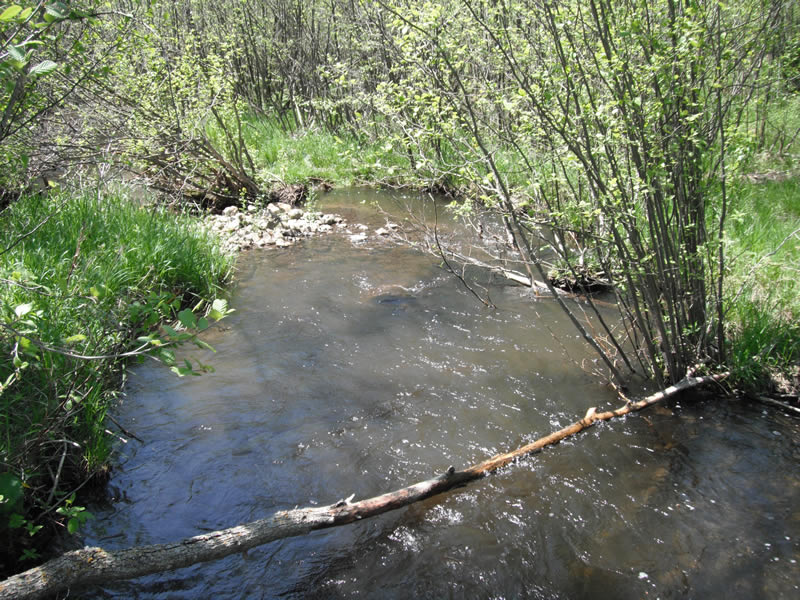
Downstream Conditions
Road Approach - Left
Road Approach - Right
Crossing Information
Type of Crossing: culvert(s)
Number of Structures: 1
Structure Shape: Pipe Arch
Inlet Type: Projecting
Outlet Type: At Stream Grade
Structure Material: Metal
Structure Substrate: None
General Conditions: Good
Structure Interior: corrugated
Dimensions of Structure: Length 70 ft.
, Width 4 ft.
, Height 2.9 ft.
Structure is NOT Perched
Structure Inlet
Water Depth: 0.7 ft.
Embedded Depth of Structure: 0 ft.
Water Velocity*: 2.1 ft./sec.
Structure Outlet
Water Depth: 0.6 ft.
Embedded Depth of Structure: 0 ft.
Water Velocity*: 6 ft./sec.
*Water Velocities were measured 0.3 ft. below Surface
(with Meter)
Stream Information
Stream Flow: Less than 1/2 Bankfull
Scour Pool: Length 17.3 ft.
, Width 16.4 ft.
, Depth 2.5 ft.
Upstream Pond: Length 9 ft.
, Width 10.9 ft.
Riffle Information
Water Depth: 0.5 ft.
Bankfull Width: 14.8 ft.
Wetted Width: 12.5 ft.
Water Velocity: 1.2 ft./sec.
(Measured with Meter)
Dominant Substrate: Cobble
Road Information
Paved
County Road
Road Width at Culvert: 21 ft.
Location of Low Point: Other
Runoff Path: Ditch
Embankments
Upstream
Fill Depth: 4.1 ft.
Slope: More than 1:2
Downstream
Fill Depth: 4 ft.
Slope: More than 1:2
Length: 850 ft.
Slope: 1% to 5%
Vegetation: Heavy
Vegetation: Heavy
Erosion Information
Extent of Erosion: Minor
Notes: erosion happening in outside of pipe down embankment
Location of Erosion | Erosion Dimensions | Eroded Material | Material Eroded | Total Erosion | ||
facing downstream | Length | Width | Depth | Reaching Stream? | (tons/year) | |
Right Upstream |
3.2 ft. |
1.3 ft. |
2.7 ft. |
yes |
Sand |
0.0095 |
Left Upstream |
2.8 ft. |
1.6 ft. |
0.4 ft. |
yes |
Sand |
0.0012 |
Summary Information
Fish Passability 0
Fish Passage is an area of concern for this site.
headwaters stream of high velocity at outlet
�