Road Stream Crossing Site RIF_OG54
Rifle River Watershed, Tributary of Klacking Creek
N. Campbell Rd
West Branch Twp,
Ogemaw County
Information collected by:
Site Location
GPS Coordinates: 44.32858
, -84.14621
T22N
R2E
Sec 1
Fish Passability 0.5
Structure is NOT Perched
Total Erosion: 0.6727 tons/year
Severity: Moderate
Year Inventoried: 2012

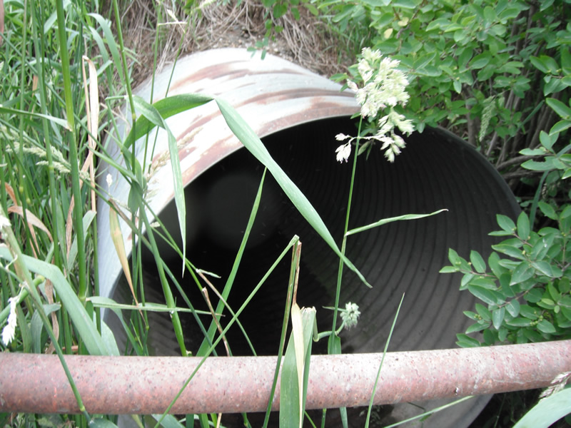
Inlet
Outlet
Upstream Conditions
Downstream Conditions
Road Approach - Left
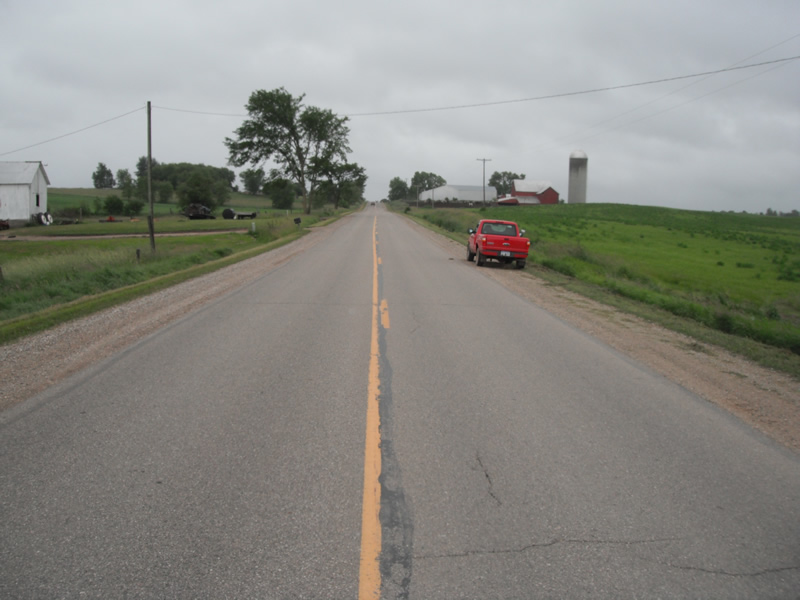
Road Approach - Right
Crossing Information
Type of Crossing: culvert(s)
Number of Structures: 1
Structure Shape: Round
Inlet Type: Projecting
Outlet Type: At Stream Grade
Structure Material: Metal
Structure Substrate: Mixture
General Conditions: Good
Structure Interior: corrugated
Dimensions of Structure: Length 78 ft.
, Width 3.7 ft.
, Height 3.7 ft.
Structure is NOT Perched
Structure Inlet
Water Depth: 0.1 ft.
Embedded Depth of Structure: 0 ft.
Water Velocity*: 0 ft./sec.
Structure Outlet
Water Depth: 0.1 ft.
Embedded Depth of Structure: 0.1 ft.
Water Velocity*: 0 ft./sec.
*Water Velocities were measured at the Surface
(with Float Test)
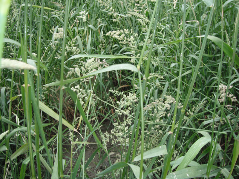
Additional Comments
no stream flow
Stream Information
Stream Flow: None
Scour Pool: Length 0 ft.
, Width 0 ft.
, Depth 0 ft.
Upstream Pond: Length 0 ft.
, Width 0 ft.
, Depth 0 ft.
Riffle Information
Water Depth: 0 ft.
Bankfull Width: 0 ft.
Wetted Width: 0 ft.
Water Velocity: 0 ft./sec.
(Measured with Float Test)
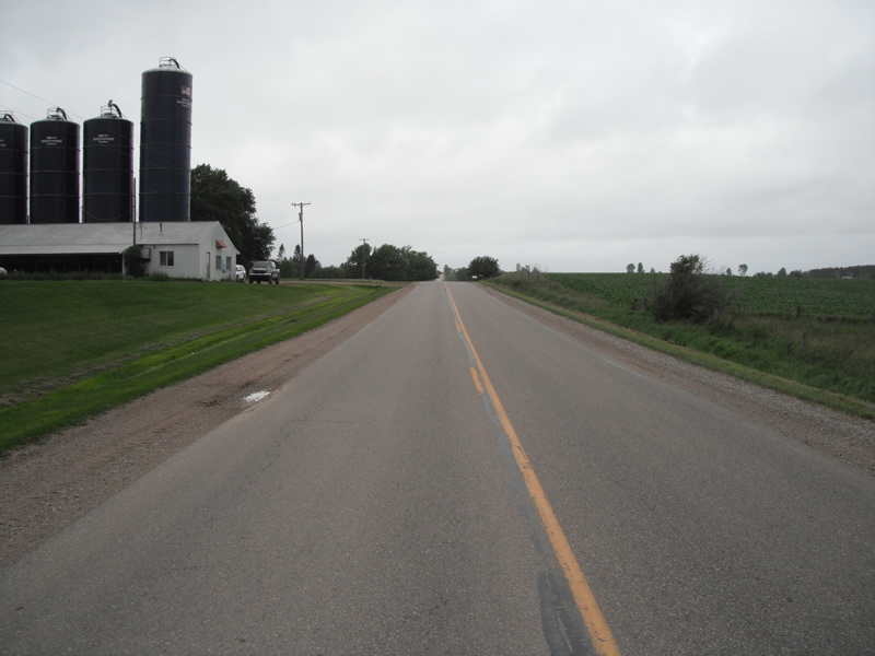
Road Information
Paved
County Road
Road Condition: Good
Road Width at Culvert: 35 ft.
Location of Low Point: At Stream
Embankments
Upstream
Fill Depth: 2.5 ft.
Slope: More than 1:2
Downstream
Fill Depth: 4 ft.
Slope: More than 1:2
Approaches
Left Approach
Length: 486 ft.
Slope: 1% to 5%
Vegetation: Heavy
LS Factor: 0.497
Erosion: 0.2796 tons/year
Right Approach
Length: 645 ft.
Slope: 1% to 5%
Vegetation: Heavy
LS Factor: 0.527
Erosion: 0.3931 tons/year
Erosion Information
Total Erosion at Crossing: 0.6727 tons/year
Summary Information
Fish Passability 0.5
�