Road Stream Crossing Site RIF_OG93
Rifle River Watershed, North Eddy Creek
Cook Rd
West Branch Twp,
Ogemaw County
Information collected by:
Site Location
GPS Coordinates: 44.26207
, -84.22913
T22N
R2E
Sec 30
Fish Passability 0.5
Structure is NOT Perched
Severity: Moderate
Year Inventoried: 2012
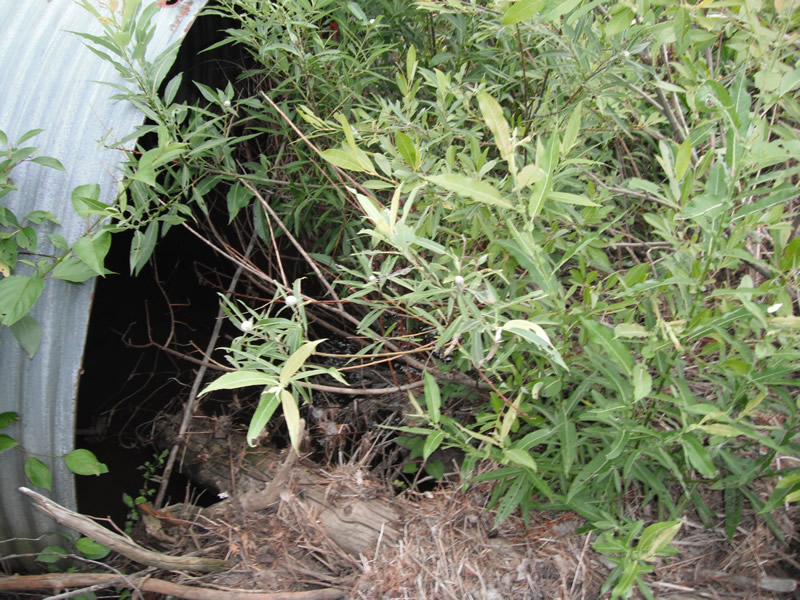
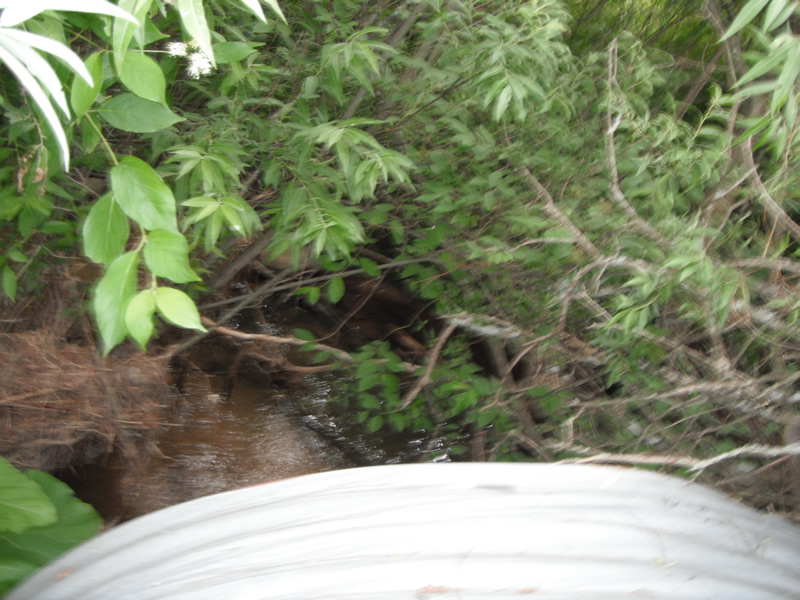
Inlet
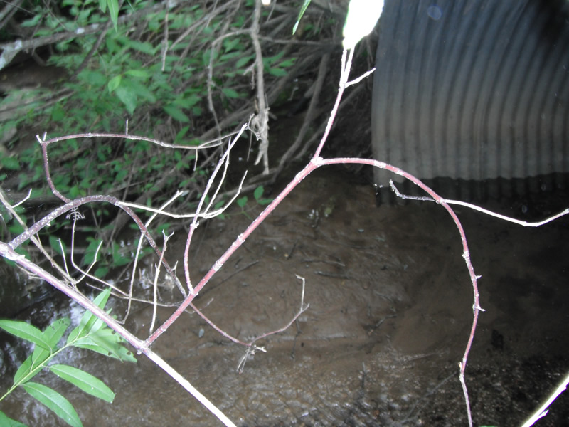
Outlet
Upstream Conditions
Downstream Conditions
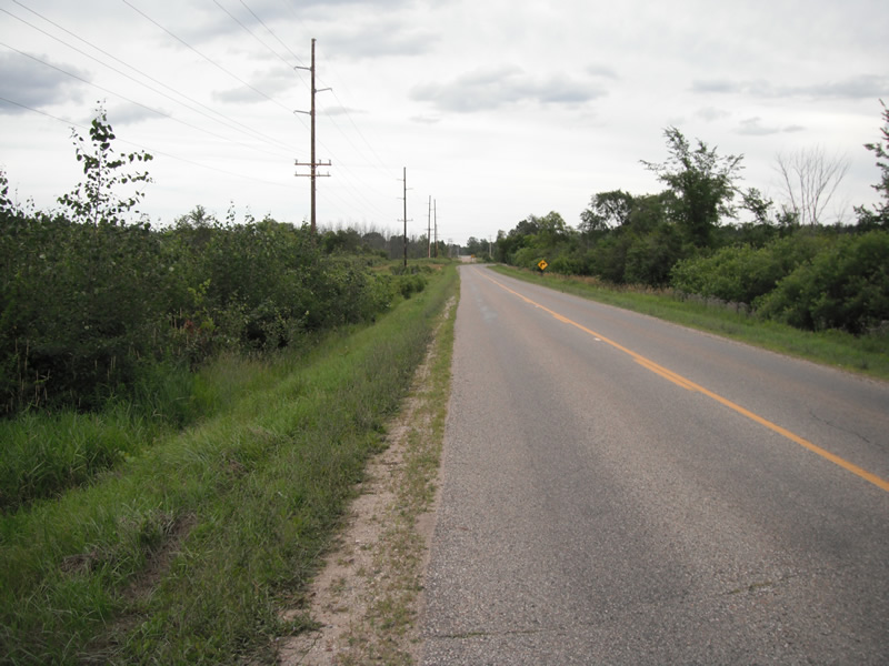
Road Approach - Left
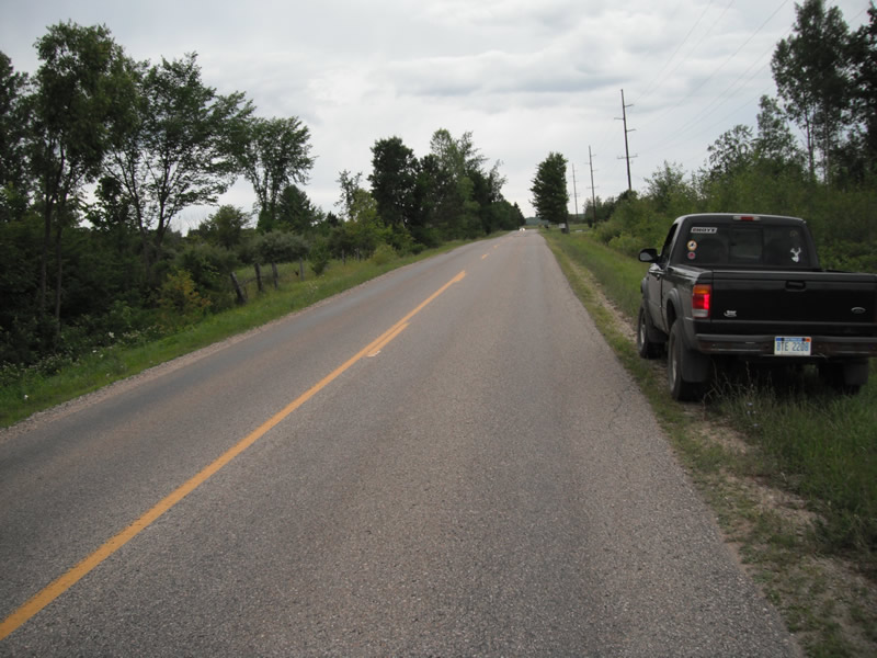
Road Approach - Right
Crossing Information
Type of Crossing: culvert(s)
Number of Structures: 1
Structure Shape: Pipe Arch
Inlet Type: Projecting
Structure Material: Metal
Structure Substrate: Sand
General Conditions: Poor
Structure Interior: corrugated
Structure is Rusted through
Dimensions of Structure: Length 71 ft.
, Width 7.9 ft.
, Height 5 ft.
Structure is NOT Perched
Structure Inlet
Water Depth: 1 ft.
Embedded Depth of Structure: 0 ft.
Water Velocity*: 0.2 ft./sec.
Structure Outlet
Water Depth: 0.1 ft.
Embedded Depth of Structure: 0.4 ft.
Water Velocity*: 1 ft./sec.
*Water Velocities were measured at the Surface
(with Float Test)
Stream Information
Stream Flow: Less than 1/2 Bankfull
Scour Pool: Length 0 ft.
, Width 0 ft.
, Depth 0 ft.
Upstream Pond: Length 0 ft.
, Width 0 ft.
, Depth 0 ft.
Riffle Information
Water Depth: 0.5 ft.
Bankfull Width: 10.1 ft.
Wetted Width: 8.9 ft.
Water Velocity: 0.5 ft./sec.
(Measured with Float Test)
Dominant Substrate: Sand
Road Information
Paved
County Road
Road Condition: Fair
Road Width at Culvert: 20 ft.
Location of Low Point: Other
Runoff Path: Ditch
Embankments
Upstream
Fill Depth: 3.6 ft.
Slope: 1:2
Downstream
Fill Depth: 4 ft.
Vegetation: Heavy
Length: 153 ft.
Slope: 1% to 5%
Vegetation: Heavy
Erosion Information
Extent of Erosion: Severe
Notes: erosion in one location is severe
Location of Erosion | Erosion Dimensions | Eroded Material | Material Eroded | Total Erosion | ||
facing downstream | Length | Width | Depth | Reaching Stream? | (tons/year) | |
Right Upstream |
6.3 ft. |
3.3 ft. |
2.9 ft. |
yes |
Sand |
0.4019 |
Summary Information
Fish Passability 0.5
Erosion is an area of concern for this site.
severe erosion
A future visit to this site is recommended. erosion
�