Road Stream Crossing Site RIF_OG96
Rifle River Watershed, North Eddy Creek
West Airport Rd
West Branch Twp,
Ogemaw County
Information collected by:
Site Location
GPS Coordinates: 44.24771
, -84.19595
T22N
R2E
Sec 33
Total Erosion: 0.0694 tons/year
Severity: Minor
Year Inventoried: 2012
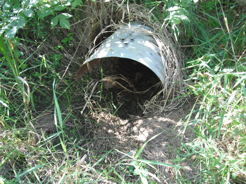
Inlet
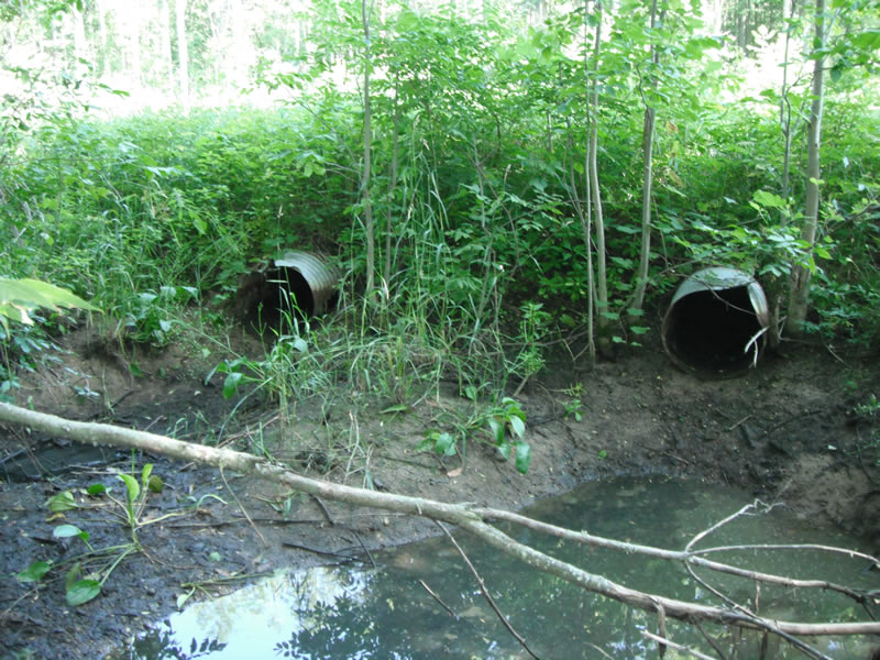
Outlet
Upstream Conditions
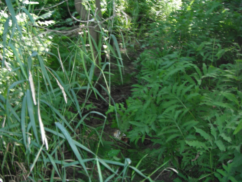
Downstream Conditions
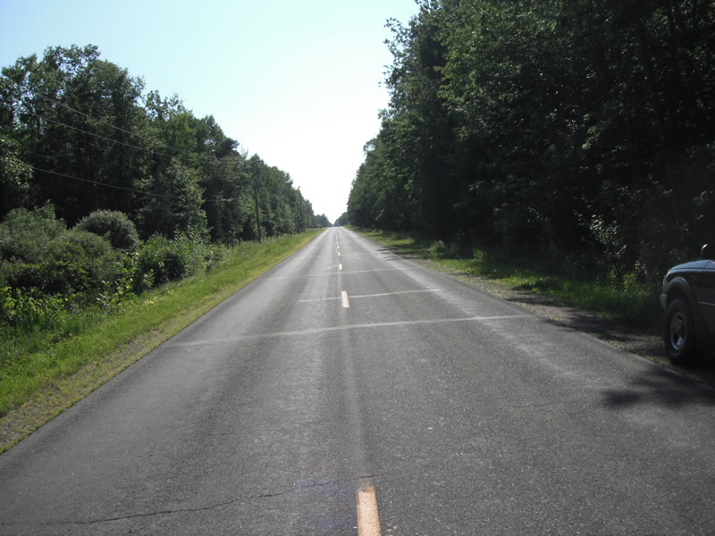
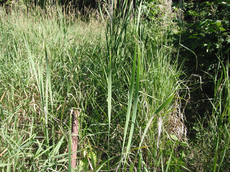
Road Approach - Left
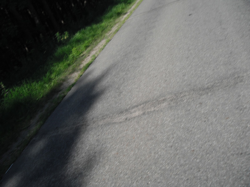
Road Approach - Right
Crossing Information
Type of Crossing: culvert(s)
Number of Structures: 2
Structure Shape: Round
Multiple Culverts/Spans | ||||
Culvert/Span | Width | Length | Height | Material |
2 |
2.2 ft. |
56 ft. |
1.8 ft. |
Metal |
Dimensions of Structure: Length 56 ft.
, Width 1.9 ft.
, Height 1.9 ft.
Road Information
Paved
County Road
Road Condition: Fair
Road Width at Culvert: 21 ft.
Location of Low Point: At Stream
Runoff Path: Ditch
Embankments
Upstream
Fill Depth: 2.4 ft.
Slope: More than 1:2
Downstream
Fill Depth: 3 ft.
Slope: More than 1:2
Approaches
Left Approach
Length: 1000 ft.
Slope: Less Than 1%
Vegetation: Heavy
LS Factor: 0.05
Erosion: 0.0347 tons/year
Right Approach
Length: 1000 ft.
Slope: Less Than 1%
Vegetation: Heavy
LS Factor: 0.05
Erosion: 0.0347 tons/year
Erosion Information
Total Erosion at Crossing: 0.0694 tons/year
Extent of Erosion: Stabilized
Summary Information
�