Road Stream Crossing Site RIF_OG18
Rifle River Watershed, Gamble Creek
Rose City Rd
Rose Twp,
Ogemaw County
Information collected by:
Site Location
GPS Coordinates: 44.42143
, -84.02805
T24N
R3E
Sec 36
Fish Passability 0
Structure is NOT Perched
Total Erosion: 0.2872 tons/year
Severity: Severe
Year Inventoried: 2012
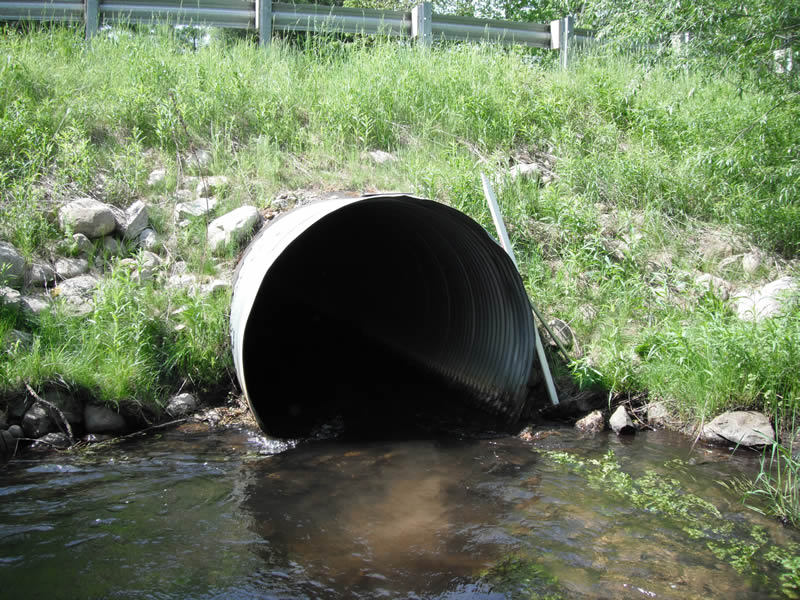
Inlet
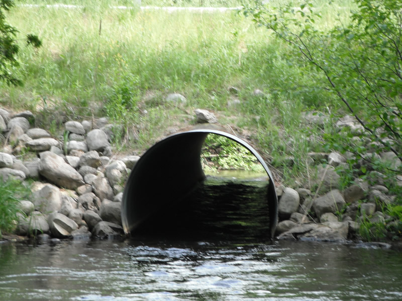
Outlet
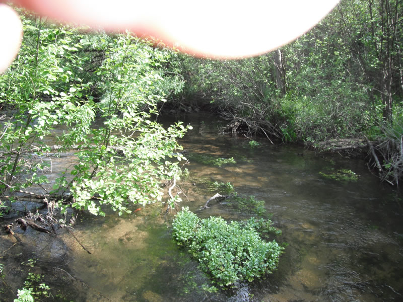
Upstream Conditions
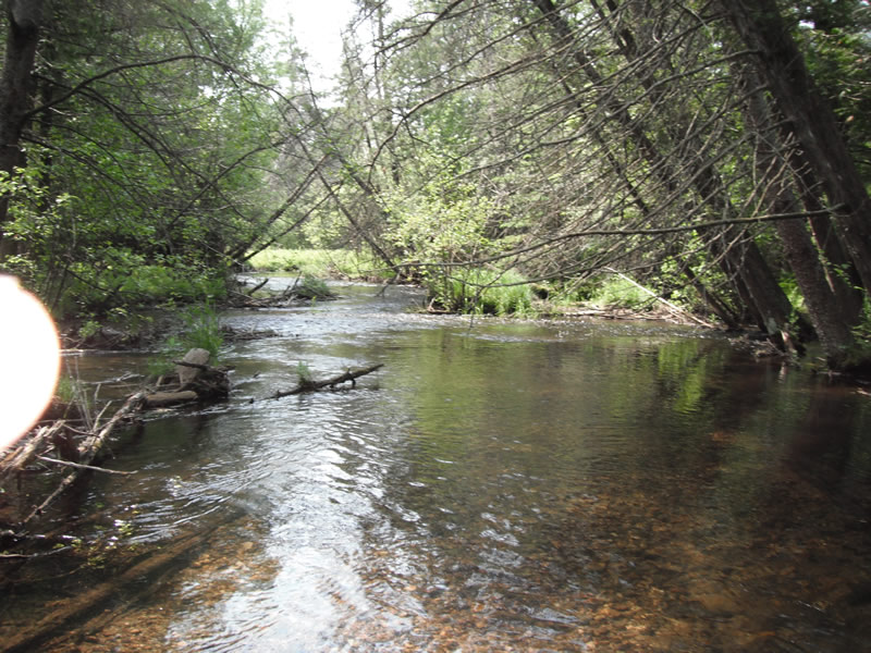
Downstream Conditions
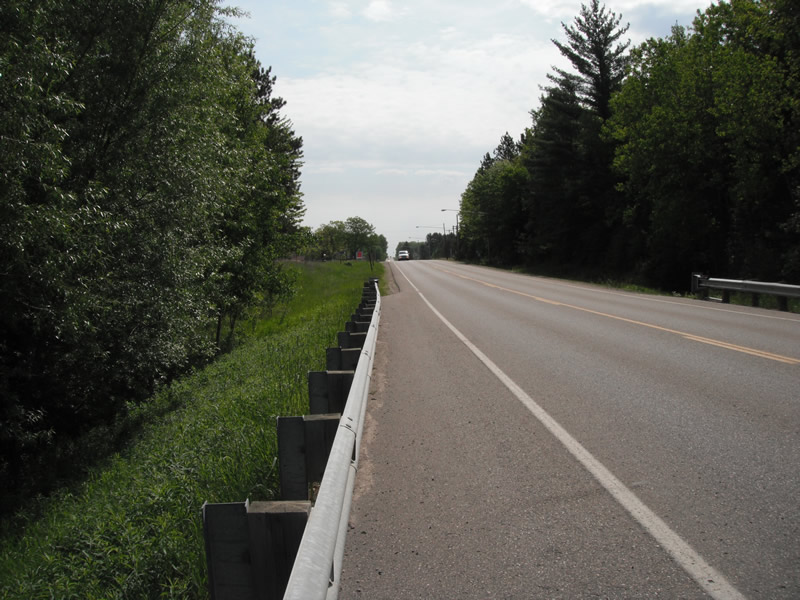
Road Approach - Left
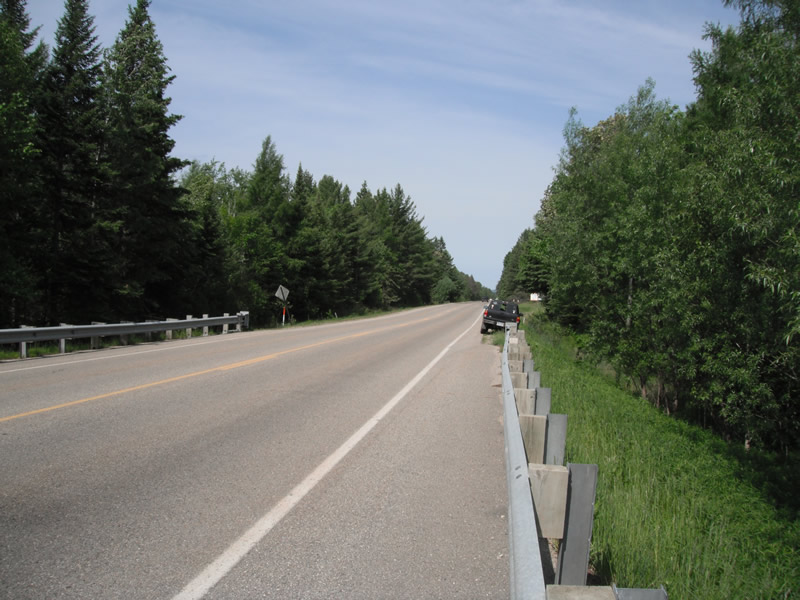
Road Approach - Right
Crossing Information
Type of Crossing: culvert(s)
Number of Structures: 1
Structure Shape: Round
Inlet Type: Projecting
Outlet Type: At Stream Grade
Structure Material: Metal
Structure Substrate: None
General Conditions: Good
Structure Interior: corrugated
Dimensions of Structure: Length 71 ft.
, Width 6 ft.
, Height 6 ft.
Structure is NOT Perched
Structure Inlet
Water Depth: 1.5 ft.
Embedded Depth of Structure: 0 ft.
Water Velocity*: 3.5 ft./sec.
Structure Outlet
Water Depth: 1.9 ft.
Embedded Depth of Structure: 0 ft.
Water Velocity*: 1.8 ft./sec.
(with Meter)
Stream Information
Stream Flow: Less than 1/2 Bankfull
Scour Pool: Length 50 ft.
, Width 27 ft.
, Depth 4 ft.
Upstream Pond: Length 21 ft.
, Width 18.1 ft.
, Depth 0 ft.
Riffle Information
Water Depth: 0.8 ft.
Bankfull Width: 19.7 ft.
Wetted Width: 19.1 ft.
Water Velocity: 1.4 ft./sec.
(Measured with Meter)
Dominant Substrate: Cobble
Road Information
Paved
County Road
Road Condition: Good
Road Width at Culvert: 24 ft.
Location of Low Point: At Stream
Runoff Path: Ditch
Embankments
Upstream
Fill Depth: 5.2 ft.
Slope: 1:1.5
Downstream
Fill Depth: 6 ft.
Slope: 1:2
Approaches
Left Approach
Length: 600 ft.
Slope: 1% to 5%
Vegetation: Heavy
LS Factor: 0.52
Erosion: 0.2475 tons/year
Right Approach
Length: 1000 ft.
Slope: Less Than 1%
Vegetation: Heavy
LS Factor: 0.05
Erosion: 0.0397 tons/year
Erosion Information
Total Erosion at Crossing: 0.2872 tons/year
Summary Information
Fish Passability 0
Fish Passage is an area of concern for this site.
hoh velocity is to high
A future visit to this site is recommended. fish passage
�