Road Stream Crossing Site RIF_OG19
Rifle River Watershed, Vaugh Creek
Rose City Rd
Rose Twp,
Ogemaw County
Information collected by:
Site Location
GPS Coordinates: 44.42144
, -84.03683
T24N
R3E
Sec 35
Fish Passability 0.9
Structure is NOT Perched
Total Erosion: 0.0793 tons/year
Severity: Minor
Year Inventoried: 2012
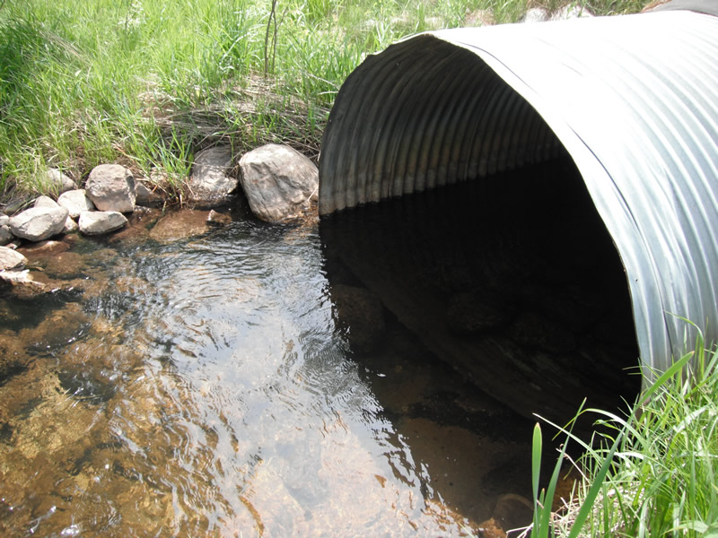
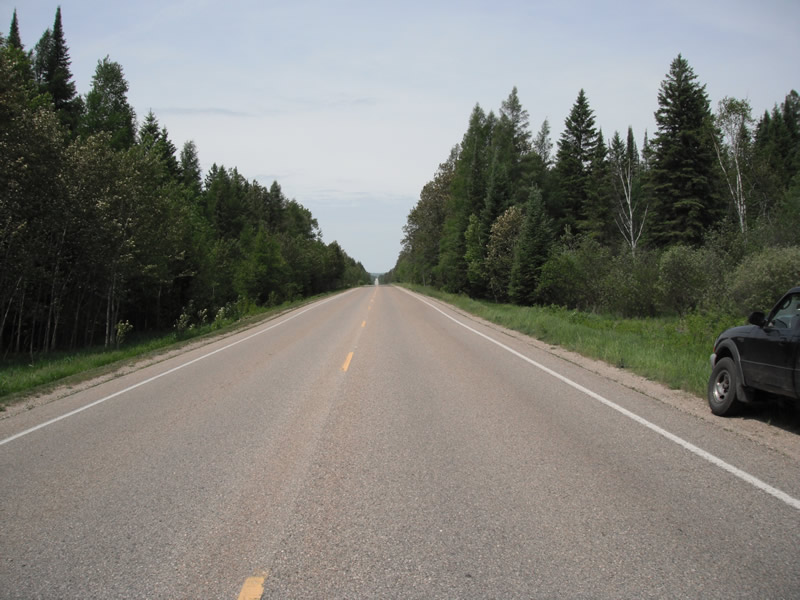
Inlet
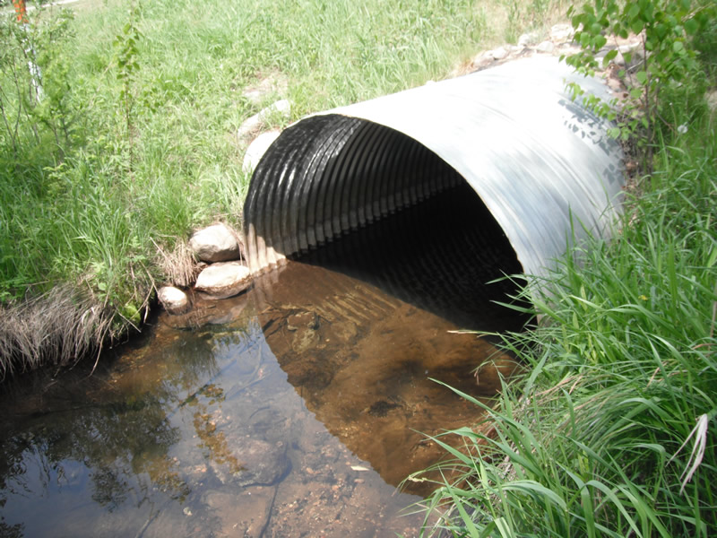
Outlet
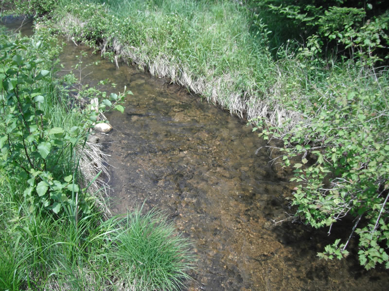
Upstream Conditions
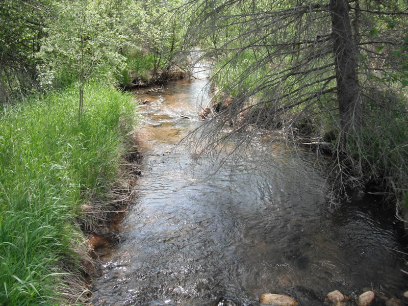
Downstream Conditions
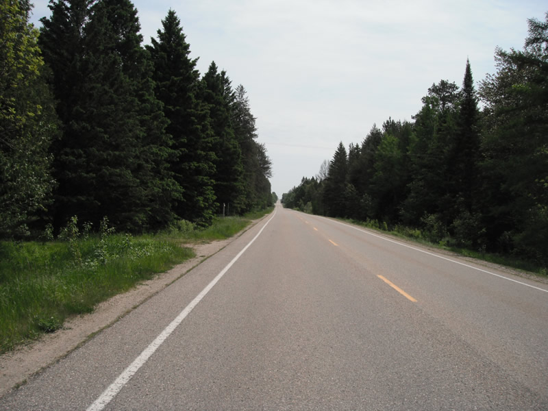
Road Approach - Left
Road Approach - Right
Crossing Information
Type of Crossing: culvert(s)
Number of Structures: 1
Structure Shape: Pipe Arch
Inlet Type: Projecting
Outlet Type: At Stream Grade
Structure Material: Metal
Structure Substrate: Sand
General Conditions: Good
Structure Interior: corrugated
Dimensions of Structure: Length 66 ft.
, Width 7.2 ft.
, Height 5 ft.
Structure is NOT Perched
Structure Inlet
Water Depth: 1.3 ft.
Embedded Depth of Structure: 0.8 ft.
Water Velocity*: 0.8 ft./sec.
Structure Outlet
Water Depth: 1.4 ft.
Embedded Depth of Structure: 0.2 ft.
Water Velocity*: 0.7 ft./sec.
*Water Velocities were measured 0.6 ft. below Surface
(with Meter)
Stream Information
Stream Flow: Less than 1/2 Bankfull
Scour Pool: Length 20 ft.
, Width 13.8 ft.
, Depth 1 ft.
Upstream Pond: Length 15.1 ft.
, Width 14.1 ft.
, Depth 0 ft.
Riffle Information
Water Depth: 0.7 ft.
Bankfull Width: 10.4 ft.
Wetted Width: 7.9 ft.
Water Velocity: 1.4 ft./sec.
(Measured with Meter)
Dominant Substrate: Sand
Road Information
Paved
County Road
Road Condition: Good
Road Width at Culvert: 24 ft.
Location of Low Point: At Stream
Runoff Path: Ditch
Embankments
Upstream
Fill Depth: 2.2 ft.
Slope: More than 1:2
Downstream
Fill Depth: 2 ft.
Slope: More than 1:2
Approaches
Left Approach
Length: 1000 ft.
Slope: Less Than 1%
Vegetation: Heavy
LS Factor: 0.05
Erosion: 0.0397 tons/year
Right Approach
Length: 1000 ft.
Slope: Less Than 1%
Vegetation: Heavy
LS Factor: 0.05
Erosion: 0.0397 tons/year
Erosion Information
Total Erosion at Crossing: 0.0793 tons/year
Extent of Erosion: Stabilized
Notes: erosion up stream has been fixed by rock rip rap
Summary Information
Fish Passability 0.9
Erosion is an area of concern for this site.
bend in front of culvert making stream change direction
�