Road Stream Crossing Site RIF_OG24
Rifle River Watershed, Tributary of Wilkins Creek
M-33
Cumming Twp,
Ogemaw County
Information collected by:
Site Location
GPS Coordinates: 44.40841
, -84.11622
T23N
R3E
Sec 6
Fish Passability 0
Perch Height: 1.8 ft.
Total Erosion: 0.1481 tons/year
Severity: Severe
Year Inventoried: 2012
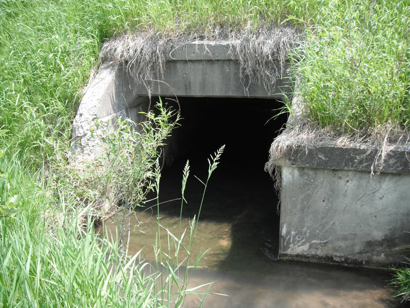
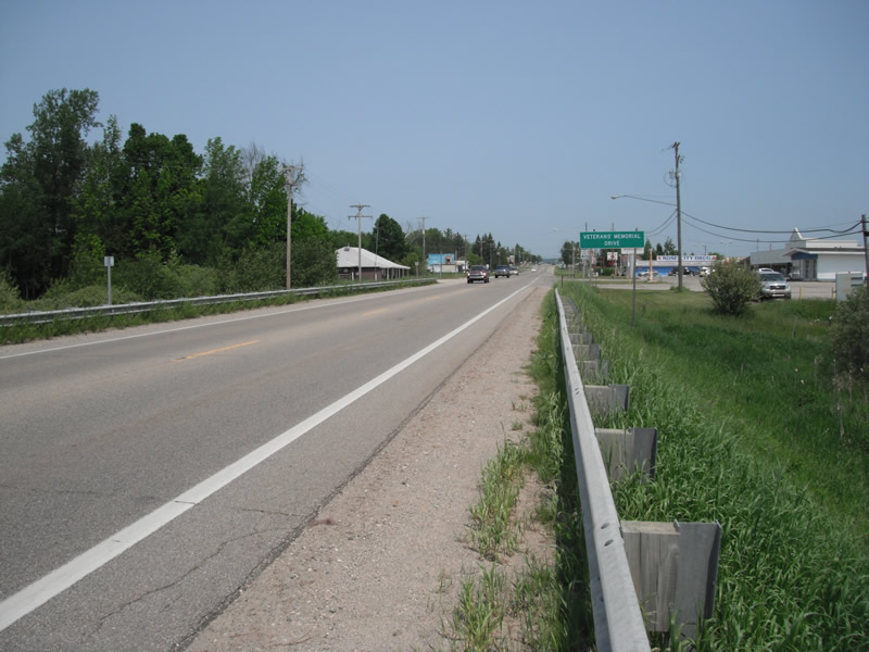
Inlet
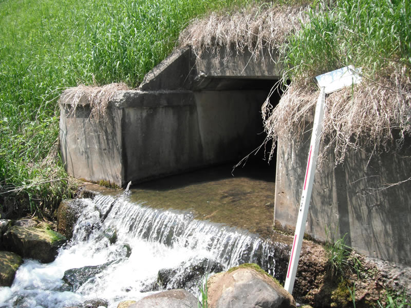
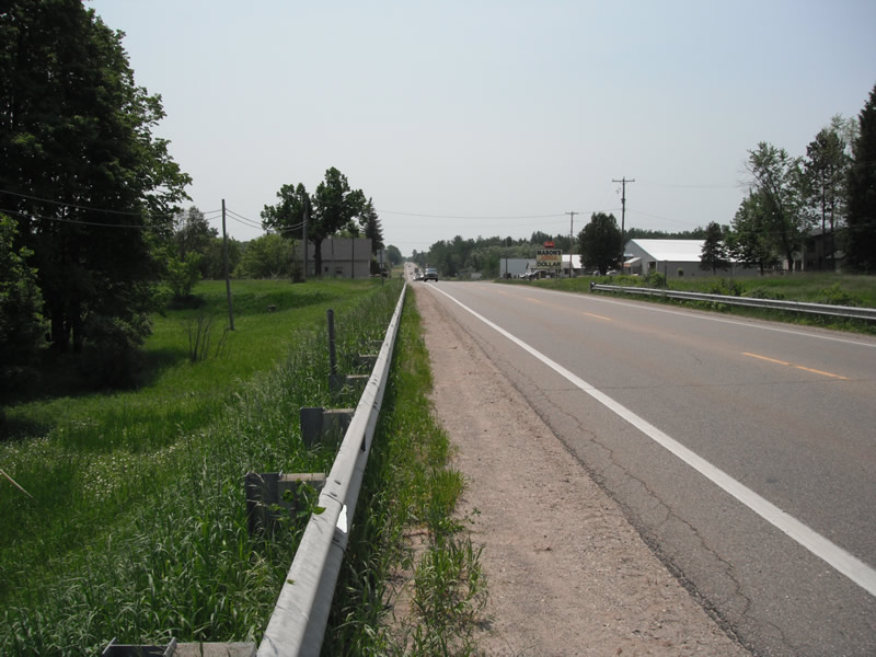
Outlet
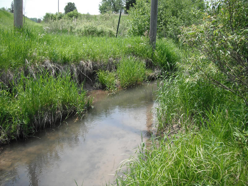
Upstream Conditions
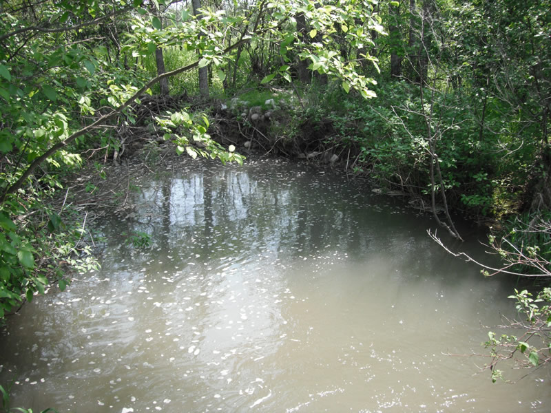
Downstream Conditions
Road Approach - Left
Road Approach - Right
Crossing Information
Type of Crossing: Bridge
Number of Structures: 1
Structure Shape: Square/Rectangle
Inlet Type: Headwall
Outlet Type: Cascade over Riprap
Structure Material: Concrete
Structure Substrate: None
General Conditions: Poor
Structure Interior: smooth
Dimensions of Structure: Length 44 ft.
, Width 6 ft.
, Height 3.6 ft.
Perch Height: 1.8 ft.
Structure Inlet
Water Depth: 0.3 ft.
Embedded Depth of Structure: 0 ft.
Water Velocity*: 2.9 ft./sec.
Structure Outlet
Water Depth: 0.2 ft.
Embedded Depth of Structure: 0 ft.
Water Velocity*: 2.9 ft./sec.
*Water Velocities were measured at the Surface
(with Float Test)
Stream Information
Stream Flow: Less than 1/2 Bankfull
Scour Pool: Length 30 ft.
, Width 25 ft.
, Depth 3.1 ft.
Upstream Pond: Length 5.4 ft.
, Width 9.4 ft.
, Depth 0 ft.
Riffle Information
Water Depth: 0.5 ft.
Bankfull Width: 11.1 ft.
Wetted Width: 7.6 ft.
Water Velocity: 1.9 ft./sec.
(Measured with Float Test)
Dominant Substrate: Sand
Road Information
Paved
State Road
Road Condition: Good
Road Width at Culvert: 25 ft.
Location of Low Point: Other
Runoff Path: Ditch
Embankments
Upstream
Fill Depth: 7 ft.
Slope: 1:1.5
Downstream
Fill Depth: 8 ft.
Slope: 1:1.5
Approaches
Left Approach
Length: 0 ft.
Slope: Less Than 1%
Vegetation: Heavy
LS Factor: 0.05
Erosion: 0 tons/year
Right Approach
Length: 1000 ft.
Slope: Less Than 1%
Vegetation: Heavy
LS Factor: 0.05
Erosion: 0.0413 tons/year
Erosion Information
Total Erosion at Crossing: 0.1481 tons/year
Extent of Erosion: Moderate
Notes: erosion on streambank, upstream/downstream both sides, right before and after bridge
Location of Erosion | Erosion Dimensions | Eroded Material | Material Eroded | Total Erosion | ||
facing downstream | Length | Width | Depth | Reaching Stream? | (tons/year) | |
Left Downstream |
3.7 ft. |
5.6 ft. |
0.9 ft. |
yes |
Sand |
0.0256 |
Right Downstream |
4 ft. |
11.4 ft. |
0.7 ft. |
yes |
Sand |
0.0216 |
Right Upstream |
4.2 ft. |
2.6 ft. |
1.1 ft. |
yes |
Sand |
0.0356 |
Left Upstream |
3.9 ft. |
2.9 ft. |
0.8 ft. |
yes |
Sand |
0.024 |
Summary Information
Fish Passability 0
�