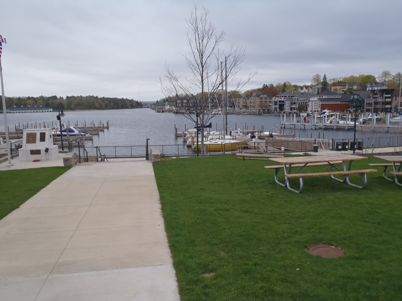
Road Stream Crossing Site CHAR_CX08
Lake Charlevoix Watershed, Round Lake
Mason
Charlevoix Twp,
Charlevoix County
Information collected by:
Site Location
GPS Coordinates: 45.31604
, -85.25877
T34N
R08W
Sec 26
Owned by Private
Other
Other
Year Inventoried: 2011
Contact Point
Road Approach - Left
Crossing Information
Type of Crossing: Contact Point
General Conditions: Good
Road Information
Paved
Town Road
Road Condition: Good
Road Width at Culvert: 48 ft.
Location of Low Point: At Stream
Length: 522 ft.
Slope: 1% to 5%
Vegetation: Partial
Erosion Information
Summary Information
�