Road Stream Crossing Site RIF_OG32
Rifle River Watershed, Tributary of Prior Creek
Townline Rd
Cumming Twp,
Ogemaw County
Information collected by:
Site Location
GPS Coordinates: 44.38737
, -84.12634
T23N
R3E
Sec 18
Fish Passability 0.5
Structure is NOT Perched
Total Erosion: 4.655 tons/year
Severity: Severe
Year Inventoried: 2012
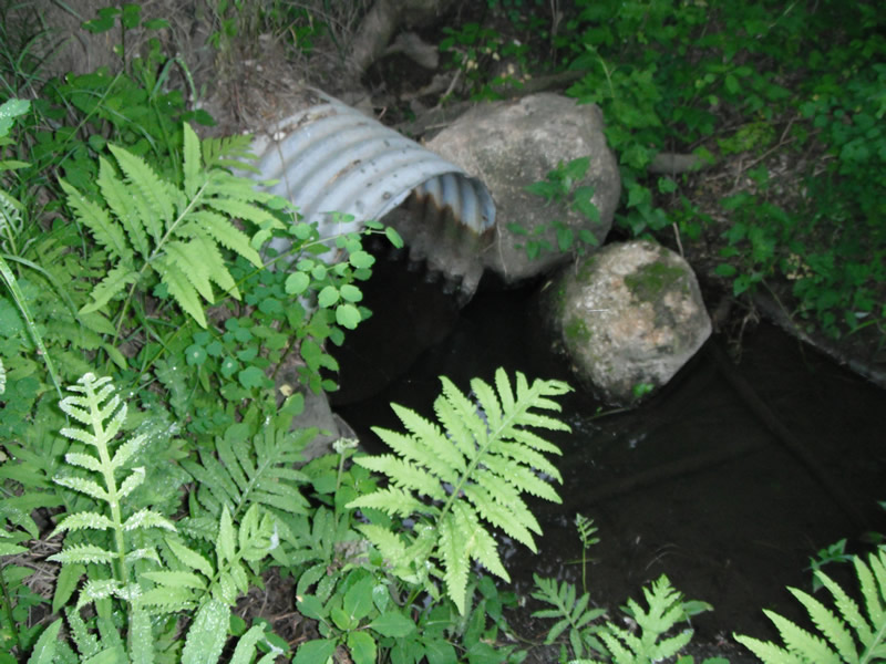
Inlet
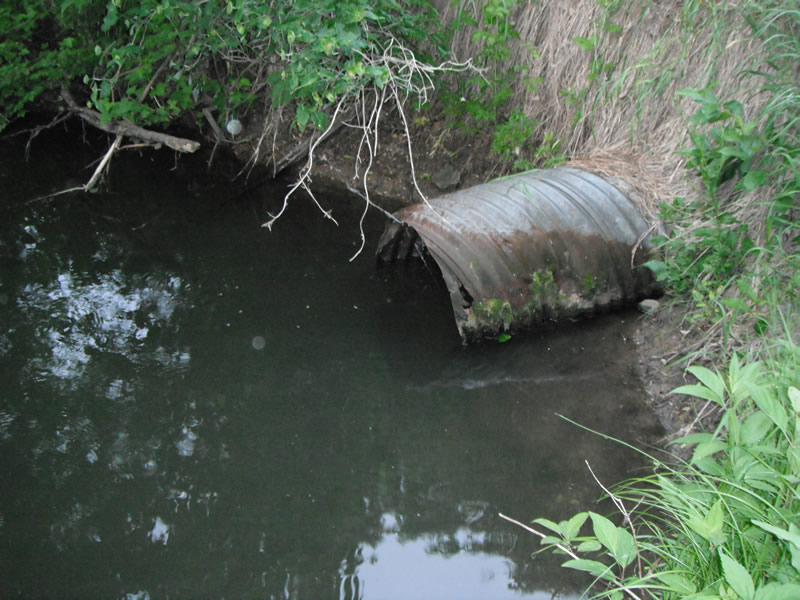
Outlet
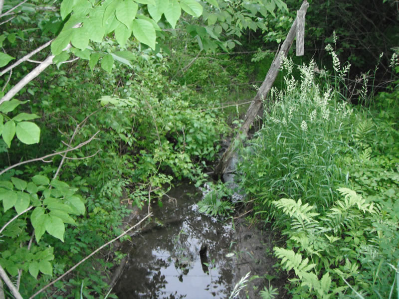
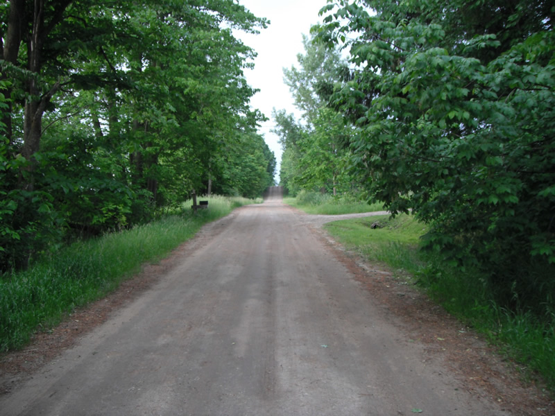
Upstream Conditions
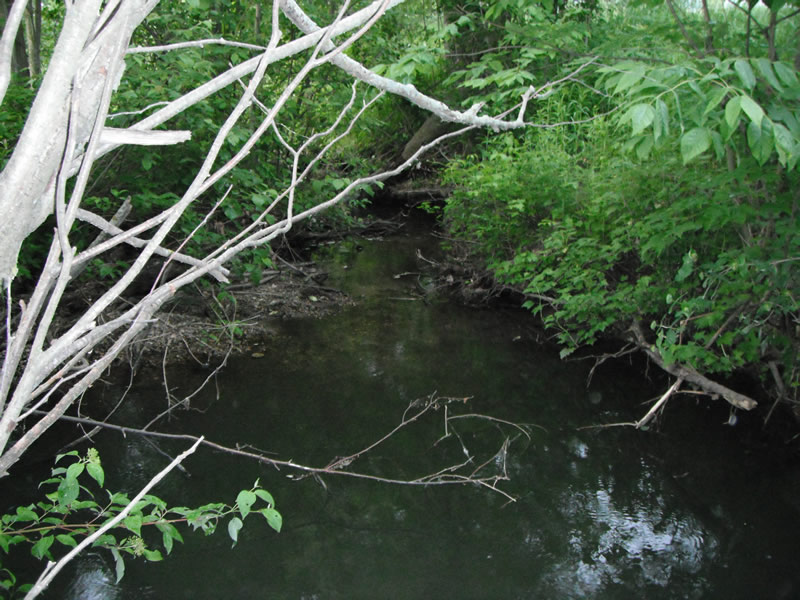
Downstream Conditions
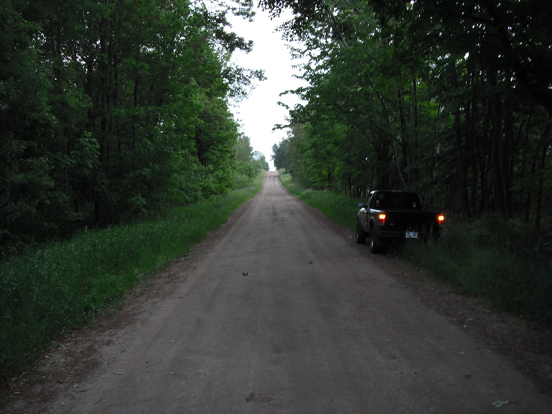
Road Approach - Left
Road Approach - Right
Crossing Information
Type of Crossing: culvert(s)
Number of Structures: 1
Structure Shape: Round
Inlet Type: Projecting
Outlet Type: At Stream Grade
Structure Material: Metal
Structure Substrate: None
General Conditions: Poor
Structure Interior: corrugated
Structure is Rusted through
Dimensions of Structure: Length 35 ft.
, Width 2.1 ft.
, Height 2.1 ft.
Structure is NOT Perched
Structure Inlet
Water Depth: 0.4 ft.
Embedded Depth of Structure: 0 ft.
Water Velocity*: 0.5 ft./sec.
Structure Outlet
Water Depth: 0.9 ft.
Embedded Depth of Structure: 0 ft.
Water Velocity*: 1 ft./sec.
*Water Velocities were measured at the Surface
(with Float Test)
Stream Information
Stream Flow: Less than 1/2 Bankfull
Scour Pool: Length 17.4 ft.
, Width 4.9 ft.
, Depth 2.9 ft.
Upstream Pond: Length 3.8 ft.
, Width 4.9 ft.
, Depth 0 ft.
Riffle Information
Water Depth: 0.3 ft.
Bankfull Width: 4.9 ft.
Wetted Width: 2.9 ft.
Water Velocity: 0.7 ft./sec.
(Measured with Float Test)
Dominant Substrate: Gravel
Road Information
Gravel
County Road
Road Condition: Fair
Road Width at Culvert: 15 ft.
Location of Low Point: At Stream
Runoff Path: Ditch
Embankments
Upstream
Fill Depth: 2.2 ft.
Slope: 1:1.5
Downstream
Fill Depth: 3 ft.
Slope: 1:1.5
Approaches
Left Approach
Length: 948 ft.
Slope: 1% to 5%
Vegetation: Heavy
LS Factor: 0.565
Erosion: 2.2125 tons/year
Right Approach
Length: 1000 ft.
Slope: 1% to 5%
Vegetation: Heavy
LS Factor: 0.57
Erosion: 2.3554 tons/year
Erosion Information
Total Erosion at Crossing: 4.655 tons/year
Extent of Erosion: Moderate
Notes: moderate erosion upstream and downstream from runoff
Location of Erosion | Erosion Dimensions | Eroded Material | Material Eroded | Total Erosion | ||
facing downstream | Length | Width | Depth | Reaching Stream? | (tons/year) | |
Right Upstream |
3.4 ft. |
4.2 ft. |
2.6 ft. |
yes |
Gravel |
0.0619 |
Left Upstream |
2.4 ft. |
2.2 ft. |
0.9 ft. |
yes |
Sand |
0.0166 |
Right Downstream |
5.6 ft. |
15 ft. |
0.2 ft. |
yes |
Sand |
0.0086 |
Summary Information
Fish Passability 0.5
A future visit to this site is recommended. the condition of the culvert is preatty bad and needs to be inspected farther
�